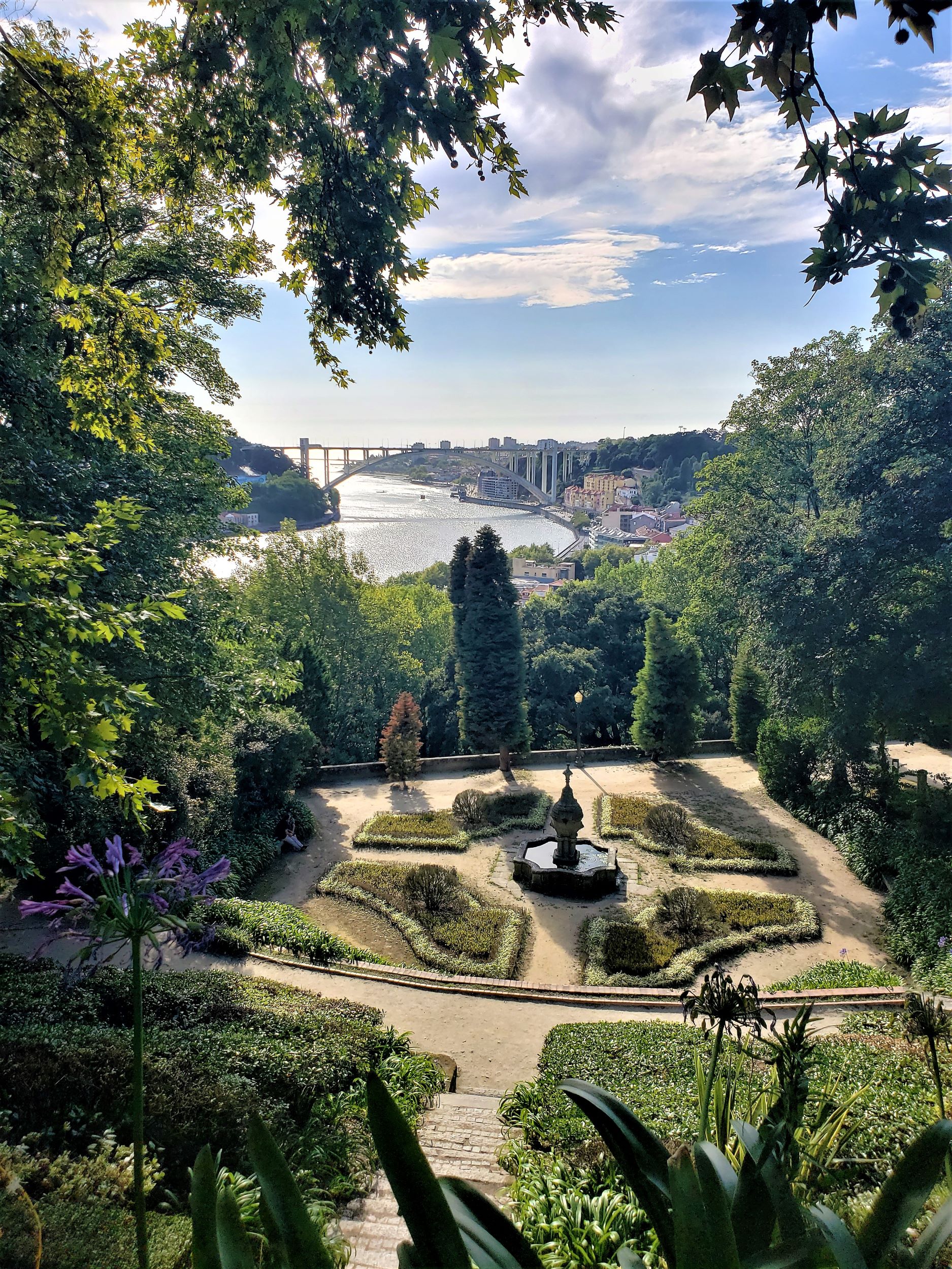
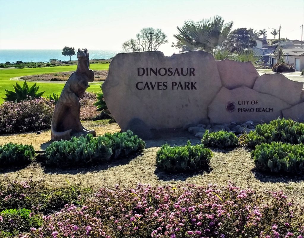
February 6…….we woke up in Lompoc, CA and drank some much-needed Starbucks coffee. Our travel plan for the day was to drive around 6 hours or so and wind up near Sacramento on our way to Washington. We stopped at Pismo Beach to stretch our legs….and as we pulled up at Dinosaur Caves Park for what was supposed to be an hour or so driving break….the motorhome was making some pretty interesting noises. Long story short, Kevin wound up replacing the alternator in a parking lot. (This was way better than his initial assessment of a possible defunct water pump!). By the time he had figured out what was wrong, gotten the part, and replaced it we decided it really was not going to be very productive to drive on. So…we found a nearby RV park and made the best of it! (Lovely RV park by the way – very clean, great amenities https://www.pismosands.com ). And hey, there are worse places to be stuck than on the California coast on a beautiful sunny day!
We stayed at the Bisbee RV Park Campground in Naco, AZ ( https://bisbeervpark.com) while exploring Southern Arizona. The RV park was very nice, and our host, Bruce, made sure we had all the essentials. The park was very affordable and offered monthly rates… We will likely take advantage of this location again.
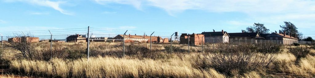
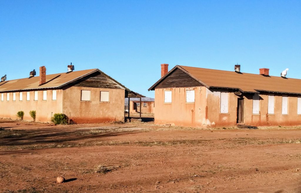
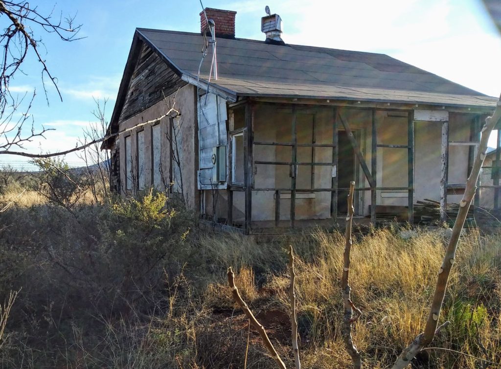
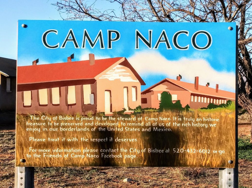
The town of Naco is a historical border town. During the Mexican revolution, both sides fought to control Naco, because of its economic success and location on the US border. Fort Huachuca stationed US Buffalo Soldiers in Naco, AZ to protect US citizens who went to Naco to watch the Mexican fighting. Eventually the Army build a camp to house the Soldiers permanently. Parts of Camp Naco/Fort Naco still stand in the original adobe. There are apparently efforts to restore the site (it looked as if work had recently been done on a couple of the buildings), and it is the only remaining military site of 12 the U.S. built along the border between 1910 and 1920 during the Mexican Revolution. (If you are interested, find more information at http://www.azbackcountryadventures.com/naco.htm ).
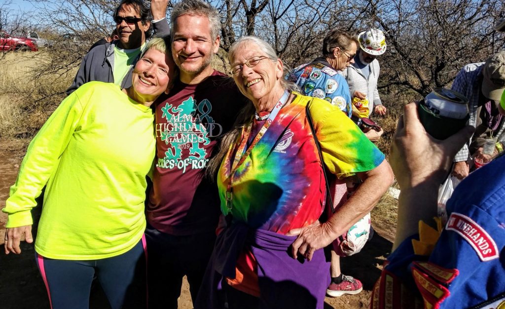
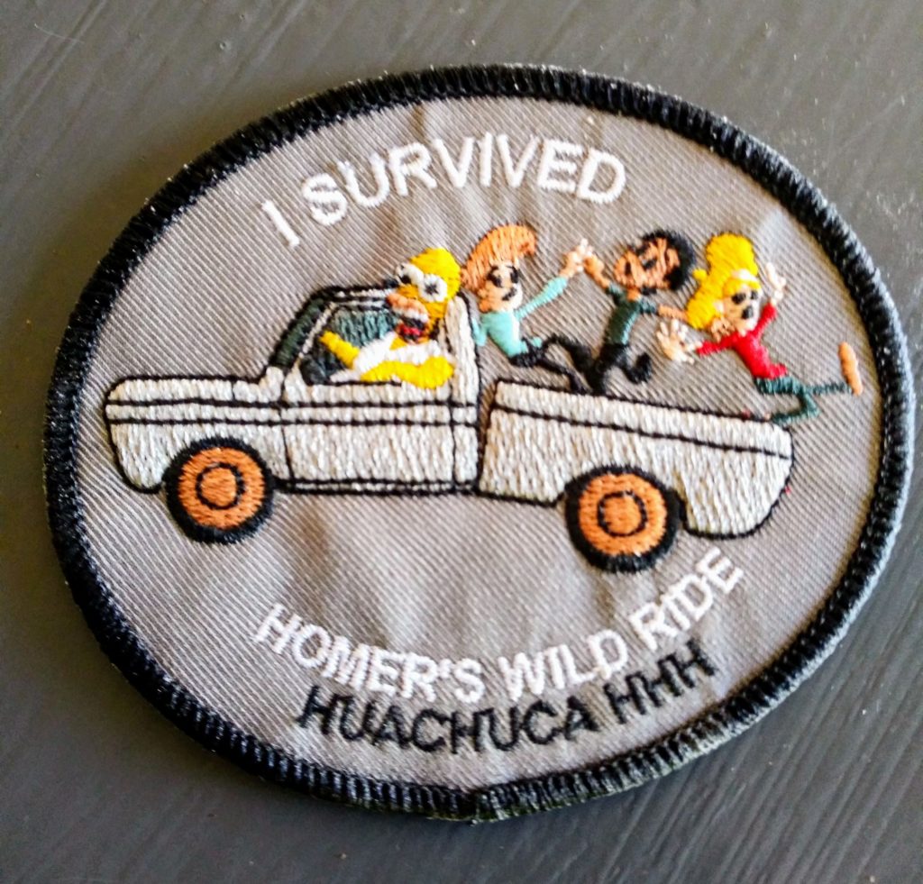
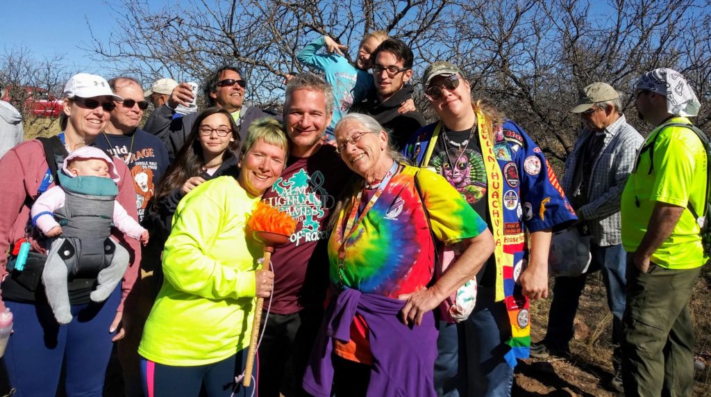
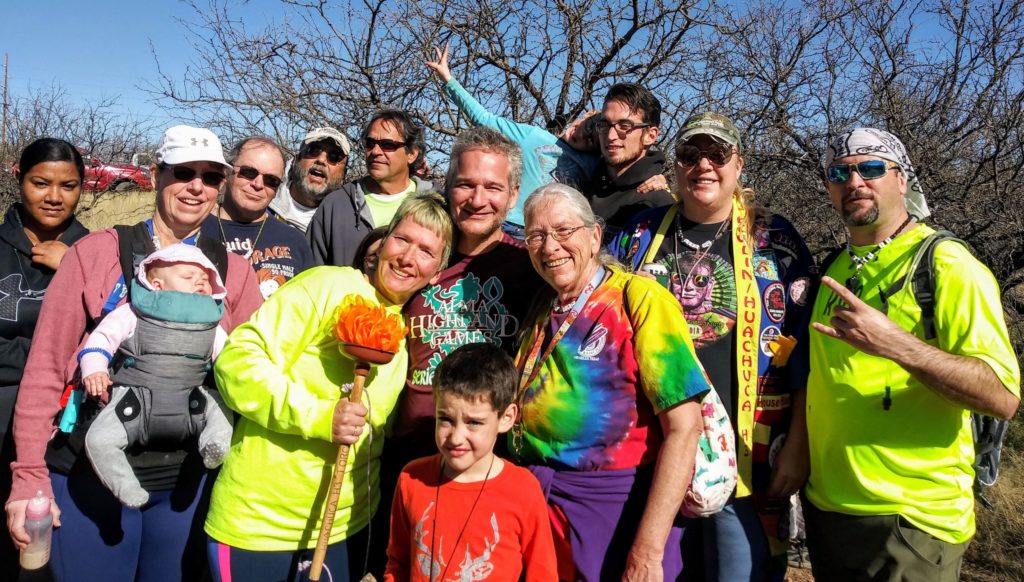
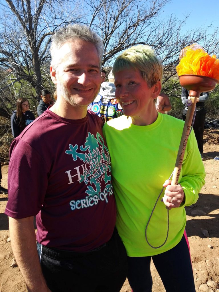
What is a hash run, you say? A lot of fun with some people who like to run, drink, and socialize. Donna’s sister Diane has told us about hash runs for years…and we finally had an opportunity to tag along!!
Hash House Harriers are social groups that exist all over the world. From our understanding they meet roughly weekly for the hash (or hash run). The hashers will sometimes allow for walkers as well as runners.
Here’s how it works. Everyone meets at a common start point. By this time someone is already designated as the hare (or hares). After everyone arrives, the hares begin running. The hares leave a trail (using chalk markings) for the rest of the group (the hounds) to follow. After the designated waiting time, the hounds take off, following the trail in hopes of catching the hares. The hares leave false trails, and decision points to confuse the hounds. And they can leave the trail marks in pretty non discrete locations, to further shake the hounds.
At the end of the course, there is a cooler of beer and sundry snacks. Our hosts, the Huachuca Hash House Harriers also provided non-alcoholic beverages. After the race, the hashers circle up and celebrate some social time. There are awards, and recognition and some good fun. We’ve left a lot out, because we don’t wish to spoil the fun for those who might find an H3 group.
Following the trail was a blast, and it kept our minds off the distance we ran. We are both interested in finding a Hash group when we get back home. And we would recommend you give it a shot, if you come across a group.
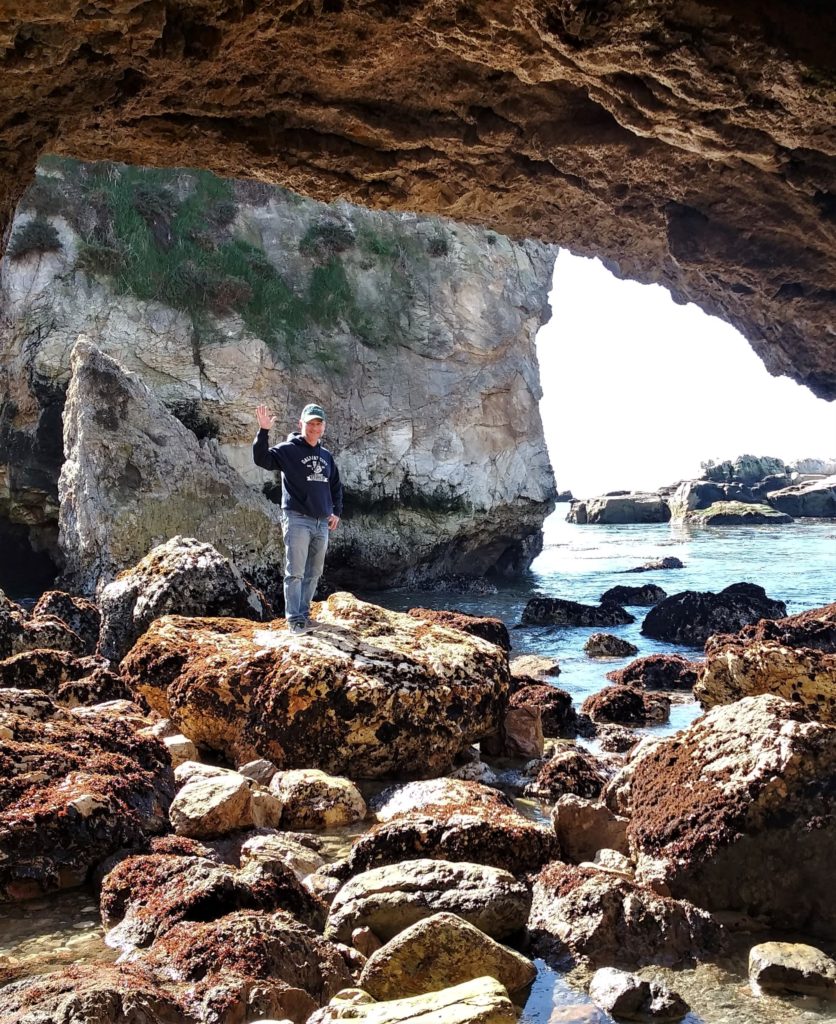
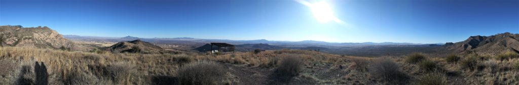
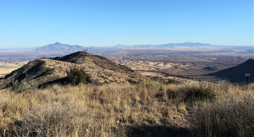
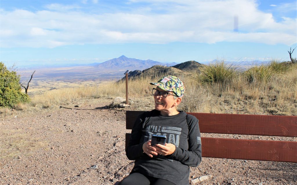
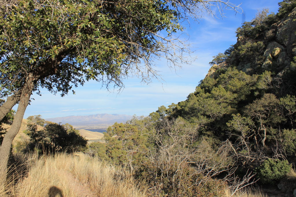
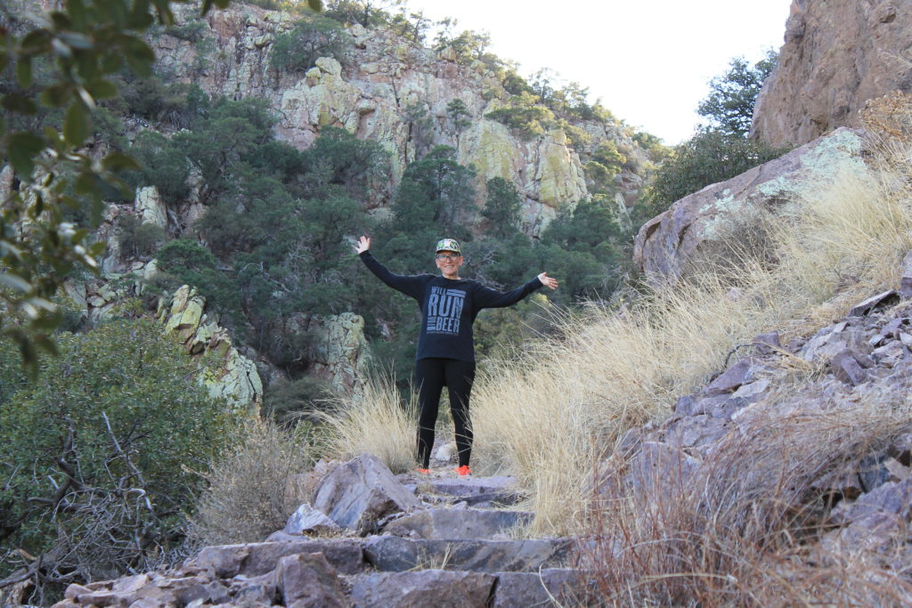
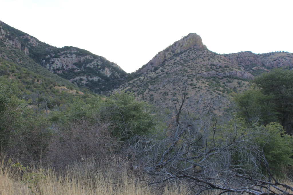
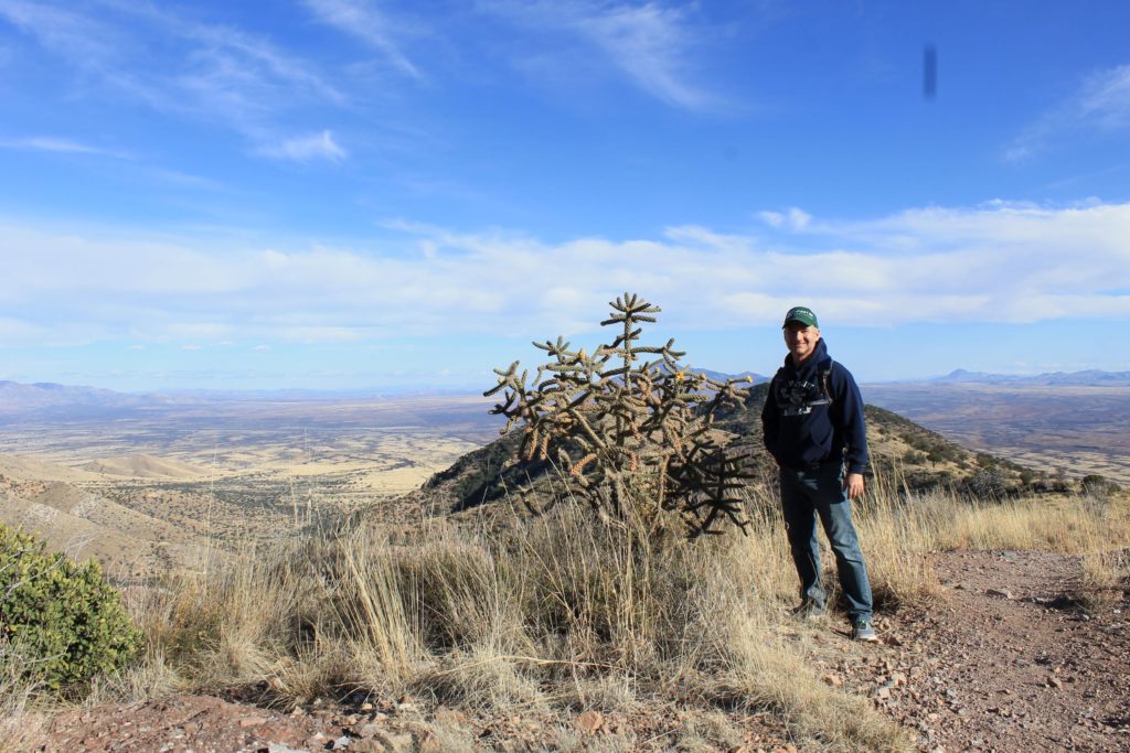
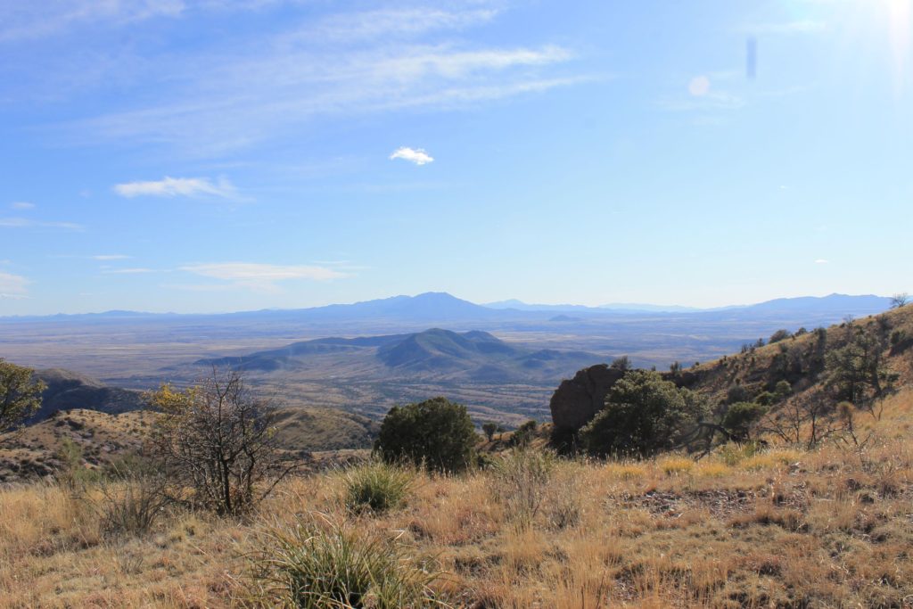
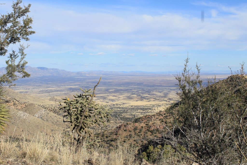
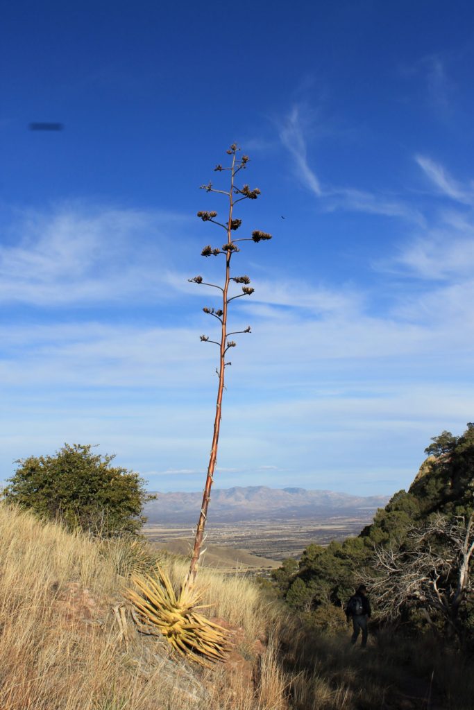
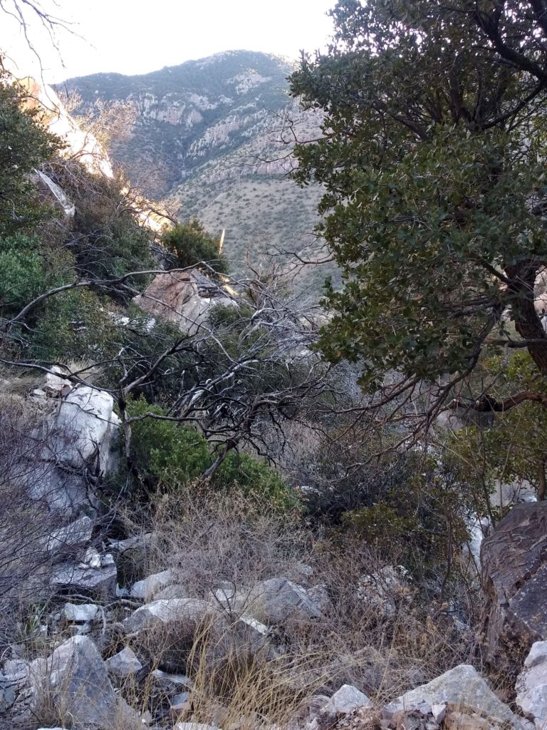
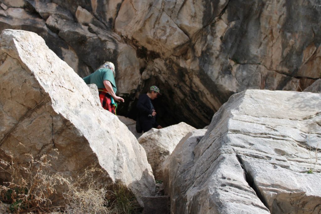
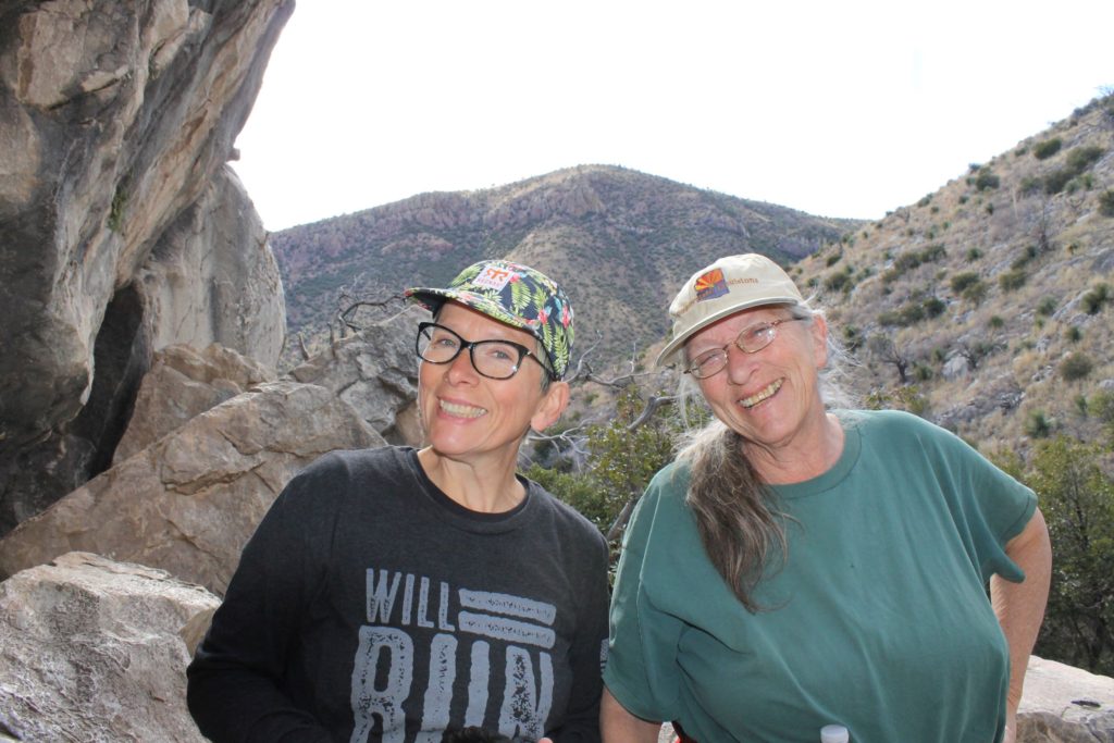
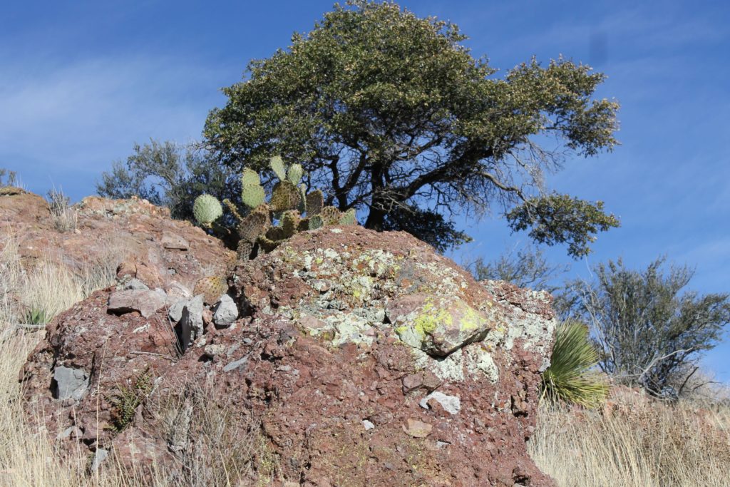
We were looking for a place to get out and get some exercise when we were headed into Sierra Vista, AZ to resupply and passed a road sign for the Coronado National Monument ( https://www.nps.gov/coro/index.htm ) along the way. We decided to check this out after discovering the Huachuca Hiking Trail was actually located on Ft. Huachuca and there were several signs indicating bear activity. We didn’t want to involve the Ft. Huachuca Military Police in our daily exercise. This turned out to be an excellent choice!!
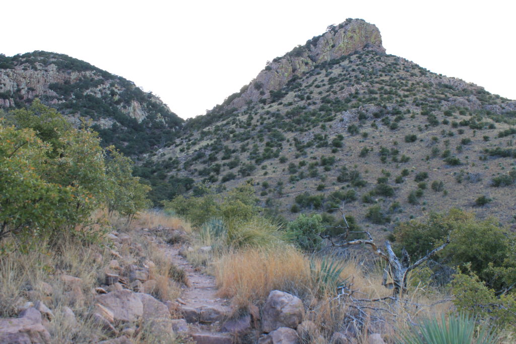
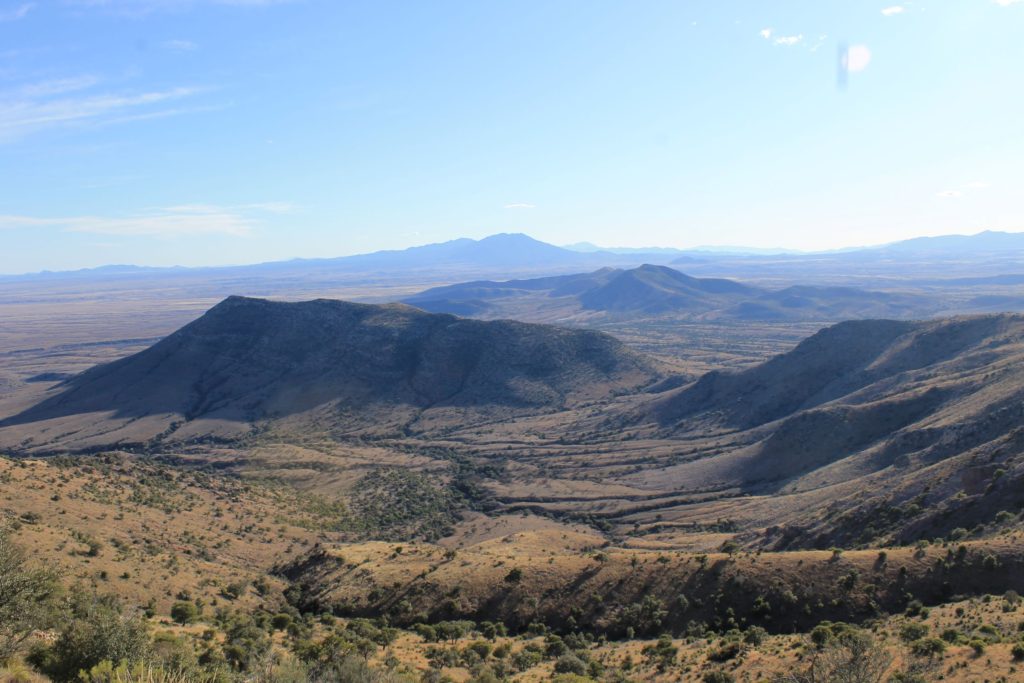
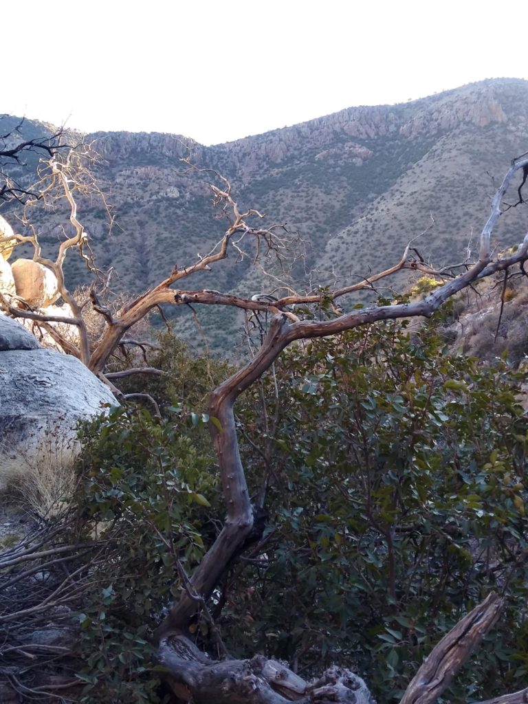
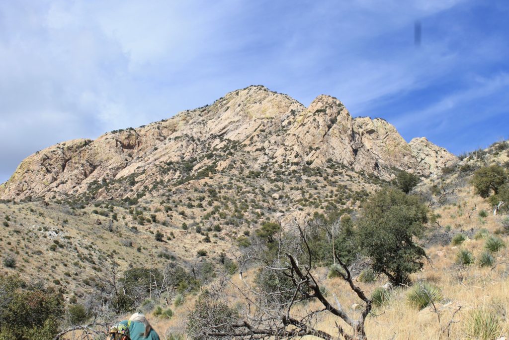
Views from Coronado’s Peak and Montezuma Pass
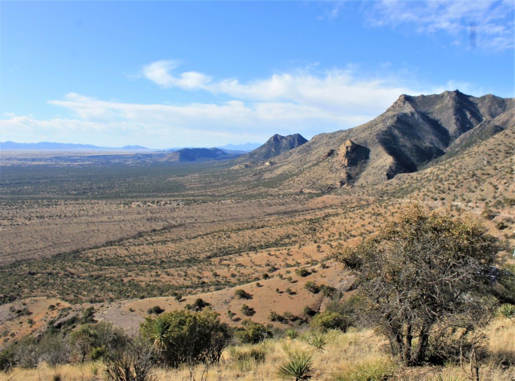
There are several miles of hiking trails at the Coronado National Monument with beautiful views of the Sonoran Desert. The National Park in the south part of Cochise County extends south to the Mexican border and includes the majority of a mountain range. The visitor center explains that the Coronodo Expedition came through this area in search of Quivira, the Seven Cities of Gold. Led by Francisco Vasquez De Coronado, the expedition started in Mexico and went into present day Kansas in 1540 by way of the Montezuma Pass located in this National Monument.
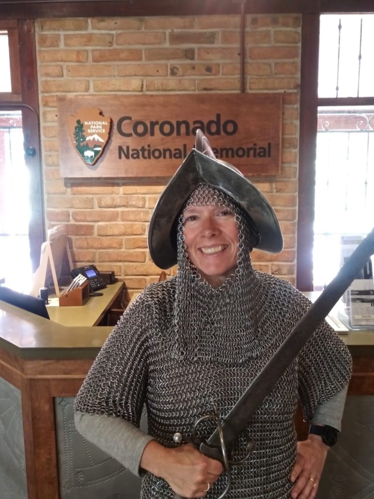
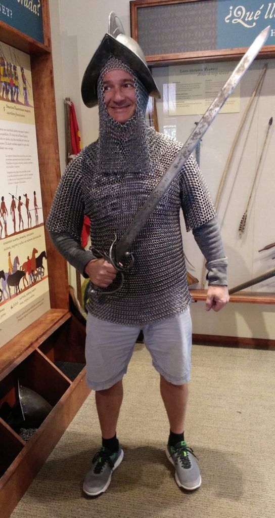
The visitor center provides information about the expedition, and how Spanish culture came to the region through the expedition. It also provides the opportunity to try on some replica Spanish chain mail that a foot soldier would have worn traipsing through these mountains… yes, we tried on the 57 lb garb…
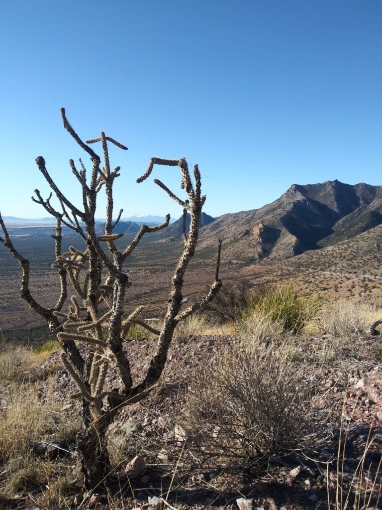
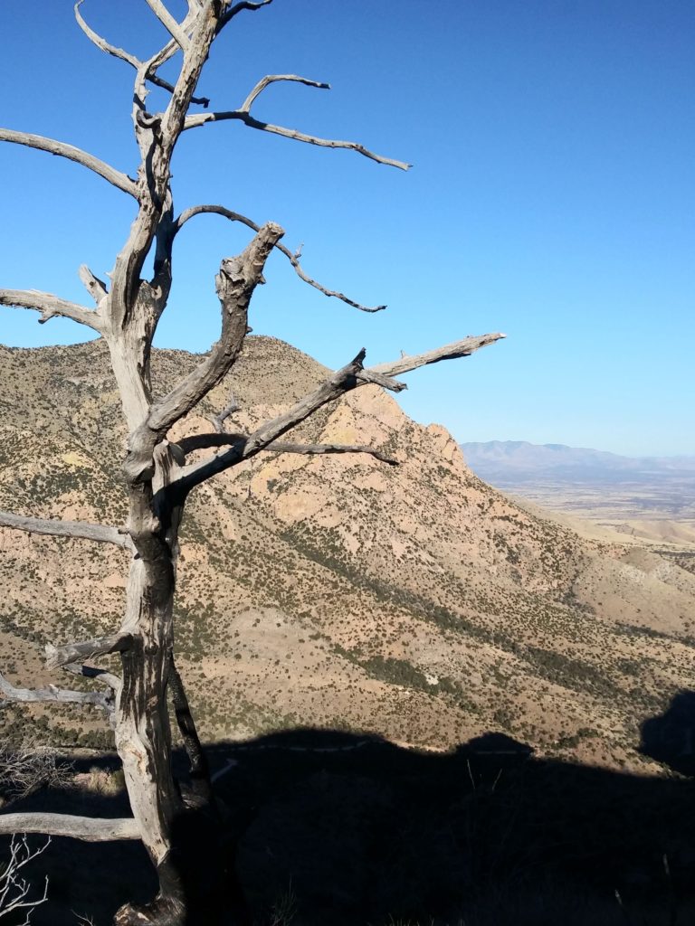
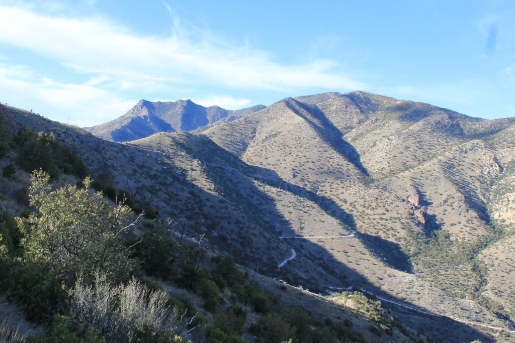
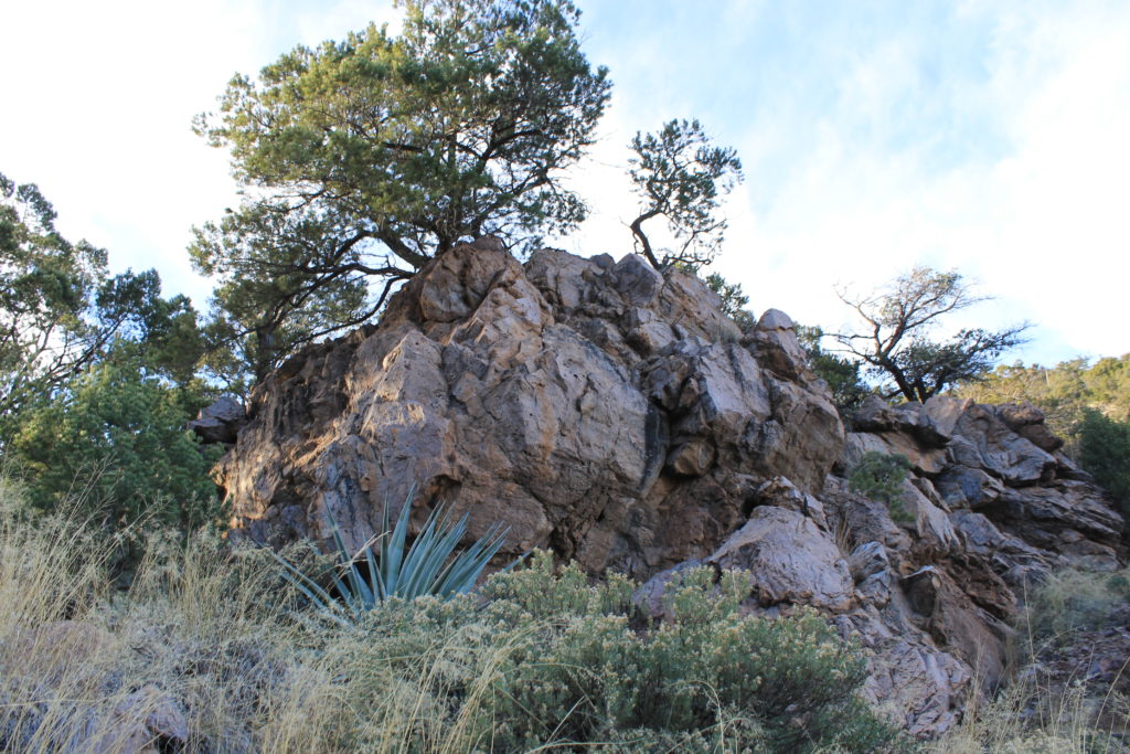
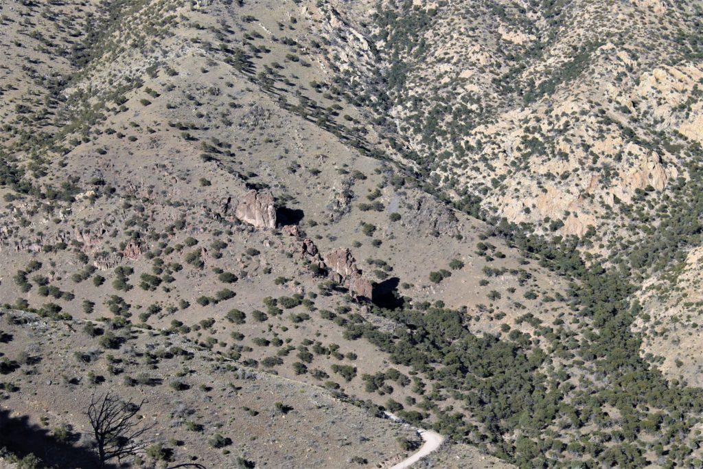
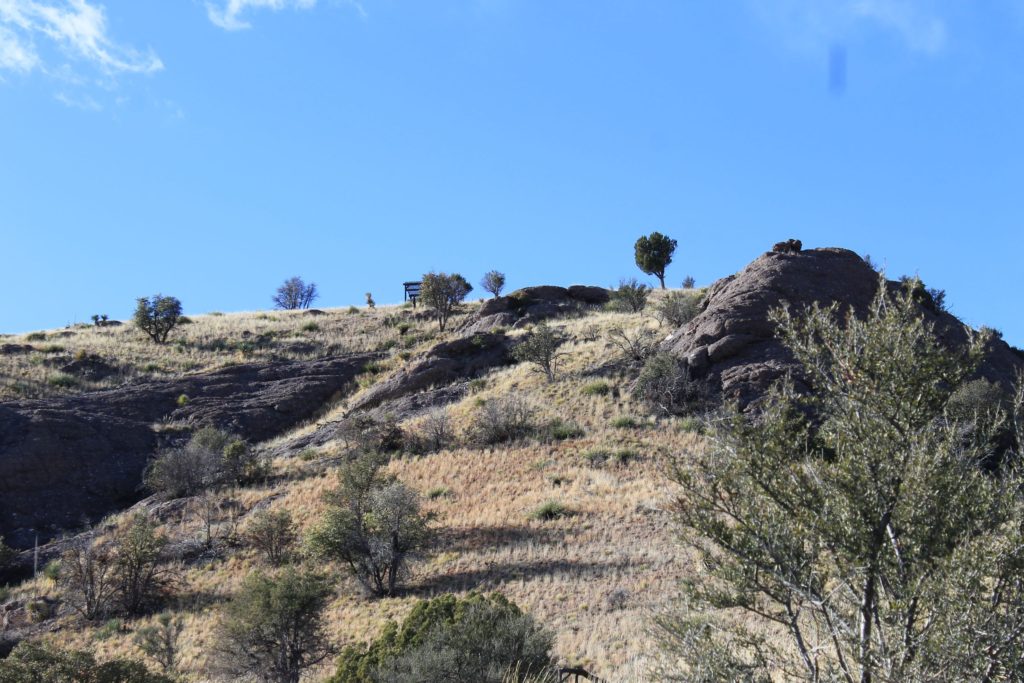
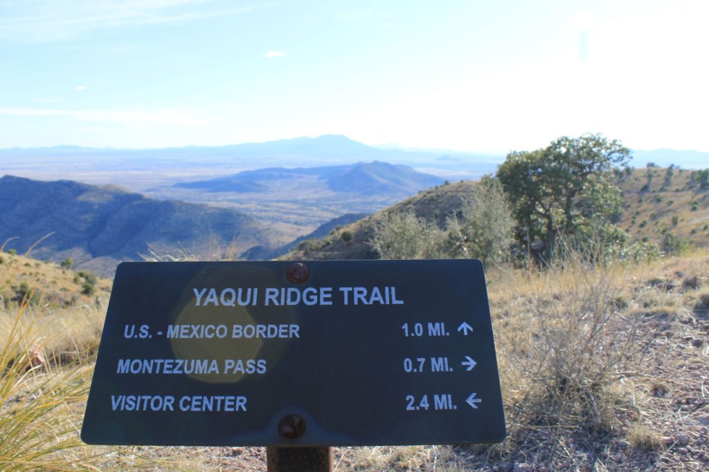
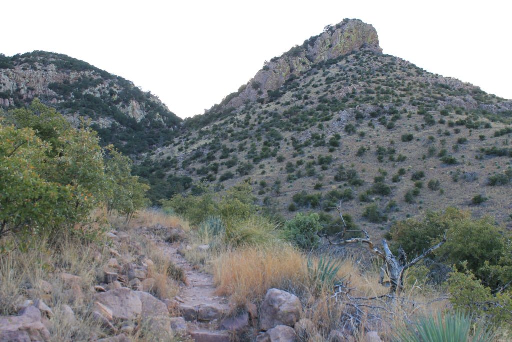
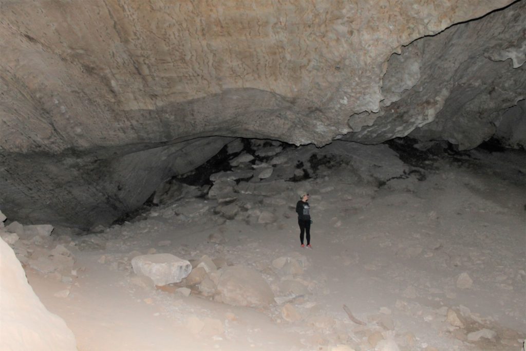
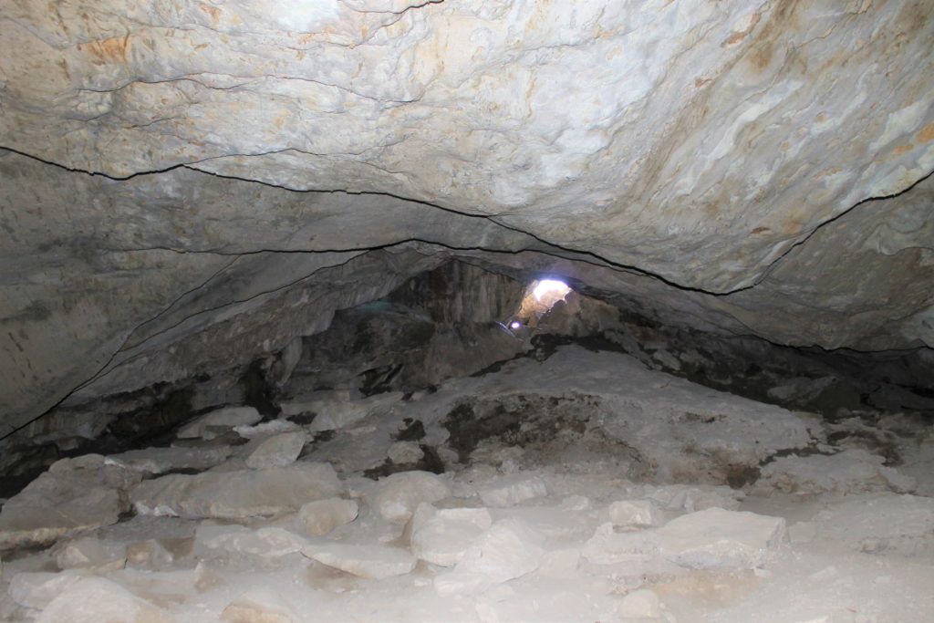
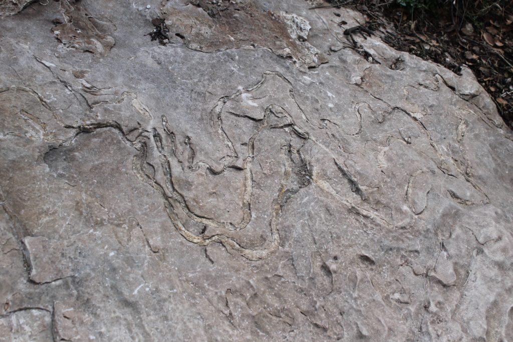
The park has a picnic area as well as several hiking trails, including one that ends at Coronado Overlook, one that ends at a Coronado Cave and another that will take you to the Mexican border. Unfortunately we did not have enough daylight to take that trail….guess we will have to save that one for next time…
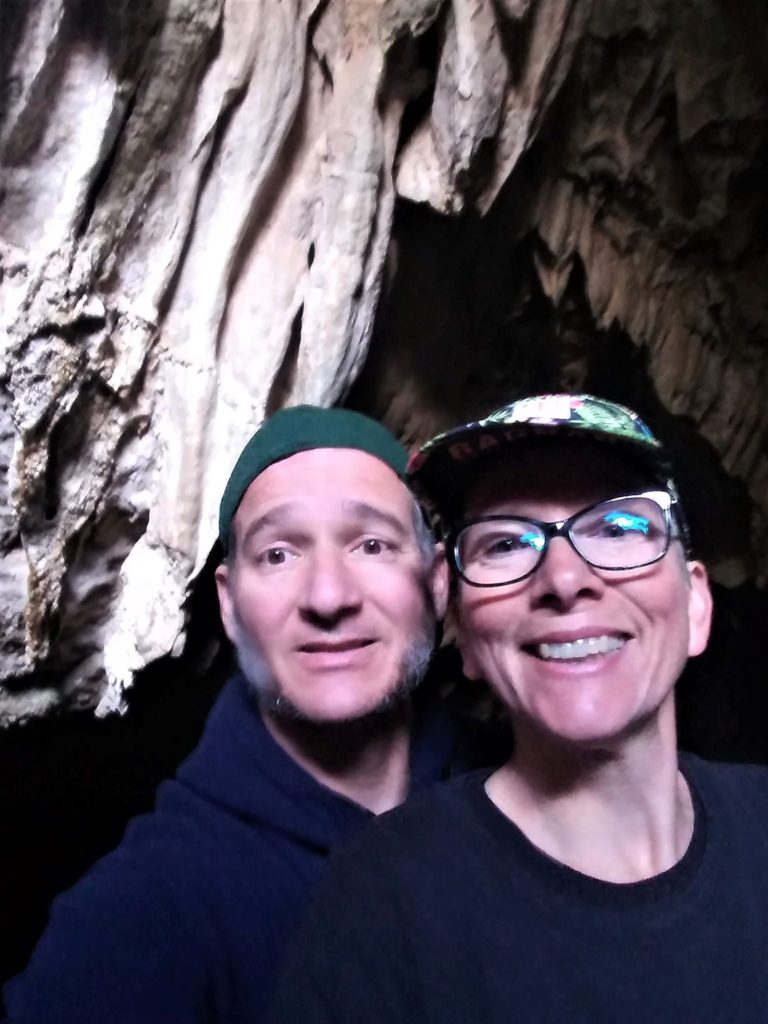
Views from the Coronado Cave Hike
We visited on two separate days, and we experienced the overpass, the cave and the ridge trail. The overlook and the ridge trails were stunning. Unfortunately, our flashlights were not up to the challenge of cutting through the darkness of the cave, so we barely got into the opening before we had to turn around. We would love to revisit this park to explore a little more!
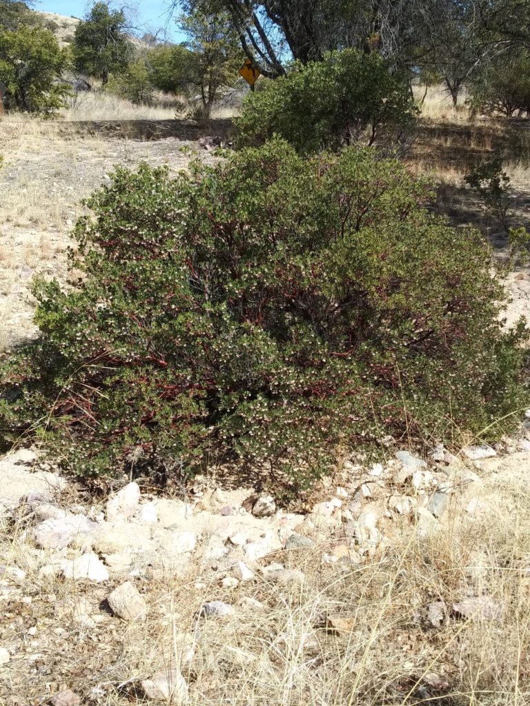
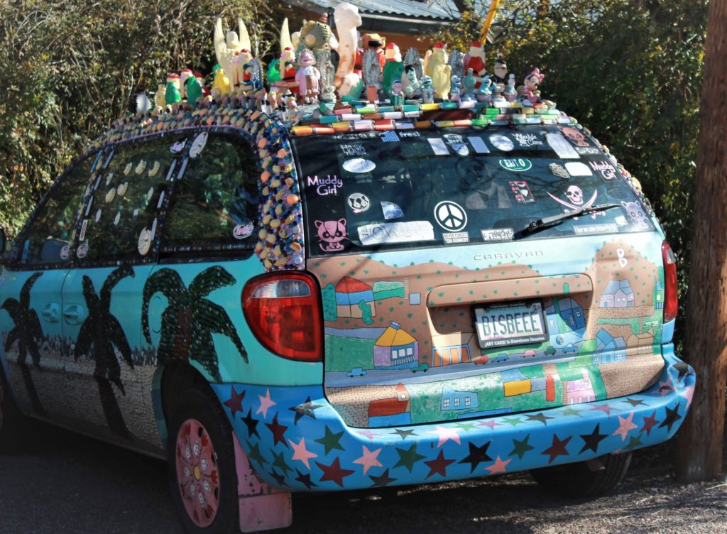
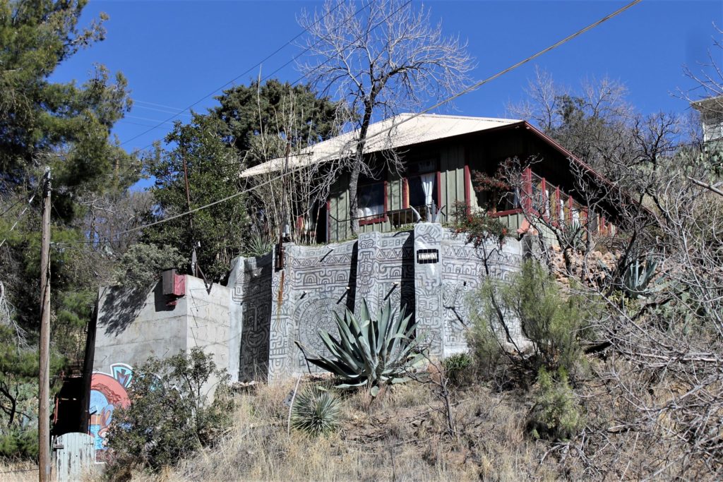
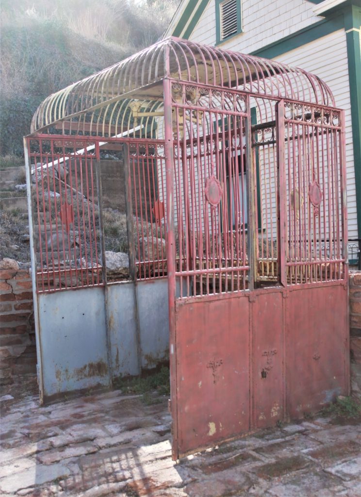
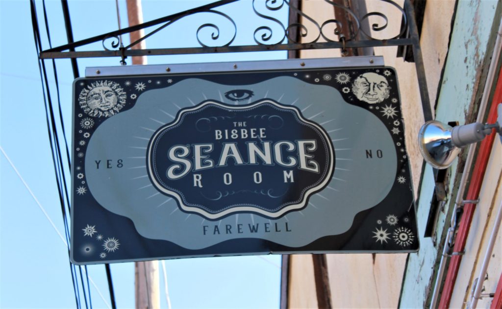
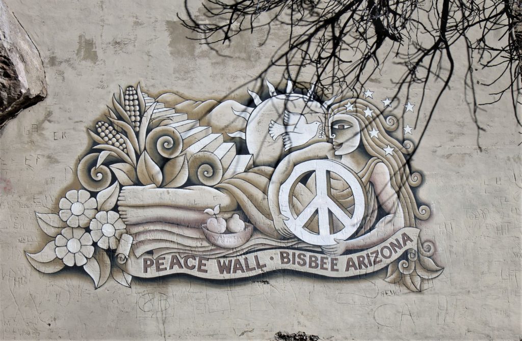
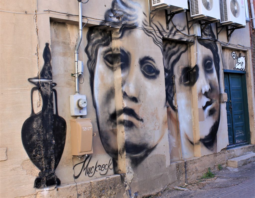
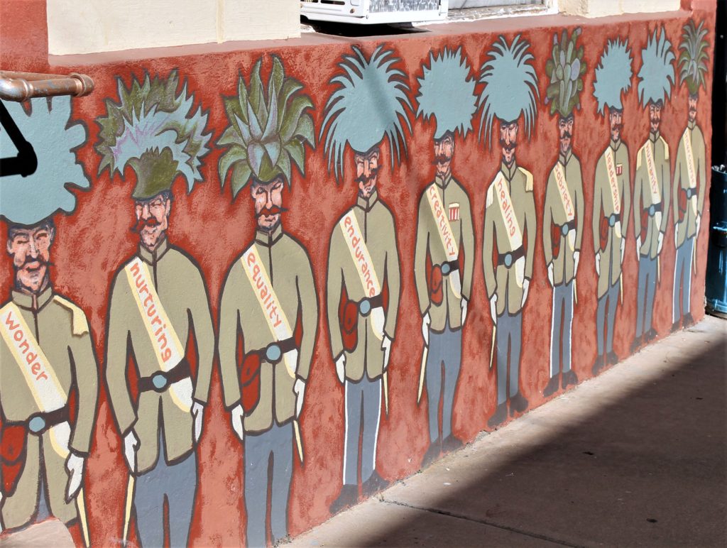
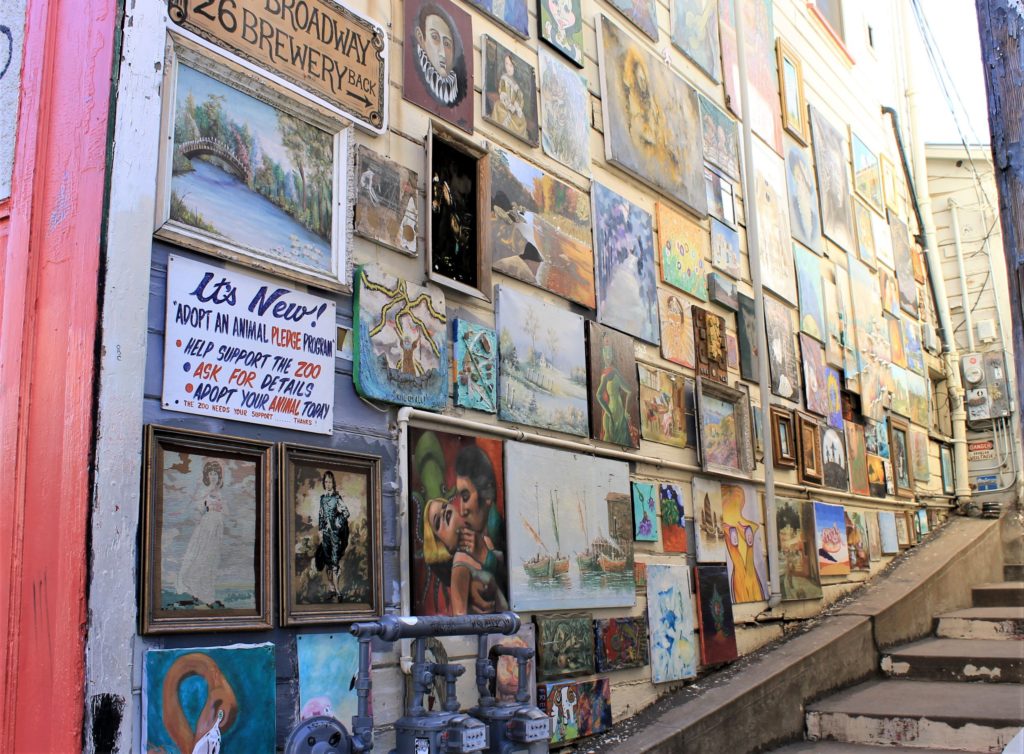
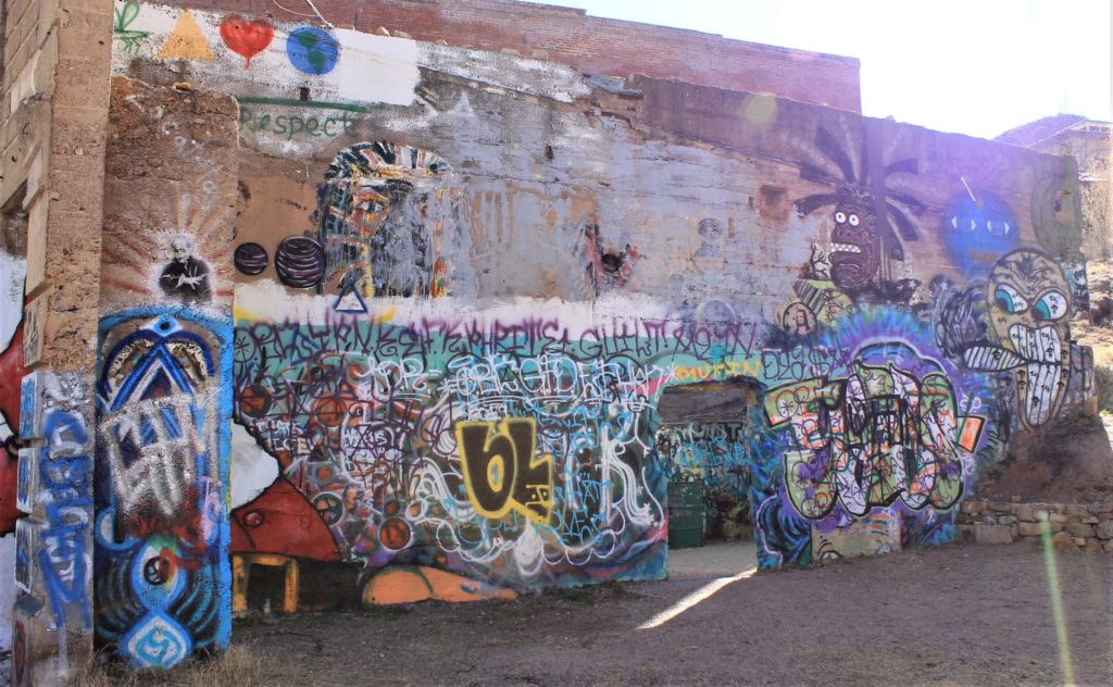
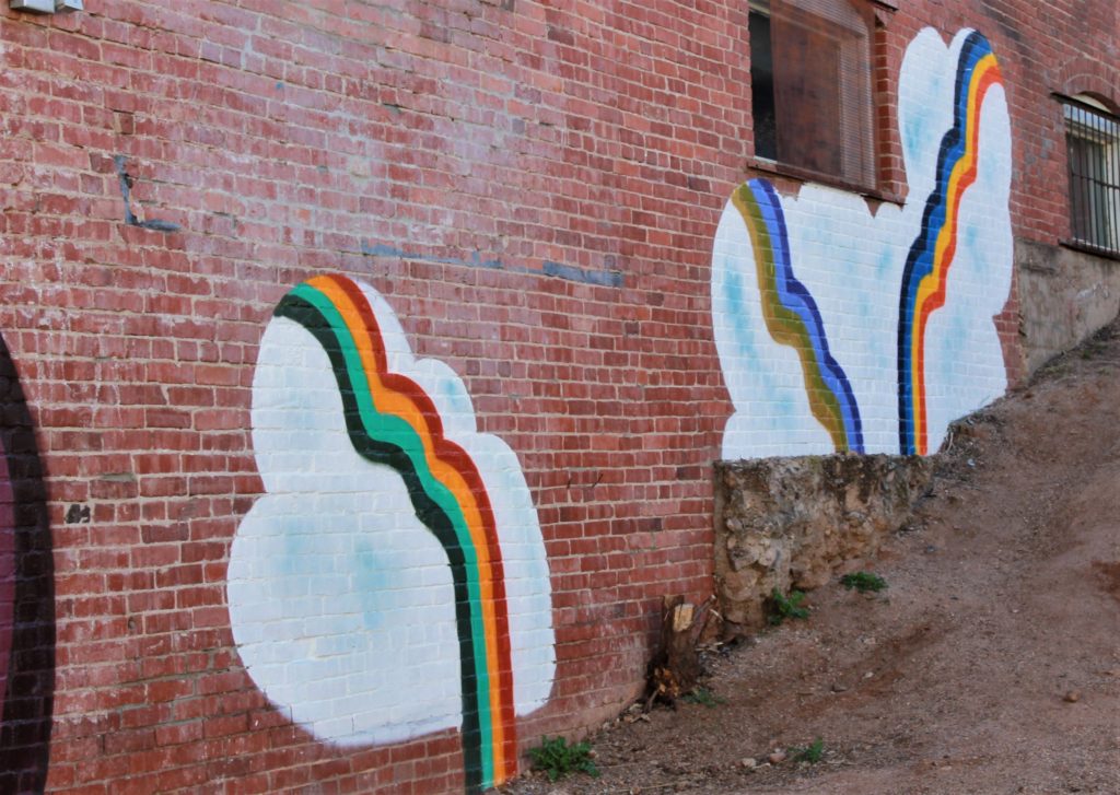
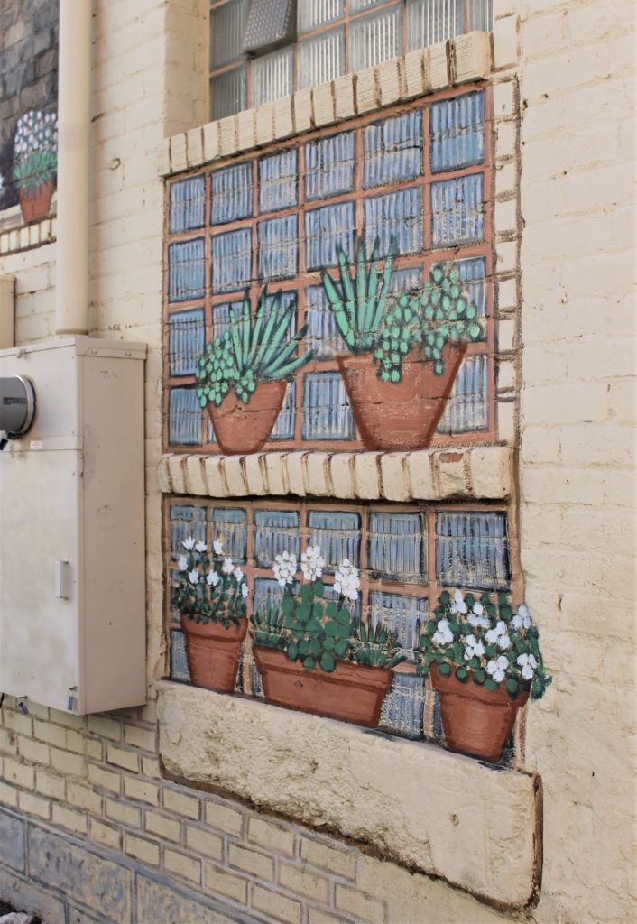
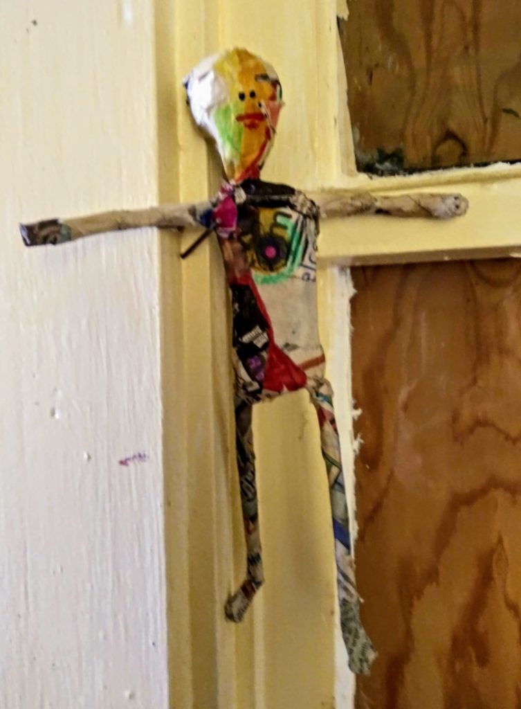
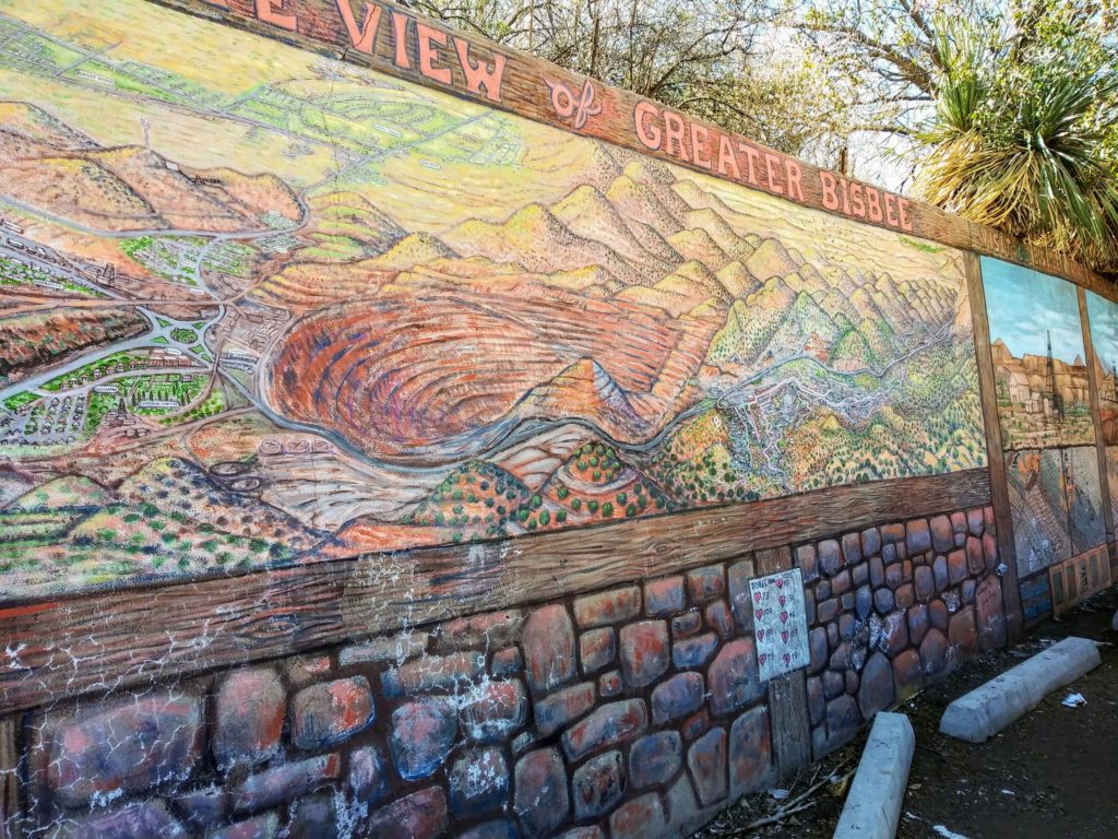
Bisbee, AZ is the county seat for Cochise county and is a really fun little town with tons of quirky character. The large copper mine that operated here for 100 years used to be the main attraction in town. The Queen Mine went dry in 1975, but you can still take a tour of the facility. Although we did not get a great picture, the Lavendar Pit is a really visible reminder of copper glory days gone by ( it is quite literally a GIANT hole in the ground). Now it seems that Bisbee bills serves as more of a tourist destination. Incidentally, Bisbee is only about half an hour from the famed town of Tombstone, AZ (home of the OK Corral shootout).
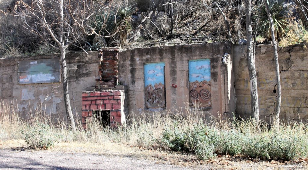
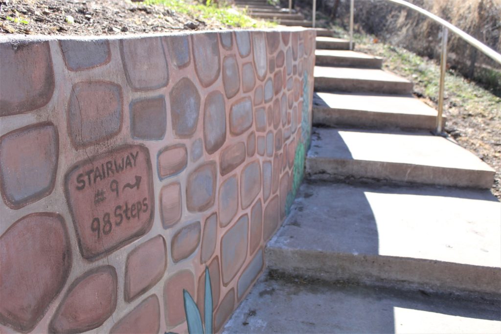
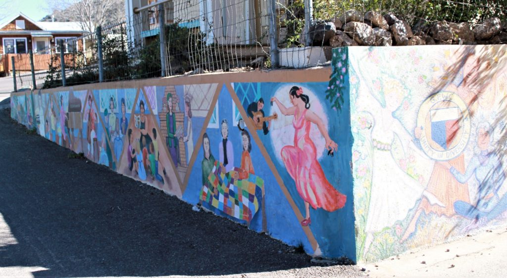
We spent a fun afternoon exploring Bisbee . Diane (Donna’s sister) generously served as tour guide for the day, and we learned a ton about this historic Arizona town. For example, there is an annual Stair Climb event (each October) that entails climbing over 1000 stairs. We did climb a few stairs….but nowhere near the full 1000!
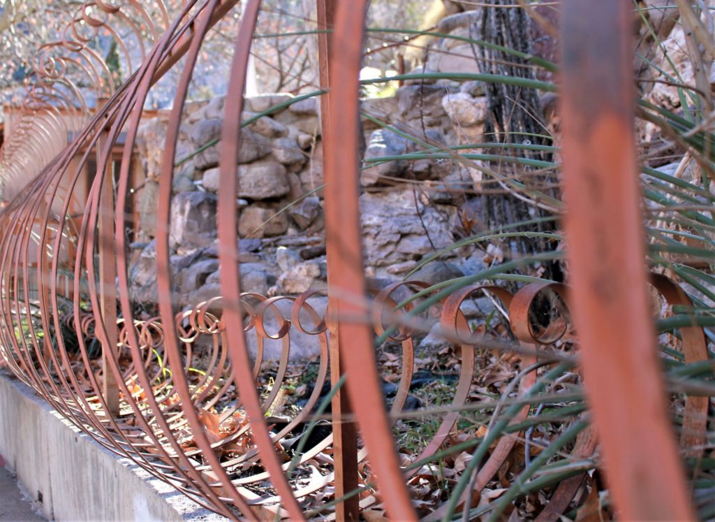
“Iron Mike” is a statue in town that honors the “virile” copper miners, and just on example of the captivating scenery available. Everywhere we turned there were amazing examples of the quirky, artistic nature of this fun town. We cannot wait to visit again!
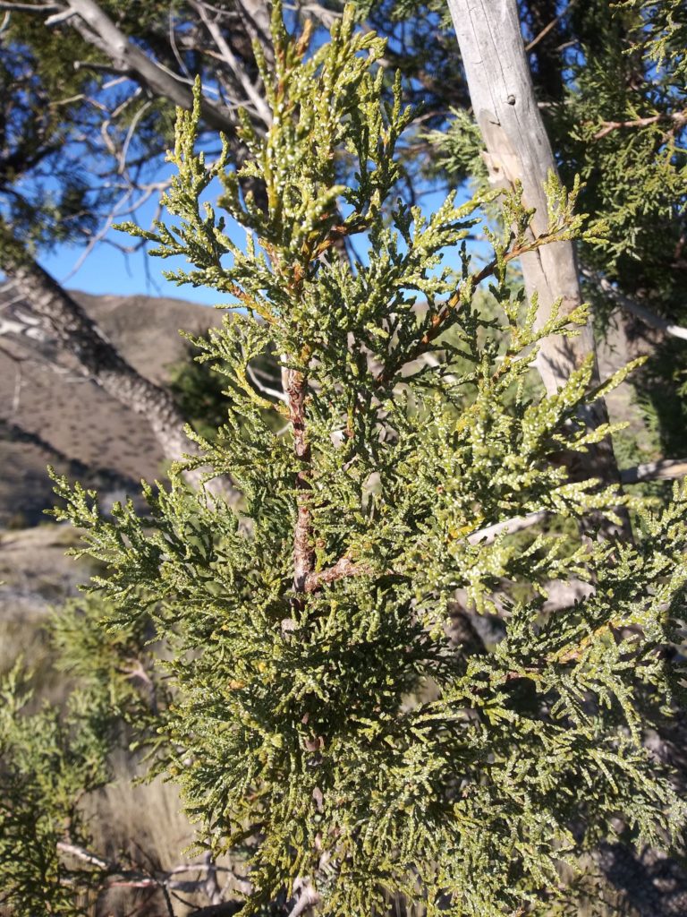
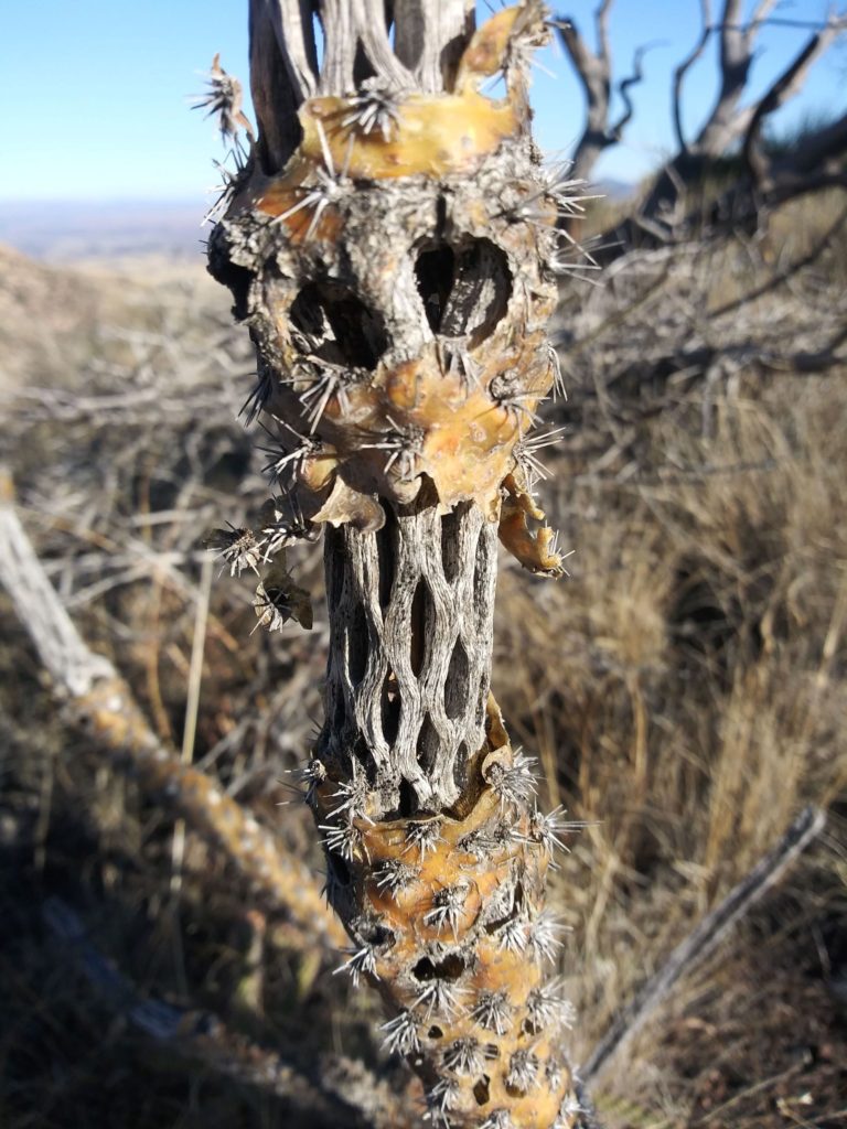
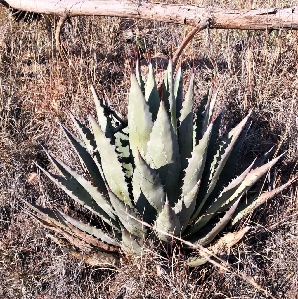
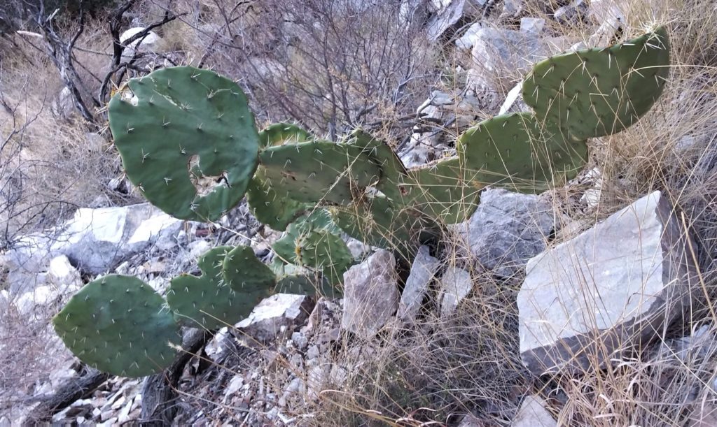
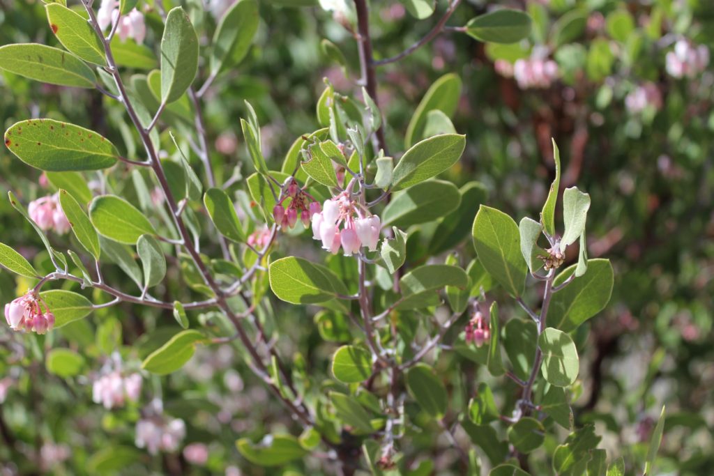
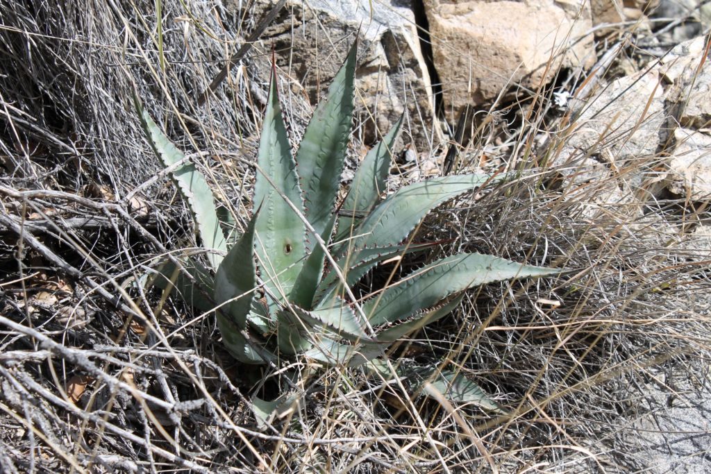
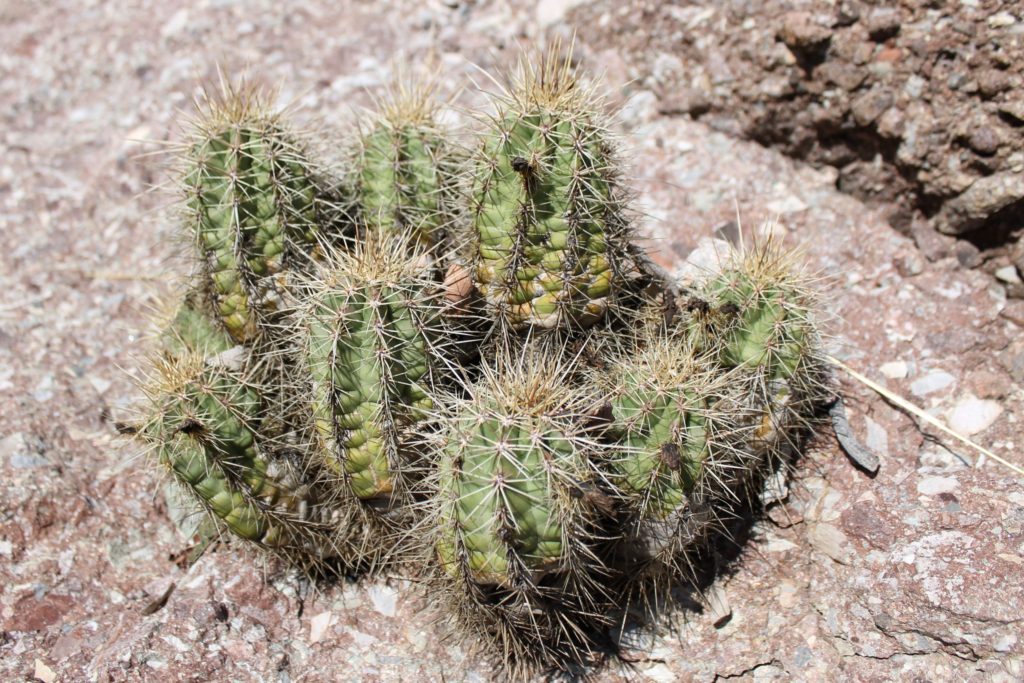
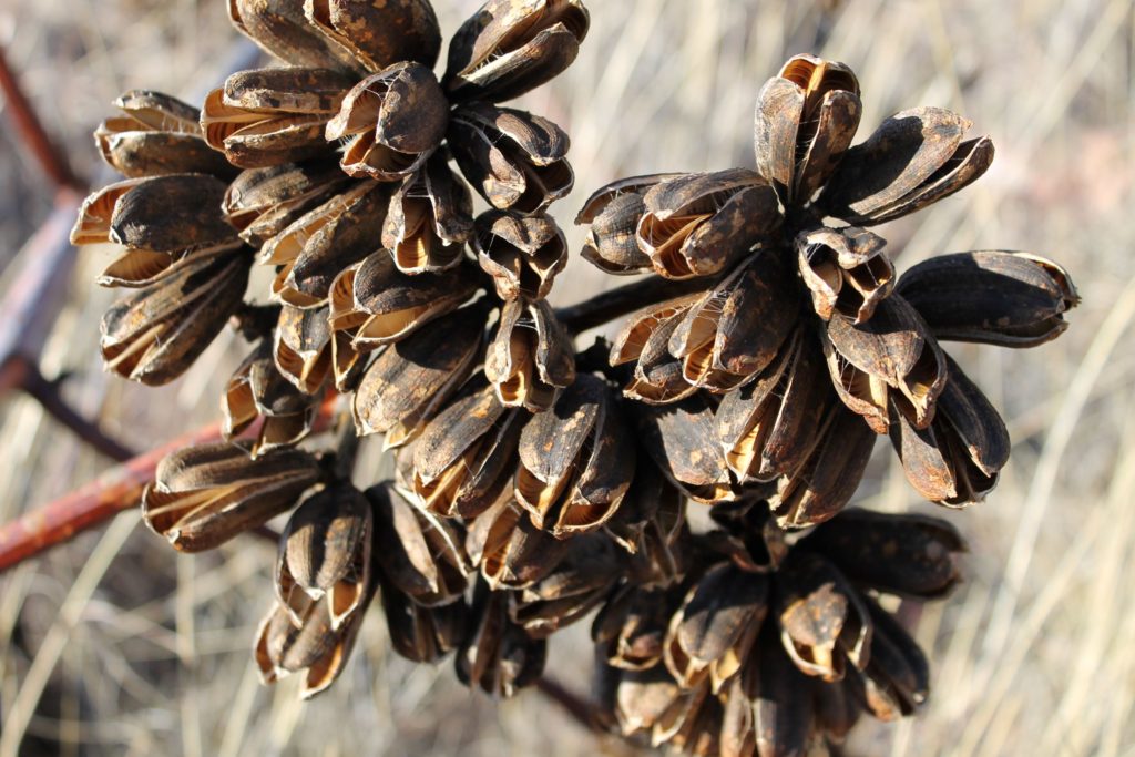
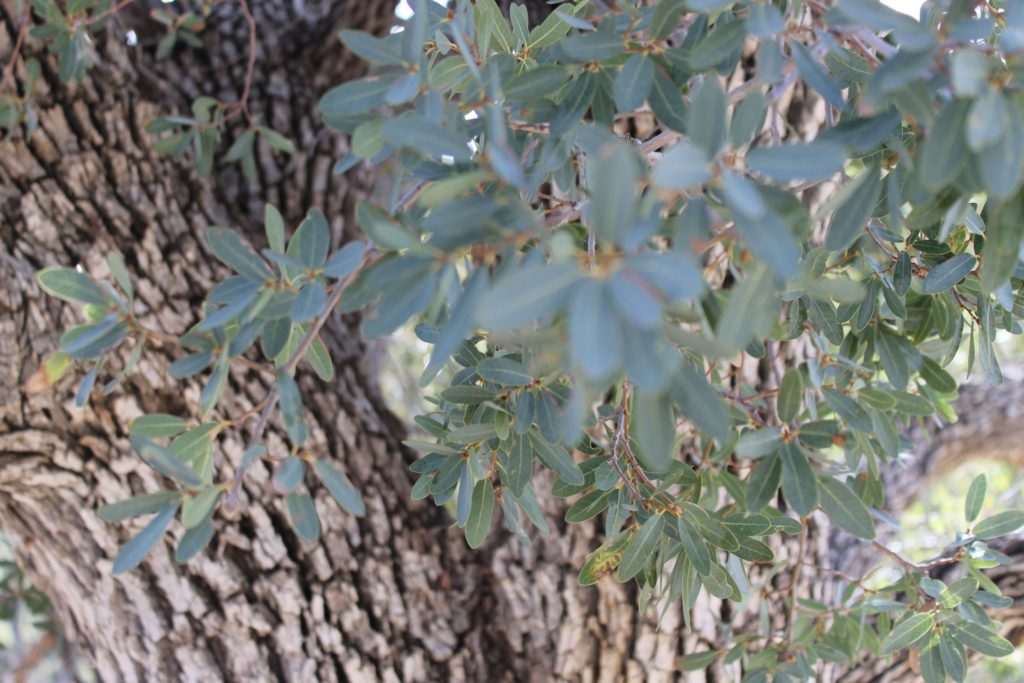
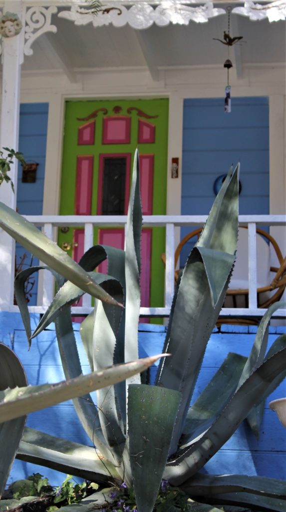
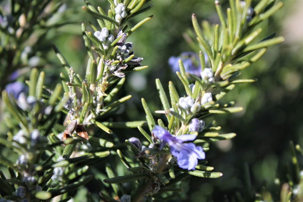
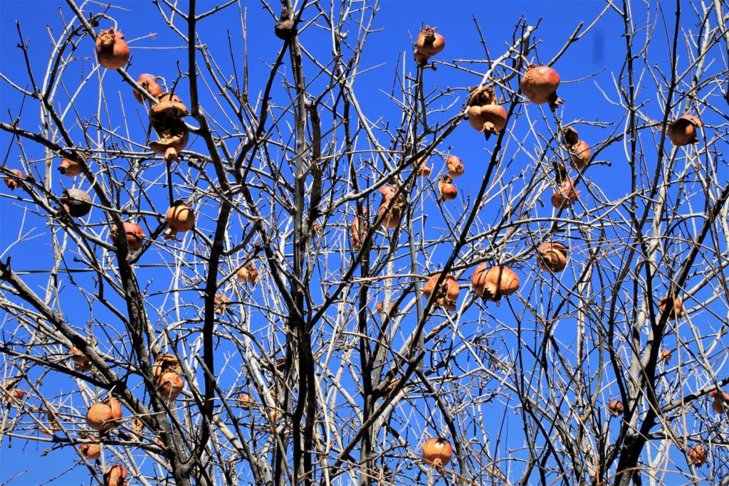
Among the many plants we saw while roaming around town was a pomegranate tree, which was new to both of us! We also really liked the purple fruit of the prickly pear cactus and the amazing size of the century plants.
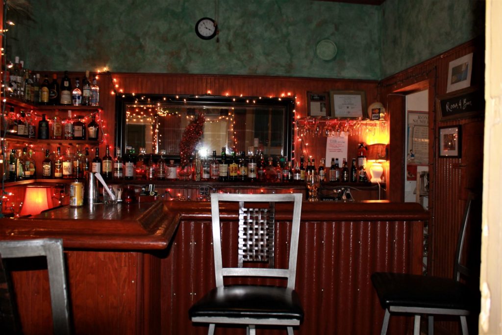
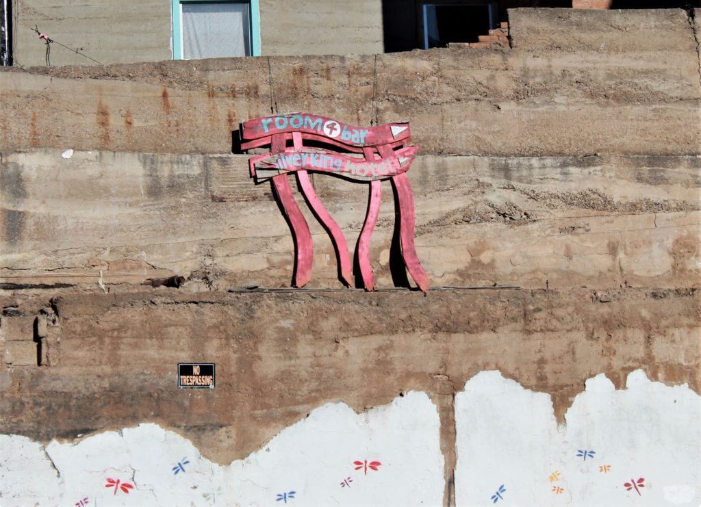
We also visited Arizona’s smallest bar (room for only 4 patrons….located in what used to be Room 4 in the Silver King hotel). Friendly service…delicious drinks. We will be back to visit the “Room 4 Bar” the next time we are in town!
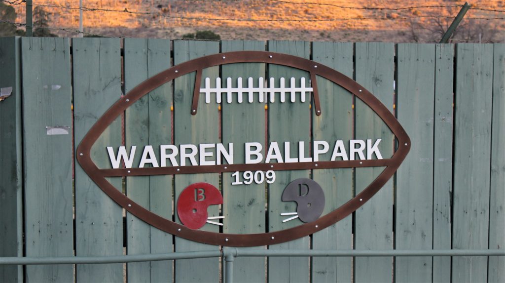
Finally, we took a few minutes to visit Warren Ballpark. Built in 1909 it is the oldest multi sport field in the United States.
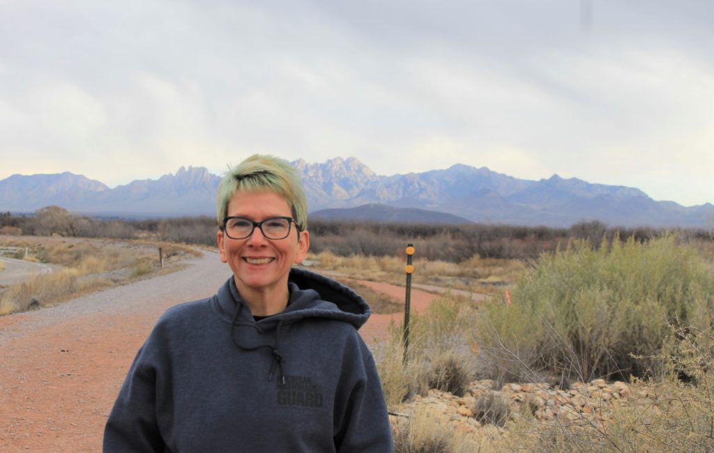
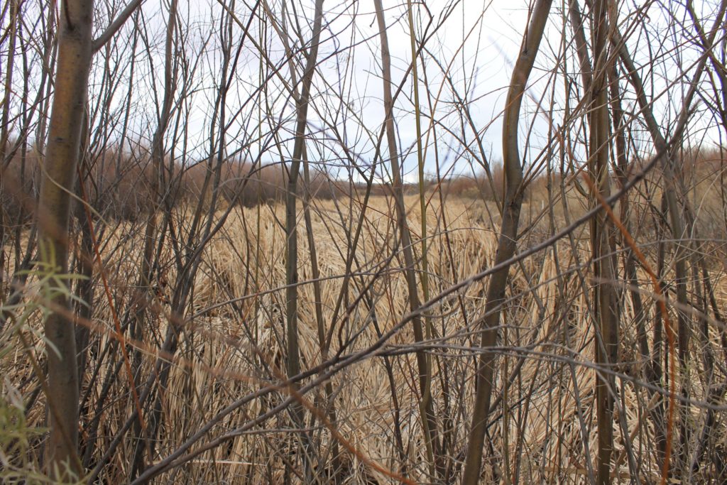
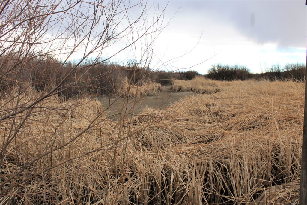
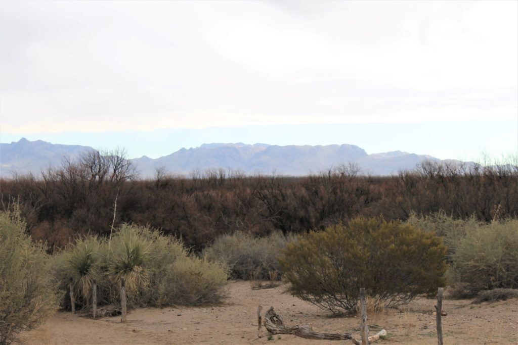
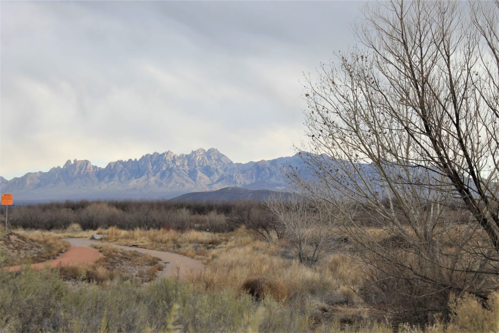
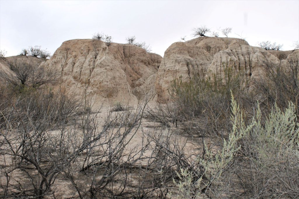
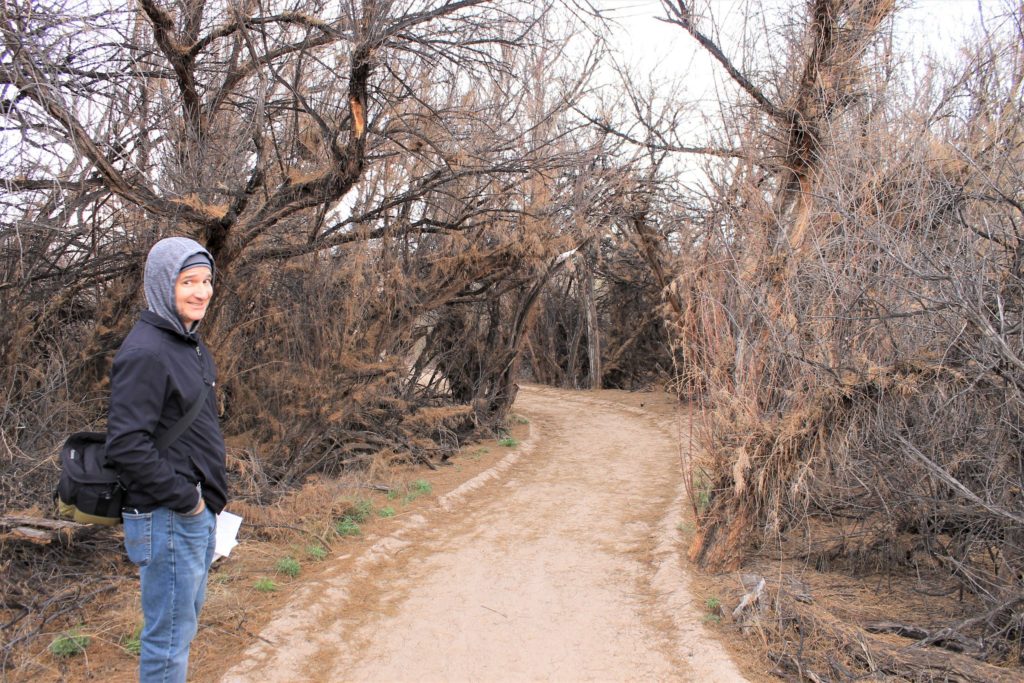
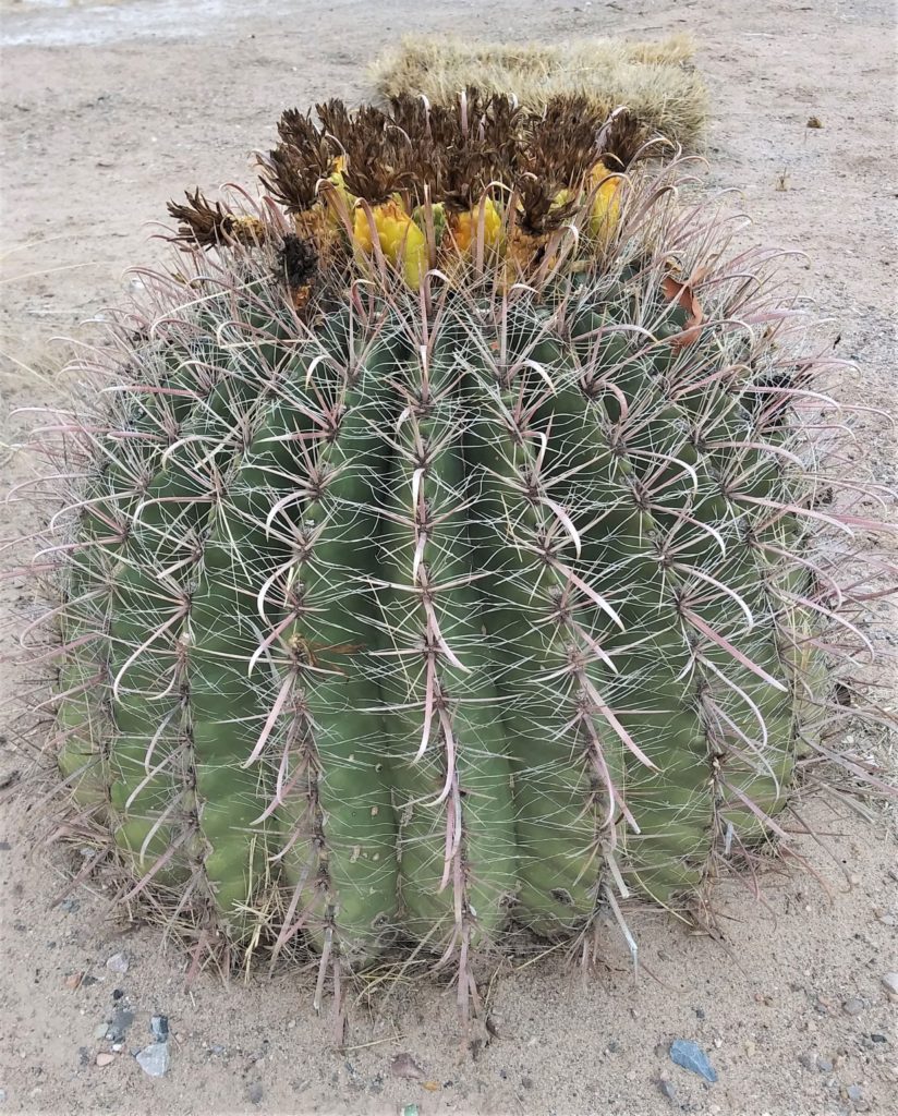
We have found that driving four to six hours in a day is pretty reasonable if you stop every couple hours to get out and walk around. And we like to frequent State and National Parks if we can. That is how we found Messilla State Park, in Mesilla, NM.
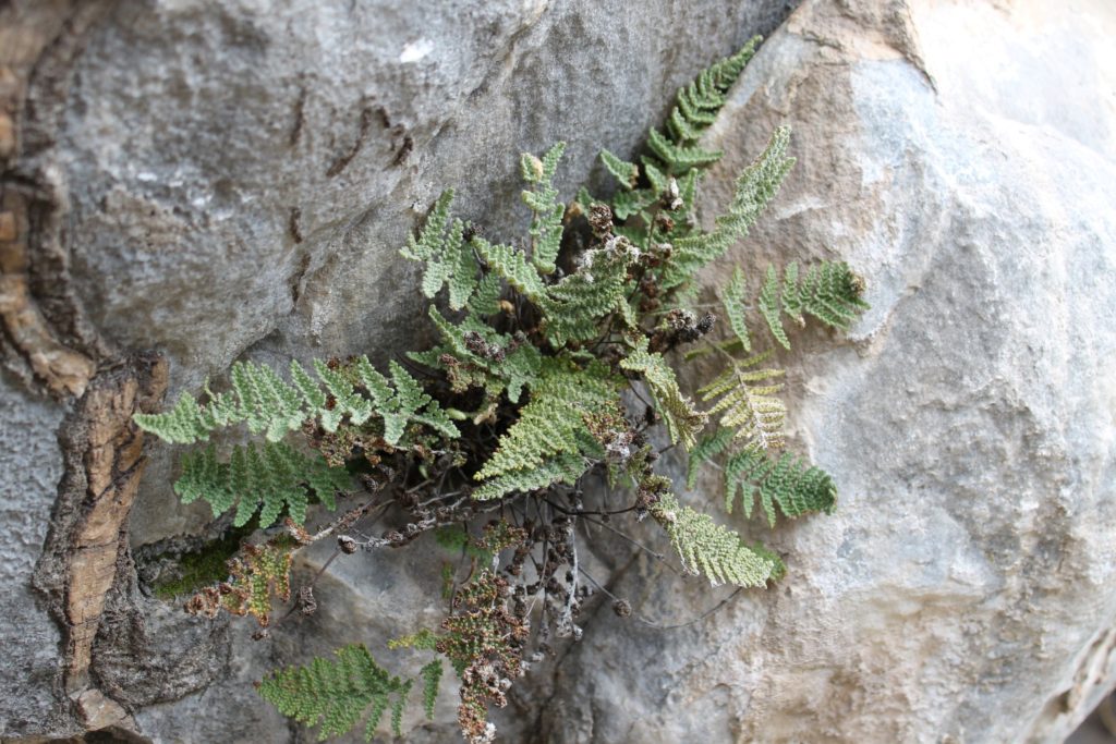
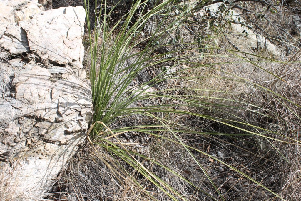
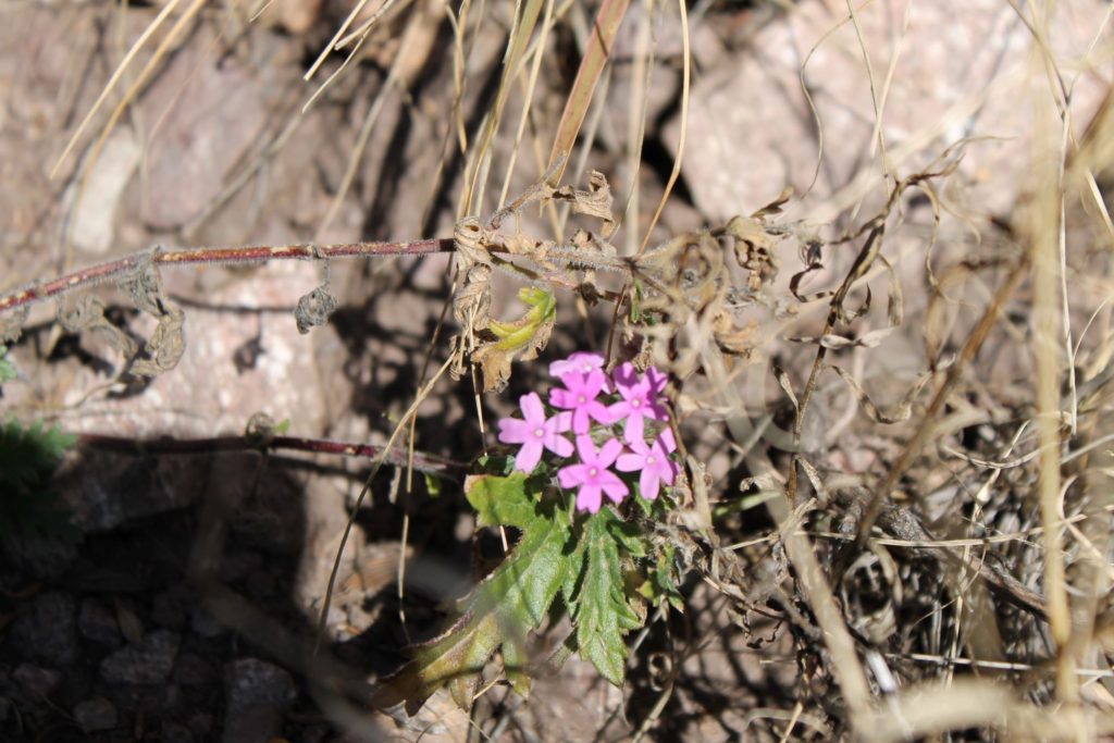
The Park had a couple of hiking trails and we took advantage of one. It took us through the landscape by the Rio Grande River. The nature trails are self-guided and provide examples of regional flora.
Trail views at Mesilla State Park
The people at the visitor center were very friendly. One ranger, in particular, was very eager to share historical knowledge with us. He told us about much of the Civil War fighting that happened in the area with rich detail of the feeling of those involved and not involved. And when he found out we were headed further west, he shared more recent history about Poncho Villa, and the US reaction.
According to the ranger GEN Pershing was litigating the fighting against Poncho Villa, during the Mexican Revolution. He also informed us that it was one of the first military actions where motorized vehicles were used. He also quizzed us about the three prominent WWII generals who ‘cut their teeth’ out west. Two fought with Pershing as young lieutenants and one of the two actually crossed into Mexico. The third was known for his involvement in the Veracruz operation. Between Donna and I we got all three correct. Bradley, Patton, and MacArthur
It was a very interesting stop, and we enjoyed the conversation and the scenery. The Ranger suggested we make it to Poncho Villa State Park. We’ll have to check that out next time.
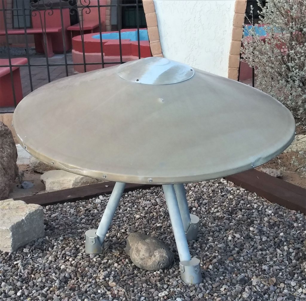
….and what stop in New Mexico would be complete without a UFO??? We found this one at the New Mexico Welcome Center…and it made us laugh!
After leaving Brownsville, Google Maps didn’t provide many options for RV parks in Western Texas. We did find the Kerrville KOA Journey, which turned out to be a very nice campground just on the outskirts of Kerrville, TX. The campground was very clean and neat. We had reserved one spot, but the owner helpfully suggested a different one a bit further from the main road, and it worked out nicely. The camp store was open until 8PM, and it had a surprisingly good selection of grocery and convenience store items. There was also a laundromat that was clean and tidy. Plenty of washers and driers to support the park. Definitely a good place to stay if you find yourself west of San Antonio.
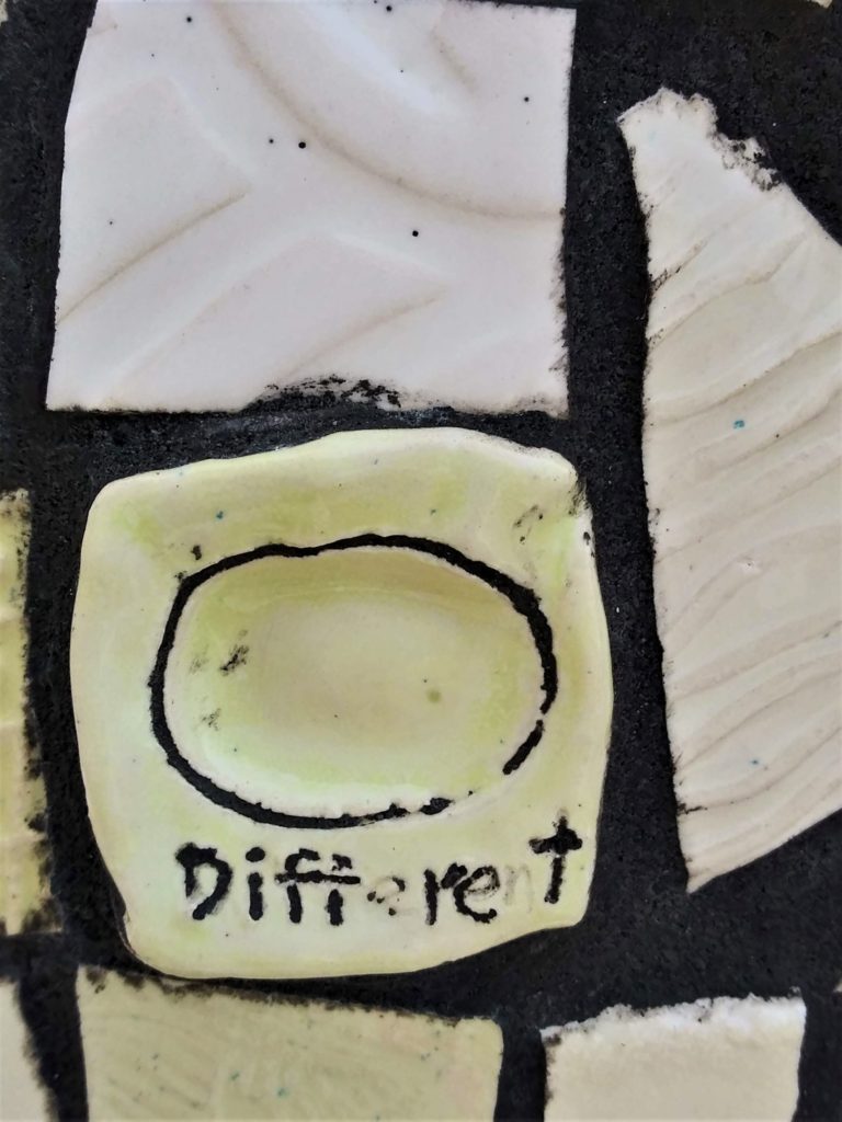
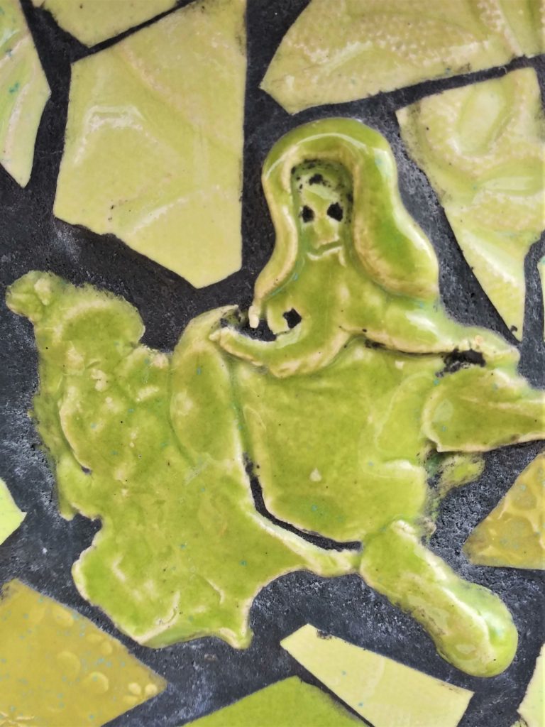
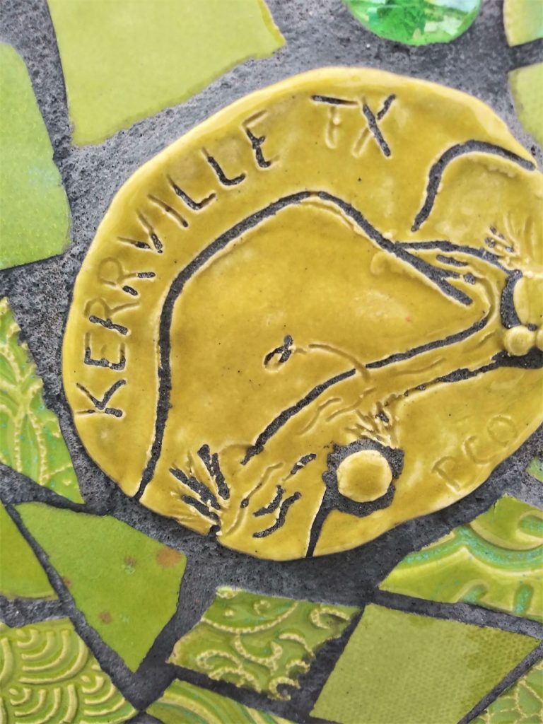
Artwork in Louise Hays Park
Since we stayed a couple nights, we took time to explore Kerrville a bit. And the major attraction we found was the Louise Hays Park in downtown Kerrville ( https://www.kerrvilletx.gov/829/Louise-Hays-Park ). Robert S. Hays donated the 35 acres along the Guadeloupe River to the city for the park on two conditions: it be named for his wife, and it be built in a single day. The city and 2000 workers met his conditions. The scenic and serene park includes Tranquility Island in the middle of the Guadeloupe. There are plenty of amenities, including picnic areas, playgrounds, and an amphitheater, as well as over seven miles of trails.
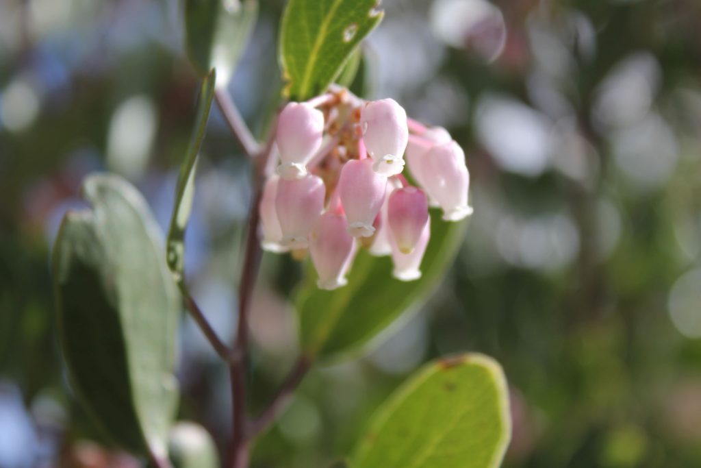
Berries….
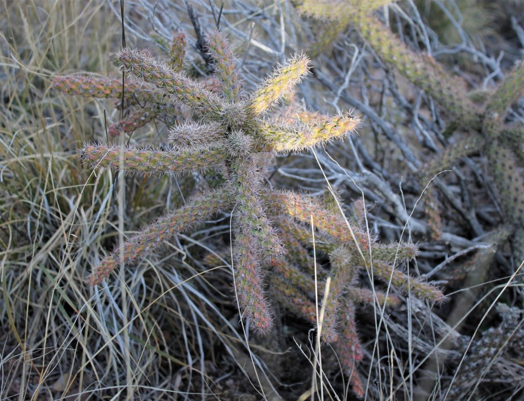
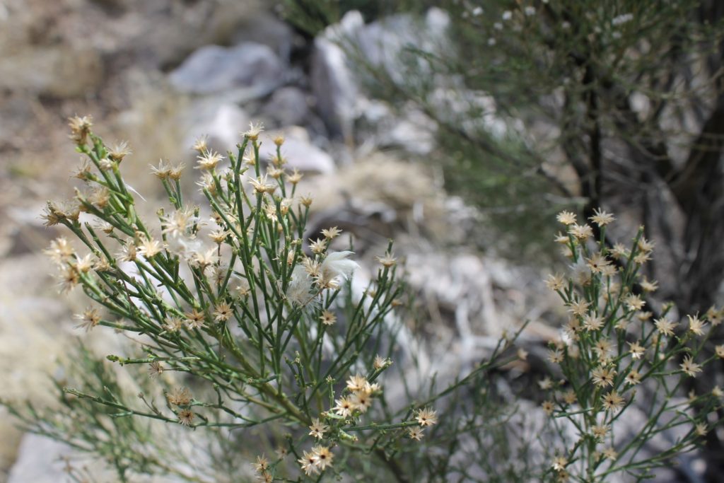
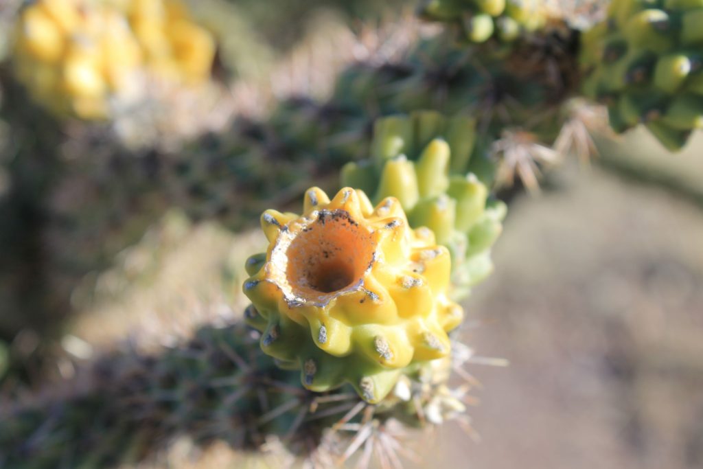
Cactus
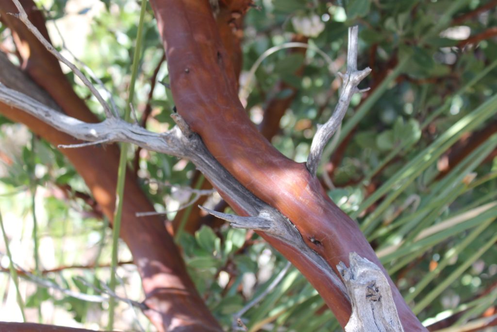
Cypress Bark
Driftwood in the Guadalupe
GIANT Cypress
Cypress
Cypress
Cypress
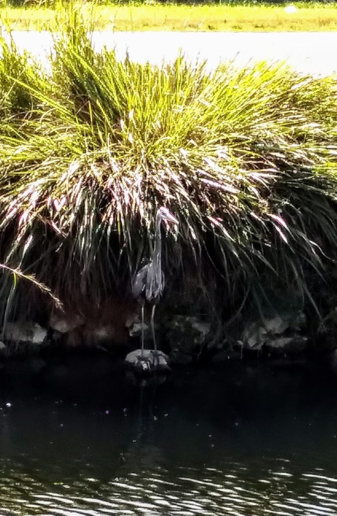
Guadalupe River
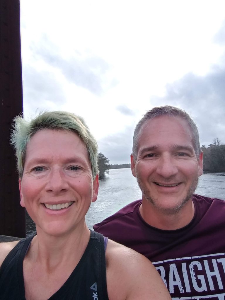
Post-run Selfie
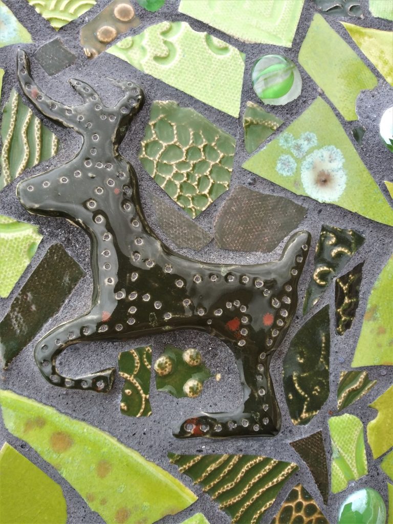
Fearless Deer
Kevin on the riverbank
Stone People
Falls along the Guadalupe
Falls on the Guadalupe…
Wildlife is plentiful throughout the park (a herd of deer accompanied us on our first visit), and they were less than concerned with our presence. The other prominent creatures were a number of water fowl. Mallards, geese, and other birds were floating down the river, or roosting in the massive cypress trees.
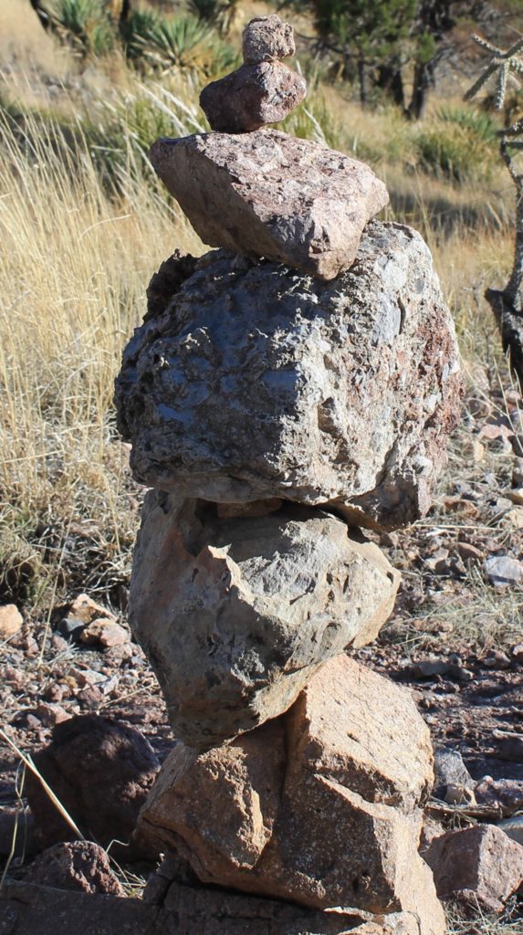
An old dam creates a nice area and small water fall in the river. We saw several people with young ones fishing along the banks when we were out for a jog in the park. Further away from the city center, we saw lots of stone cairns and stone people. Not sure exactly what they are, but they were very interesting.
The park was very nice, and it is apparently the venue for the city’s Independence Day celebrations. It is definitely a park that the city and Robert and Louise Hays should be proud of!
While we addressed a LOT of maintenance items (and by “we” I mean Kevin and Chris) during our stop in Old Town….we also managed to visit, play cards and do a little exploring. Well…it was mostly Martha and I that explored… (Martha is my sister, for those of you who don’t know my entire family). Oh – I should probably also mention that Old Town is located in North/Central Florida…not terribly far from Gainesville.
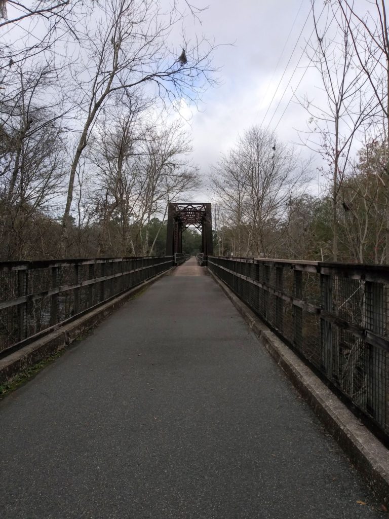
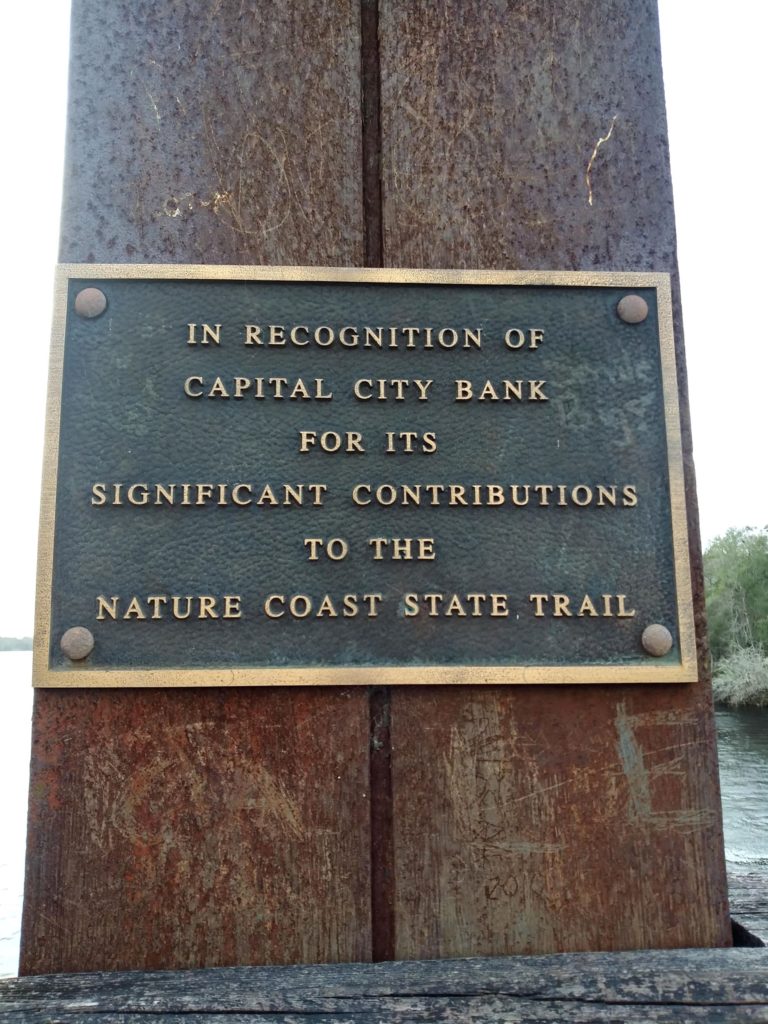
Kevin and I took advantage of a nearby trail that crossed the Suwanee River for our morning runs (Nature Coast State Trail). It was really, really nice to have a convenient place for exercise that also offered some great scenery.
Stopping for a selfie (that’s the Suwanee River in the background).Footbridge over the Suwanee River near Old Town, FloridaNature Coast State Trail….a very cool resource!!!
Martha and I visited a cool quilt museum/shop, and a couple of fresh water springs located pretty close to Old Town: Poe Springs and Hart Springs. I had not realized there are SO MANY springs in Florida. We will definitely have to visit more of them next time. Both springs had awesome trails that offered plenty of photo opportunities (and hey, I rarely turn down a photo opportunity!). I was really fascinated with all the bald cypress…which you can clearly see by all the photos I took!! The bald cypress, along with the Spanish Moss hanging everywhere out of live oak trees gave the landscape an amazing otherworldly appearance. Hart Springs also boasts plenty of camping sites and kayak rentals; it looks very nice with many recent renovations and updates. Definitely a place worth checking out for camping with the RV (or rustic camping, if that’s your thing).
Selfie time with Martha!
Poe Springs
Hart Springs
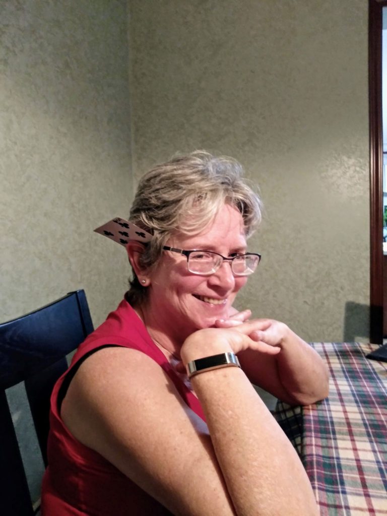
We also had a blast enjoying a little wine & cherry brandy while playing several rounds of euchre with Martha & Chris. Speed (their great dane) is still not sure he likes us; we kept telling him he was missing out on some amazing belly rubs….but he was not buying it. Maybe next time….
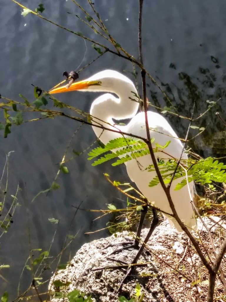
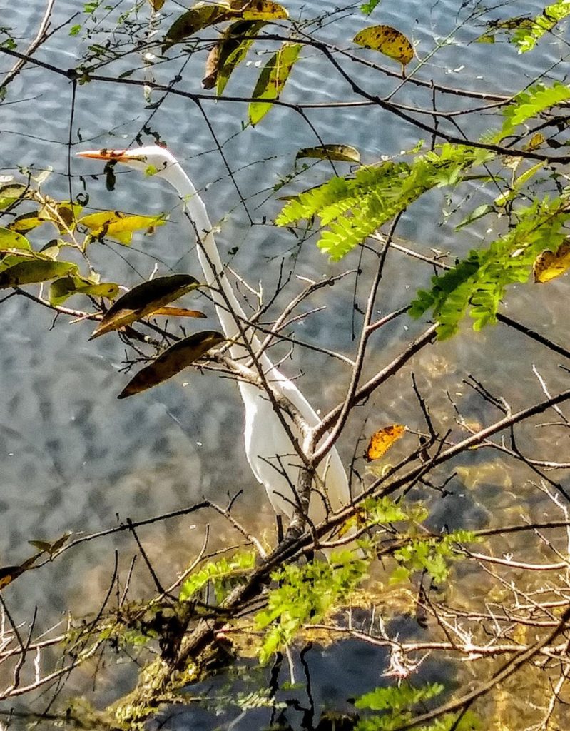
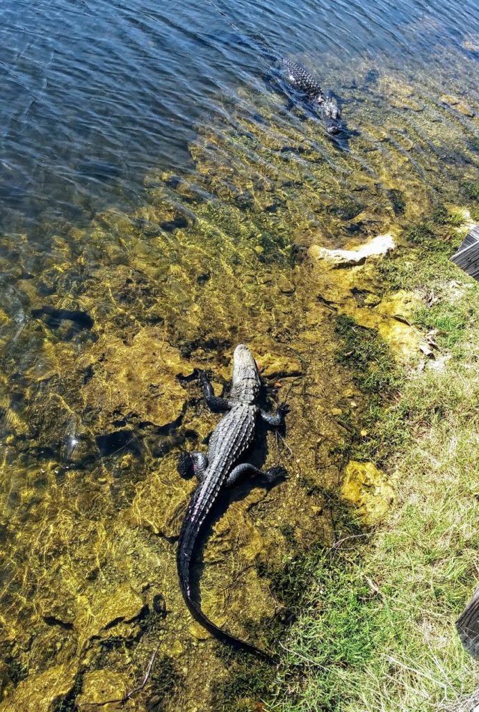
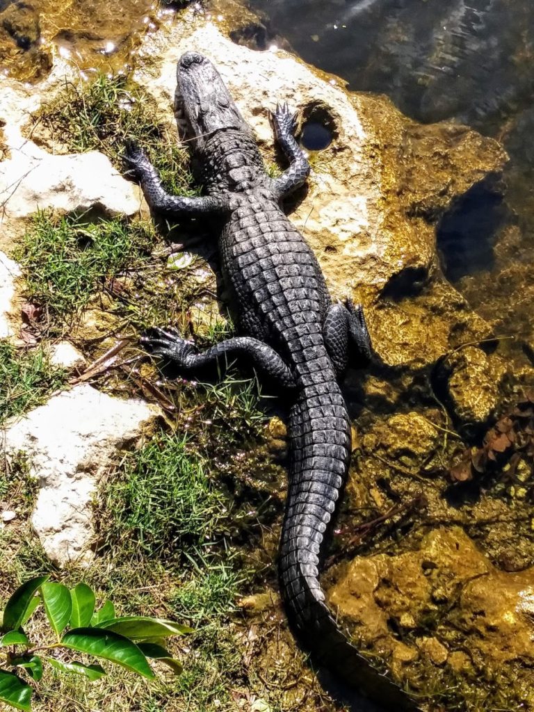
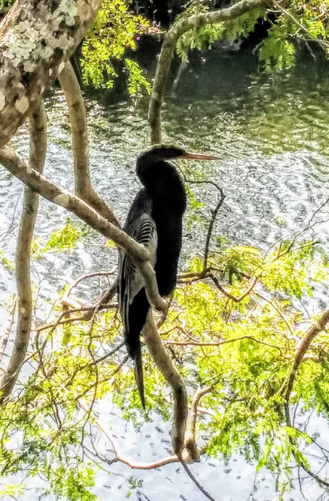
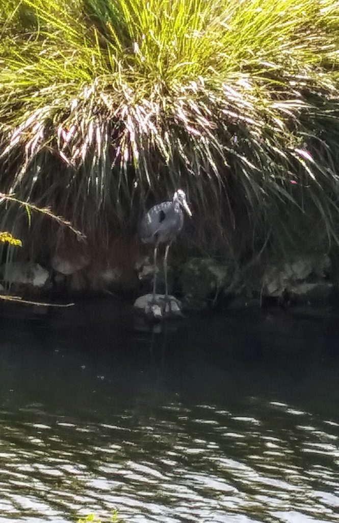
Today Kevin and I left the Keys behind…*sigh*…and drove to a KOA campground near Fort Myers. We will be staying for just a couple nights before heading a little further north to a state campground (and a visit with one of my sisters!). Our scenic route took us through the Big Cypress National Preserve (https://www.nps.gov/bicy/index.htm ), where we stopped at the visitor center and saw lots of alligators and quite a few new birds! The Big Cypress National Preserve was established in 1974 as the first ever national preserve, and came about in response to a proposed jetport development in the area.