Coronado National Monument….

Panoramic View from Coronado’s Peak

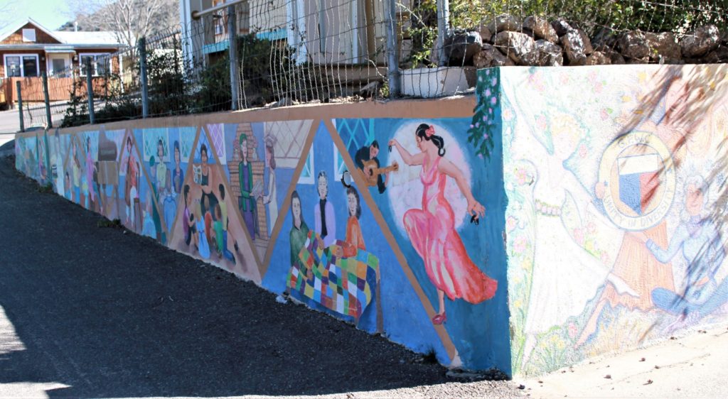
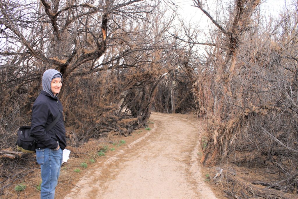
We were looking for a place to get out and get some exercise when we were headed into Sierra Vista, AZ to resupply and passed a road sign for the Coronado National Monument ( https://www.nps.gov/coro/index.htm ) along the way. We decided to check this out after discovering the Huachuca Hiking Trail was actually located on Ft. Huachuca and there were several signs indicating bear activity. We didn’t want to involve the Ft. Huachuca Military Police in our daily exercise. This turned out to be an excellent choice!!

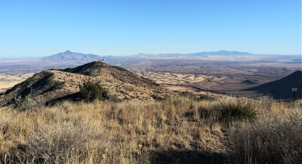
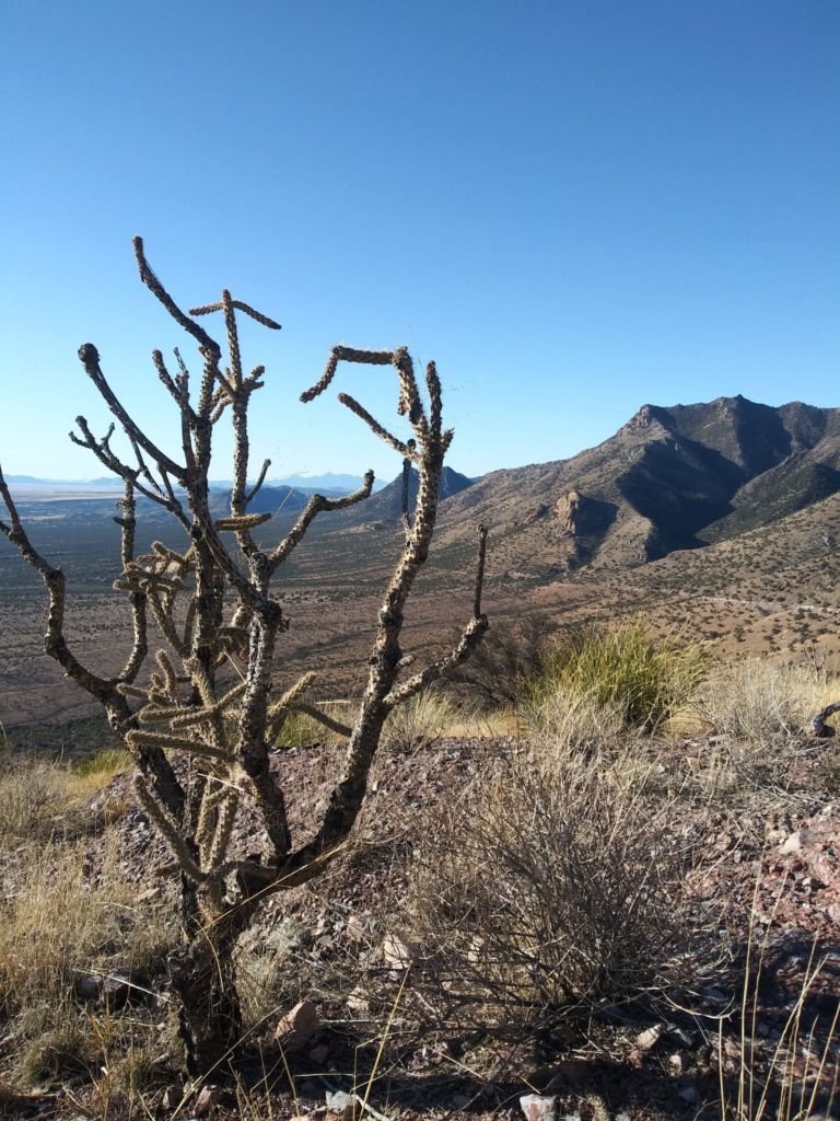
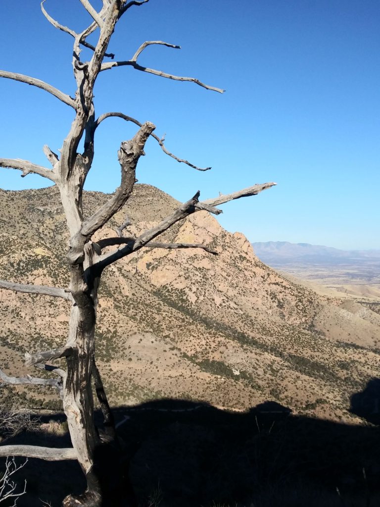
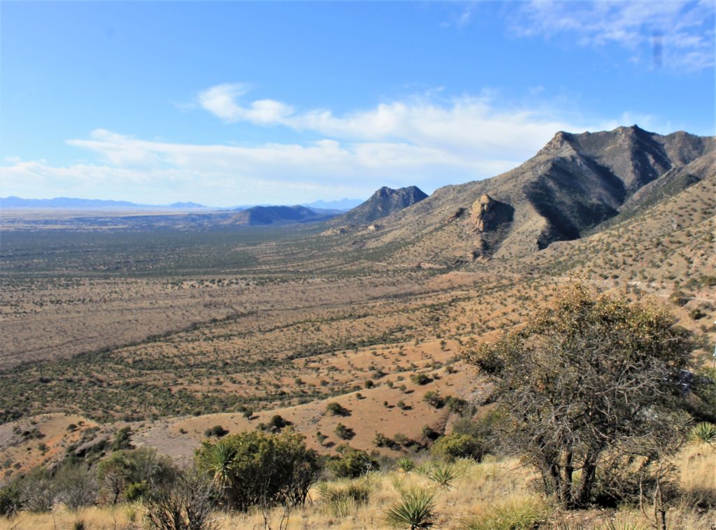
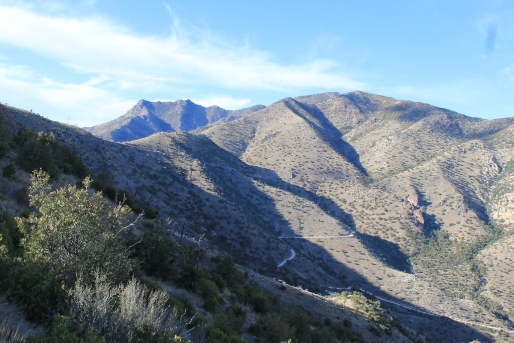
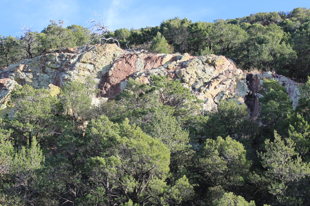
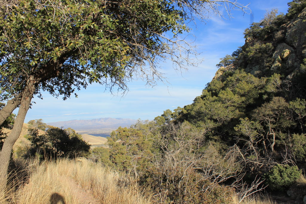
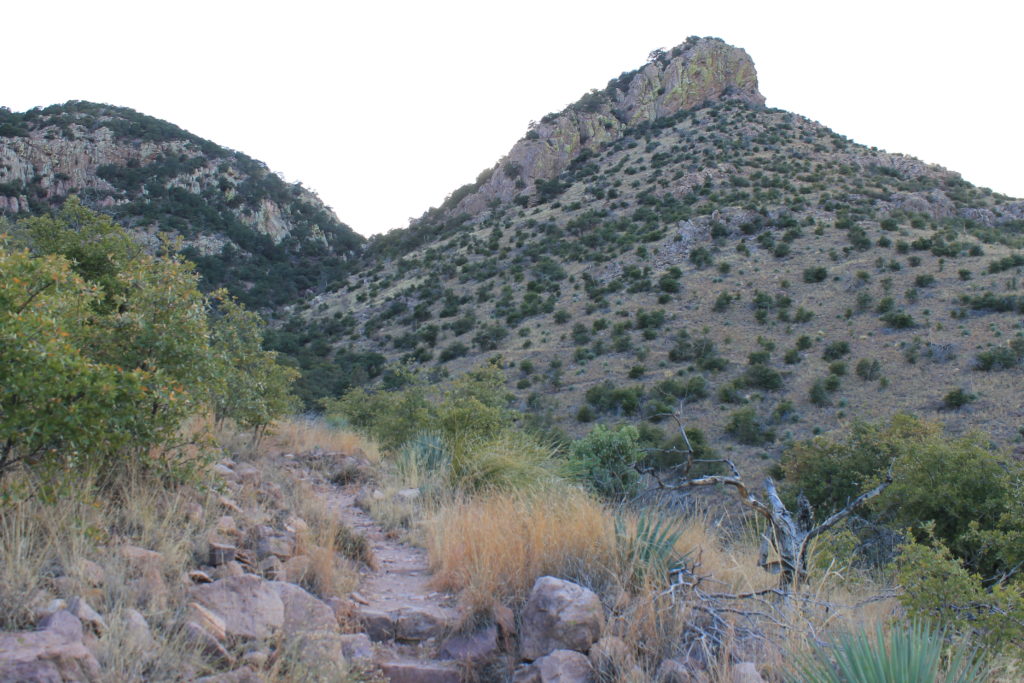
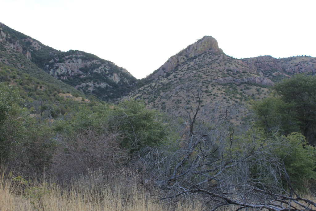
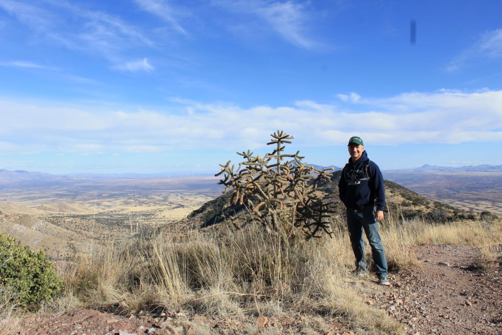
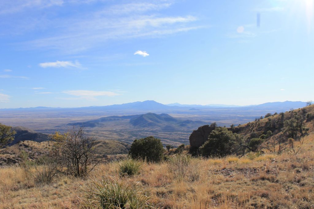
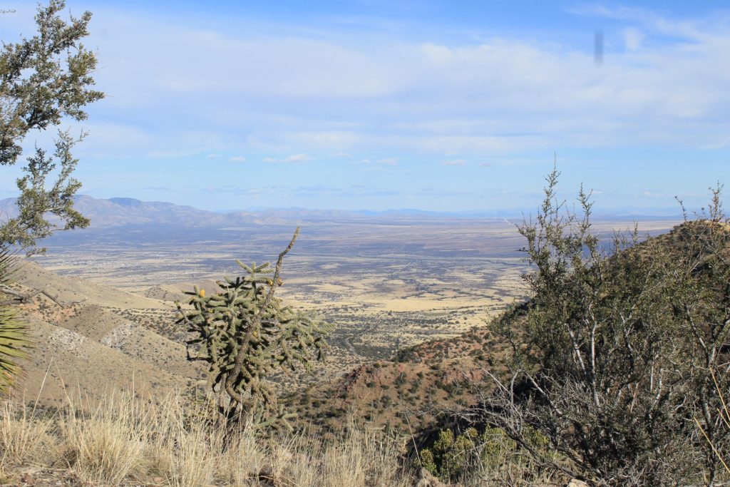
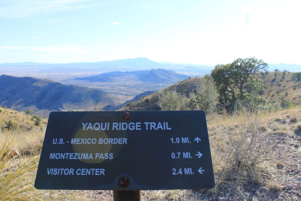
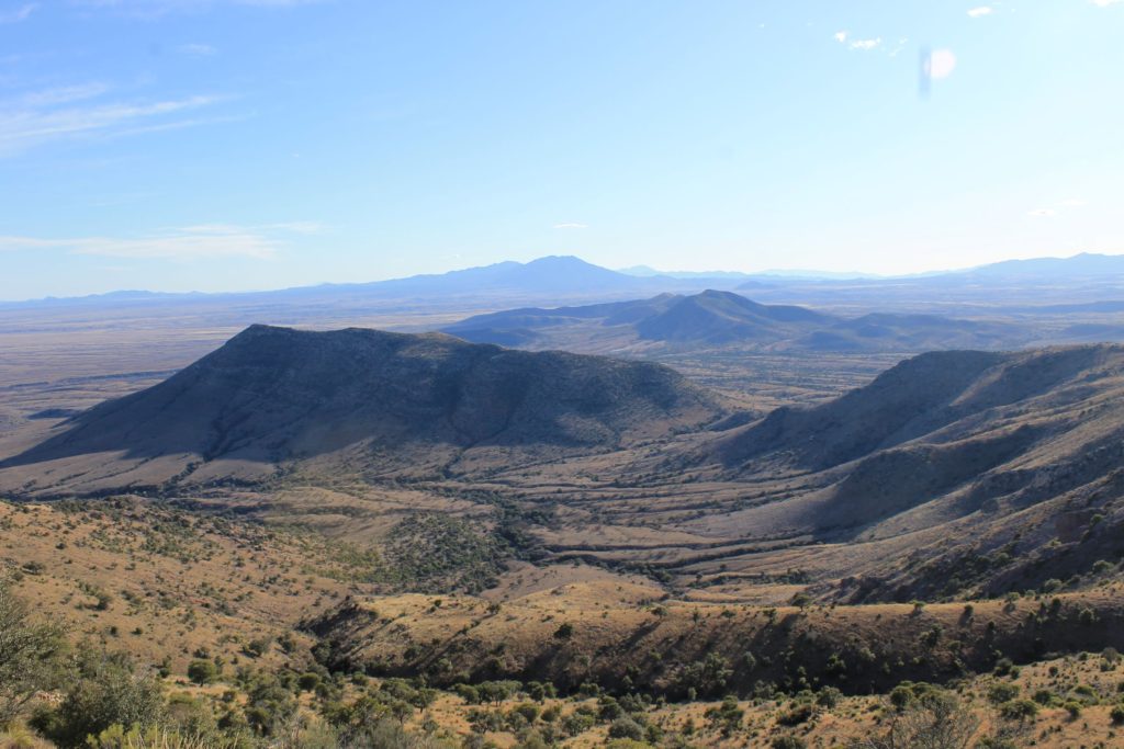
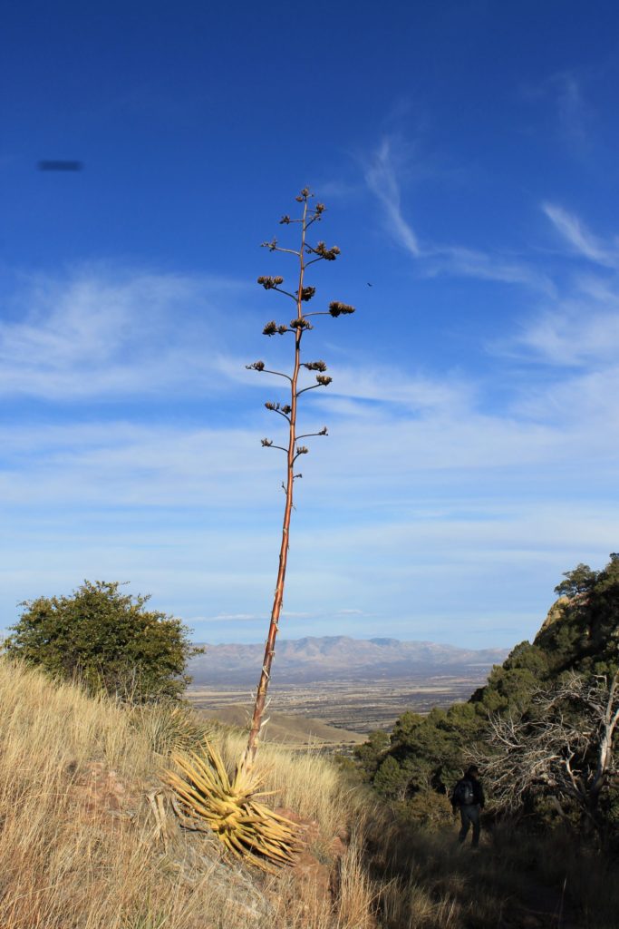
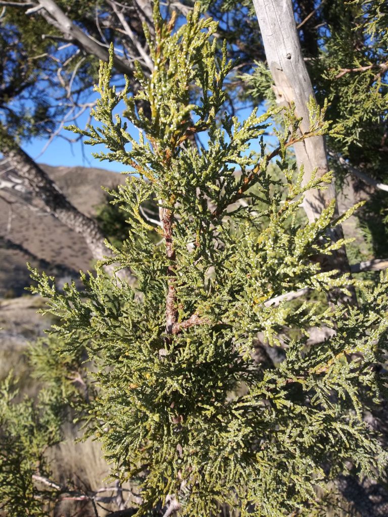
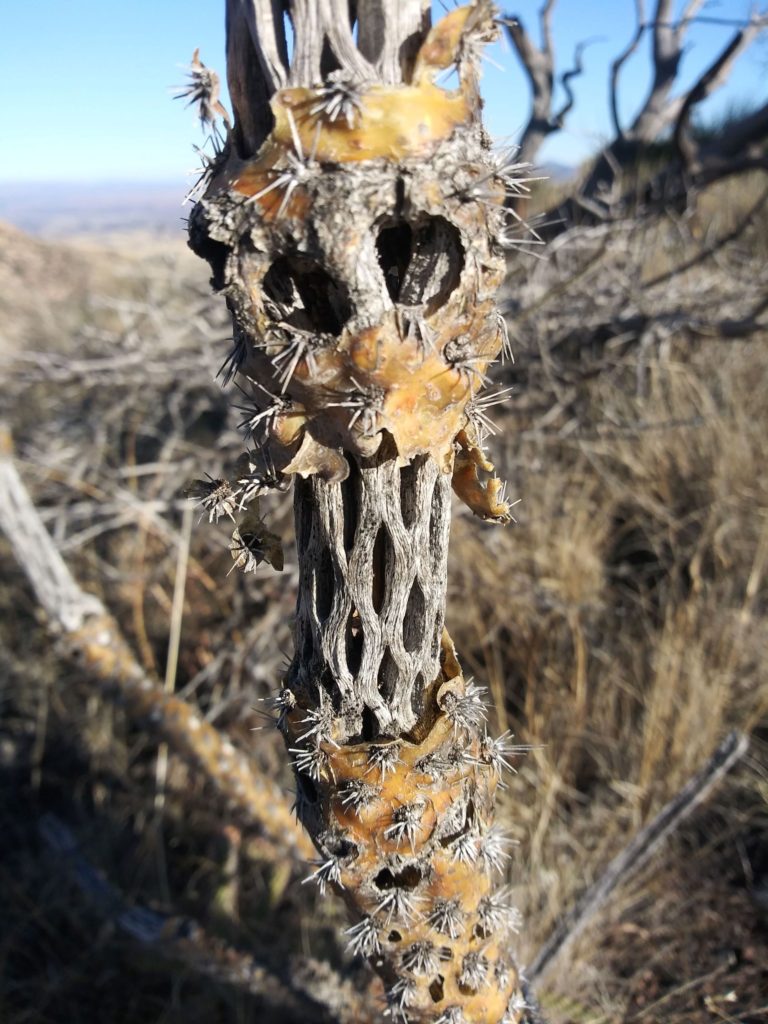
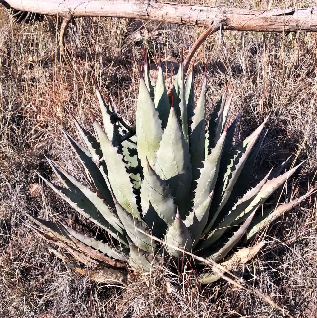
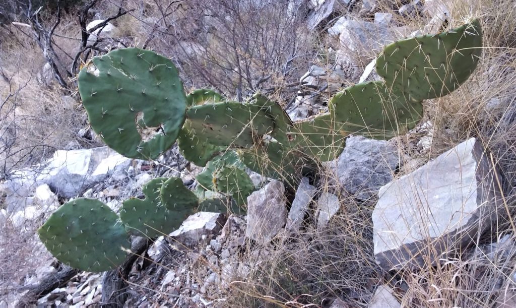
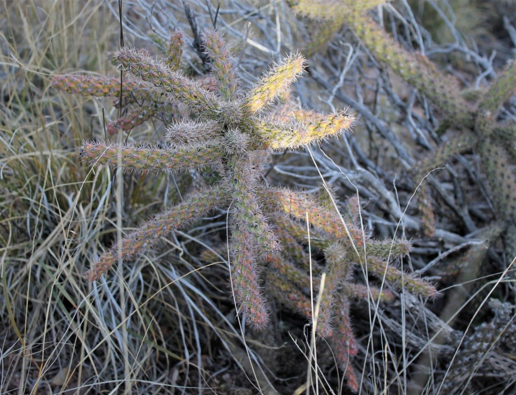
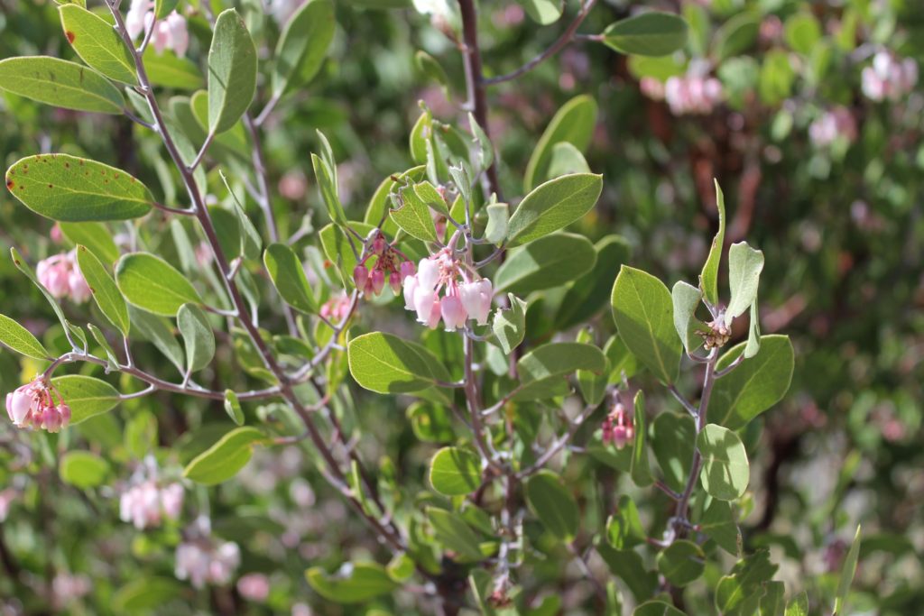
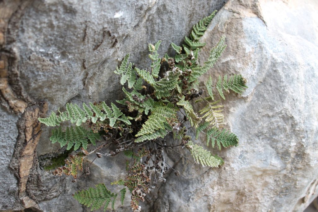
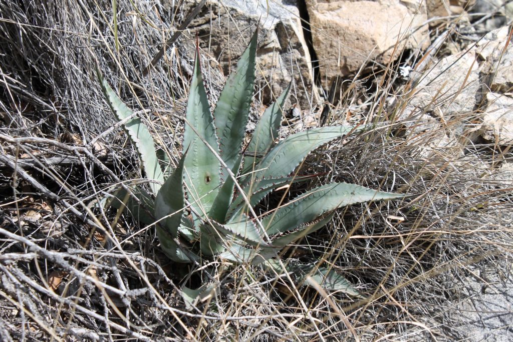
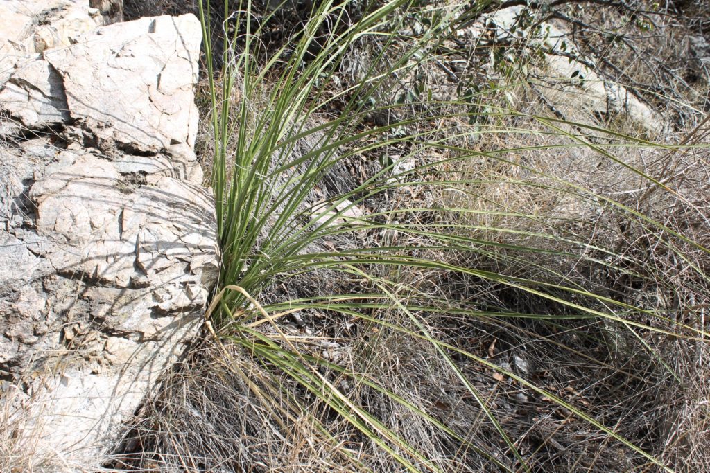
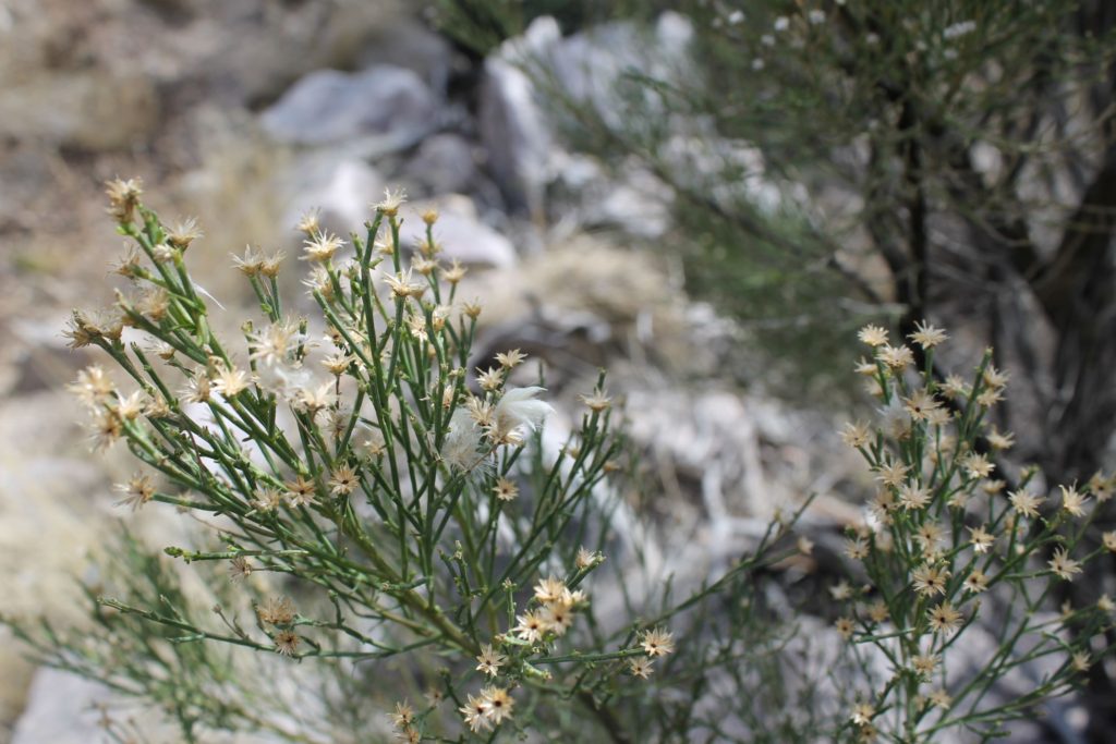
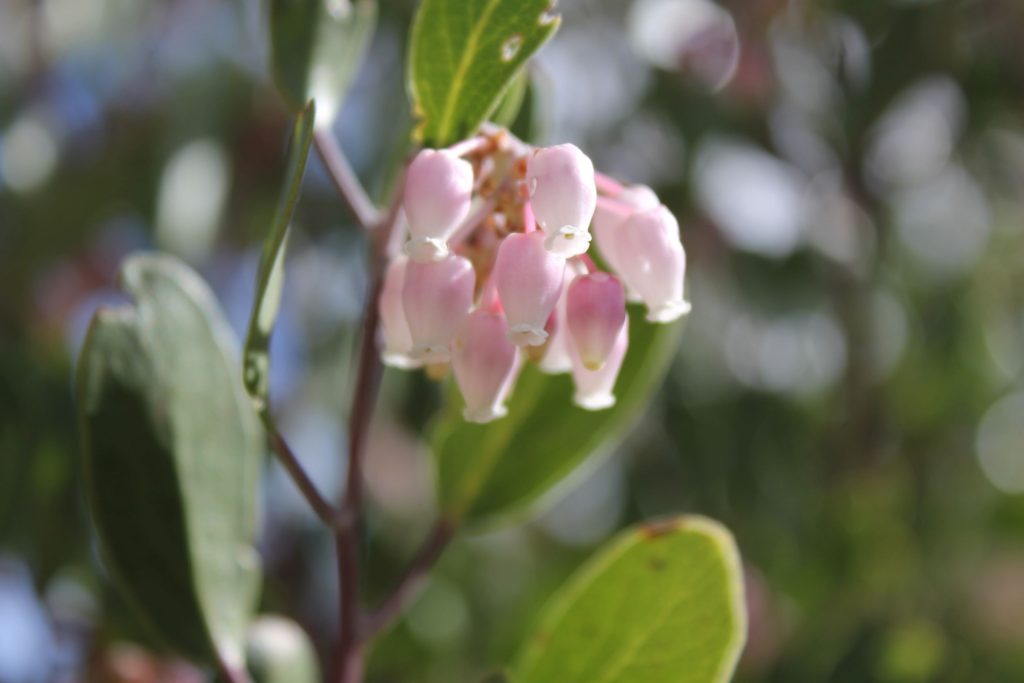
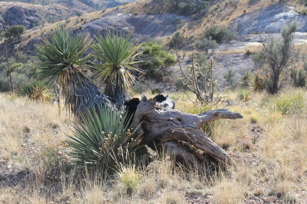
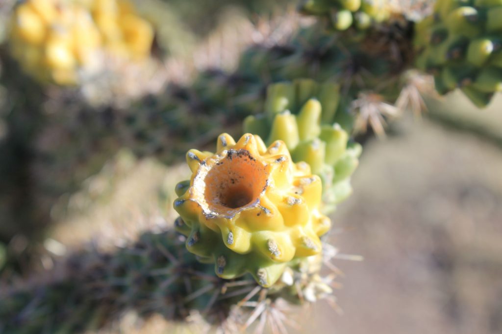
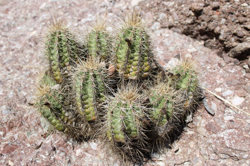
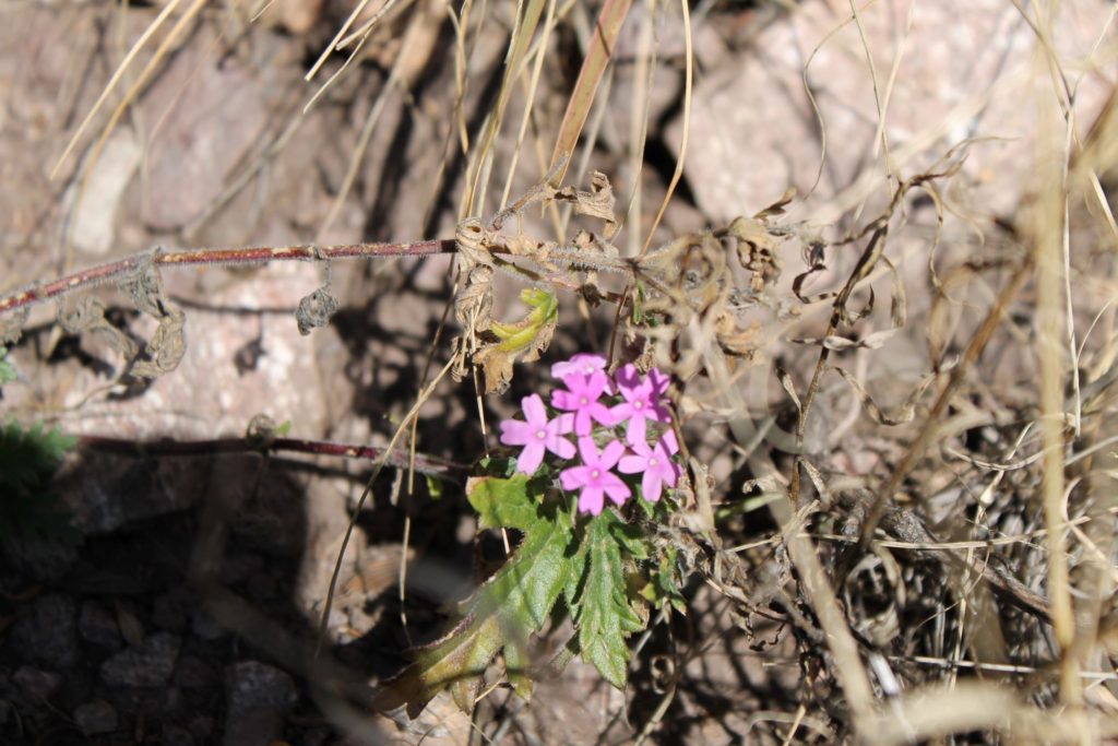
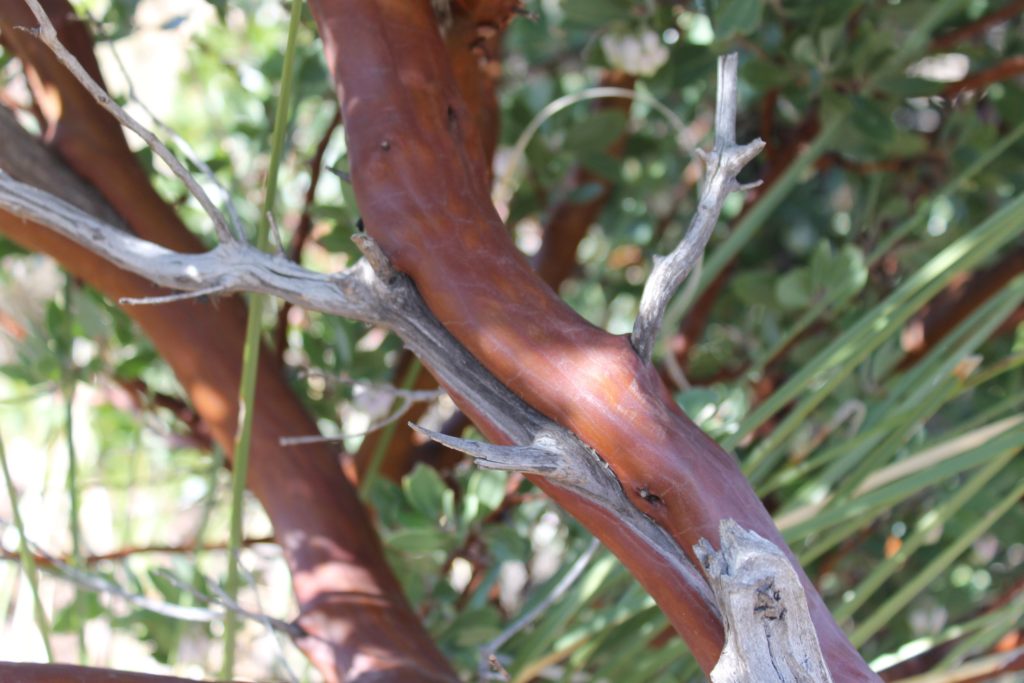
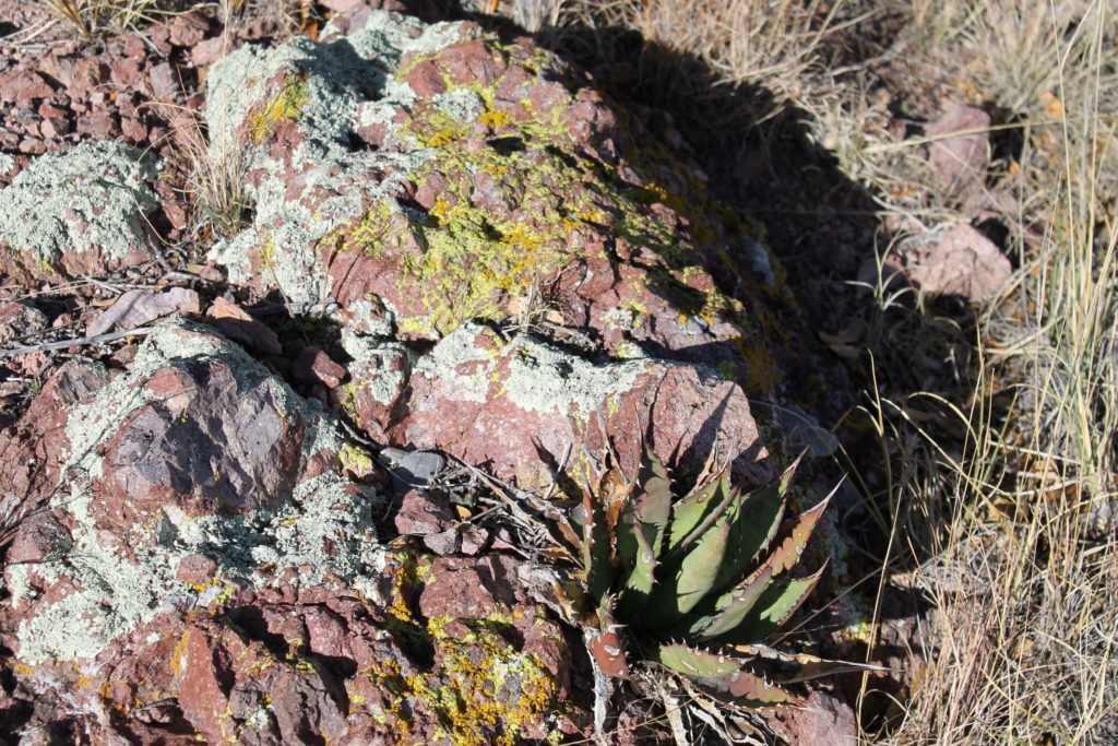
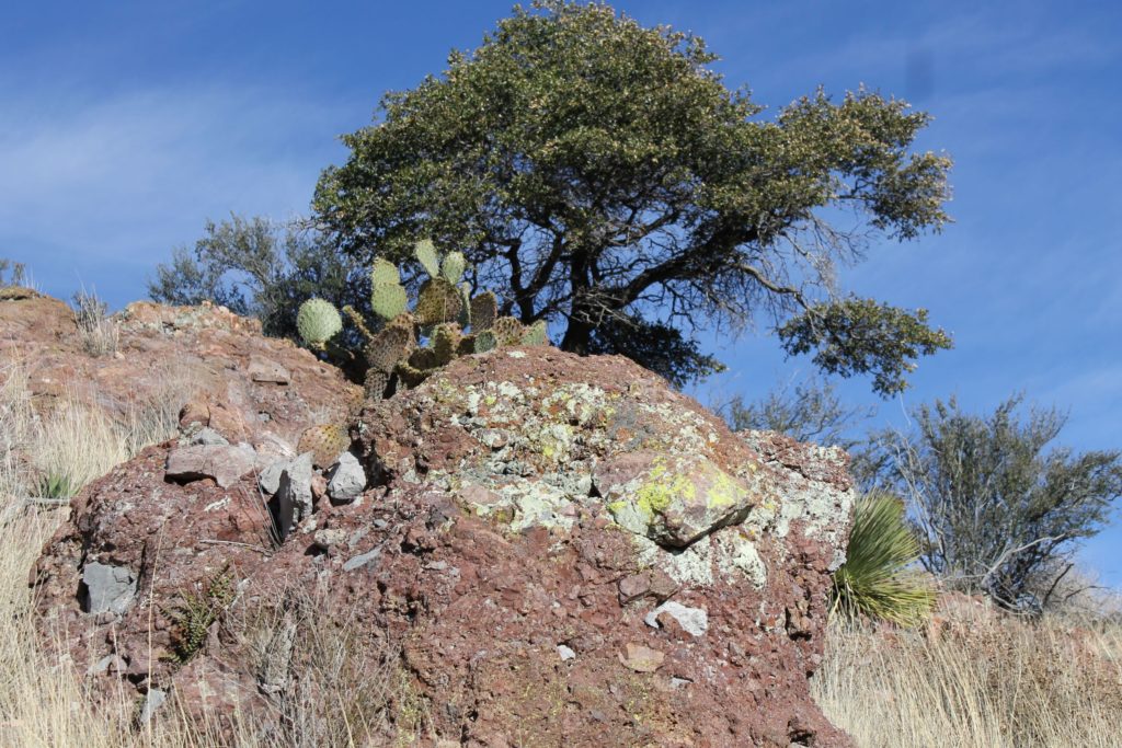
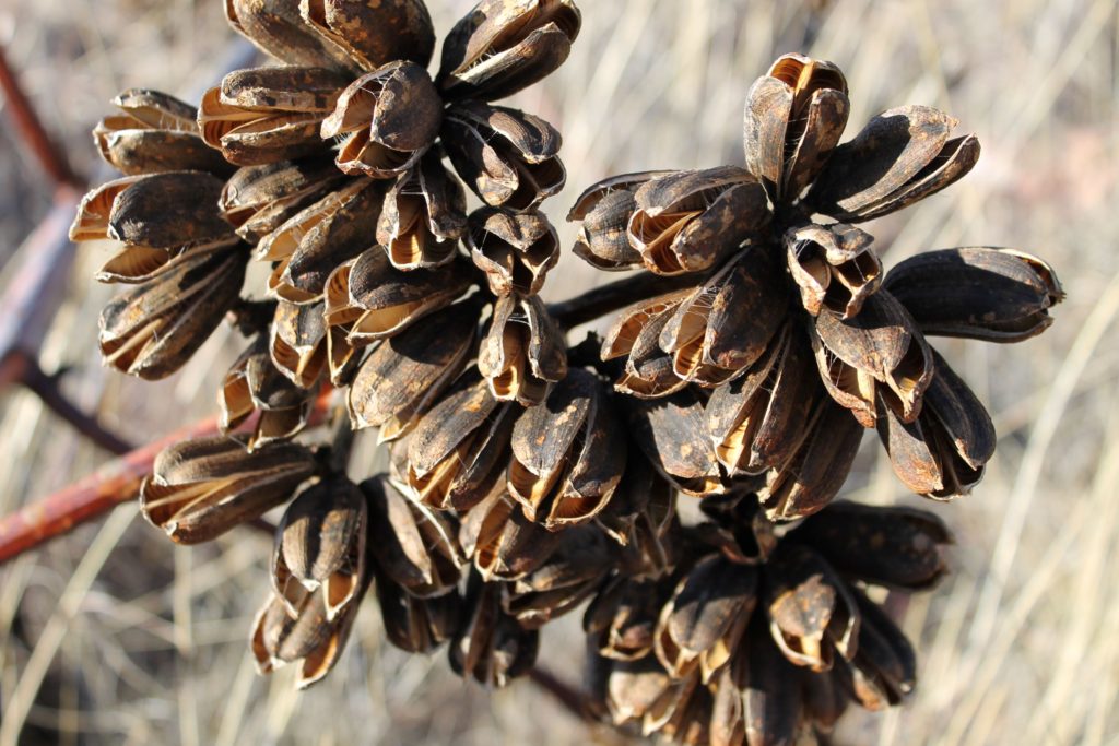
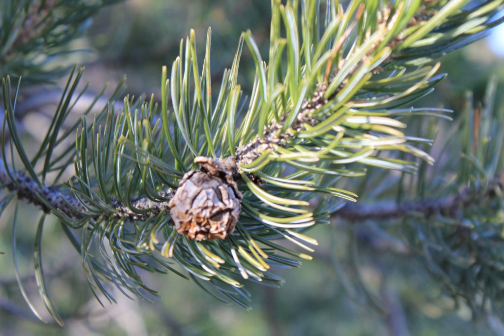
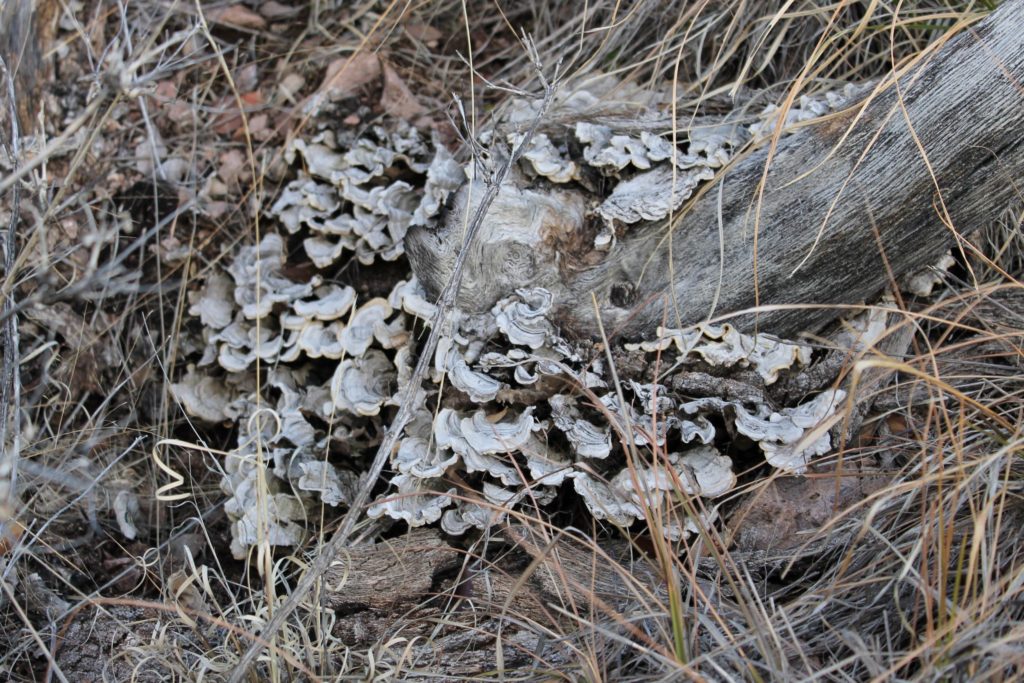
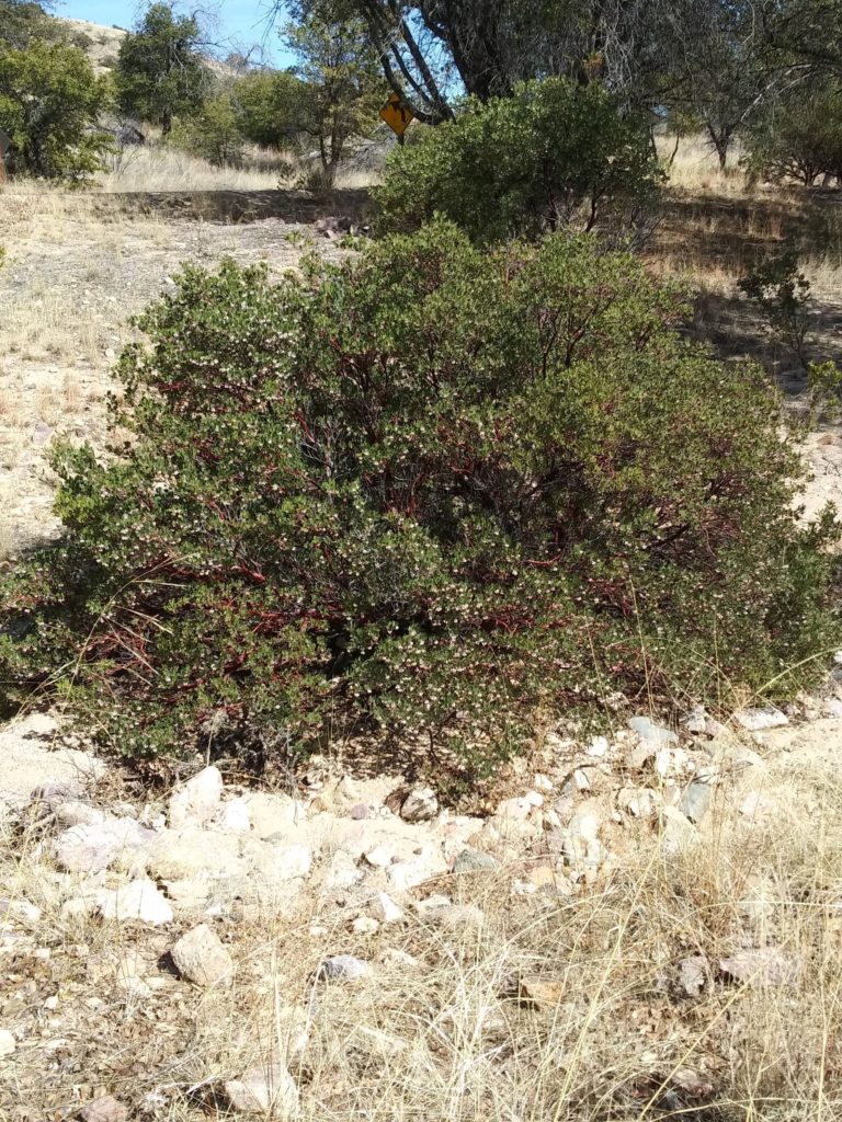
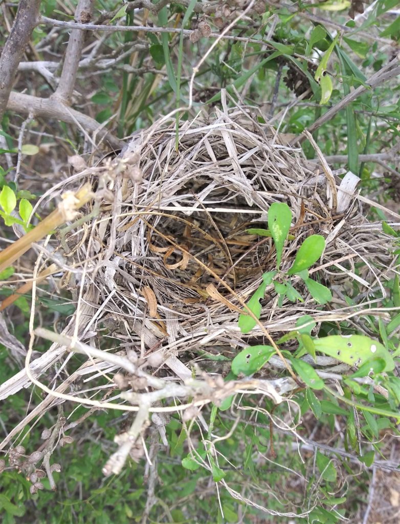
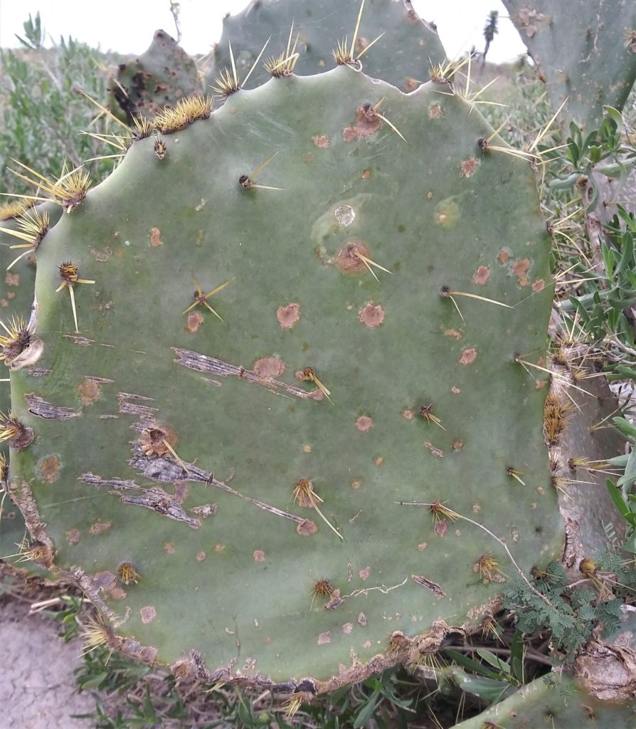
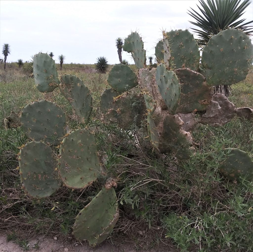
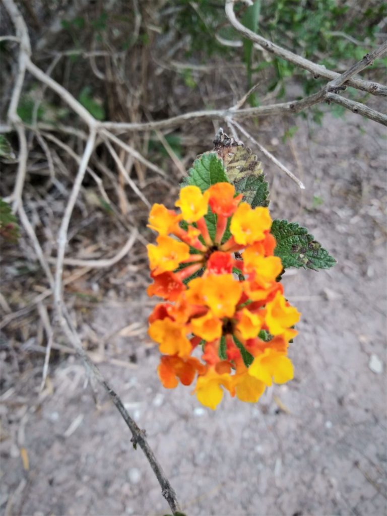
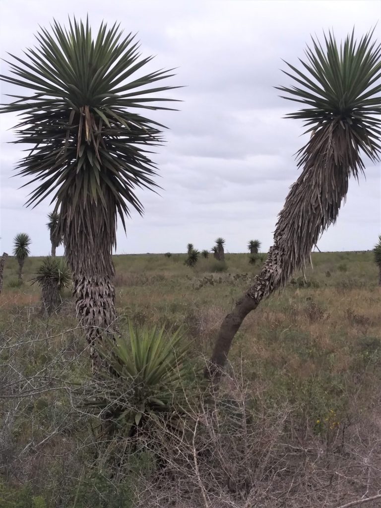
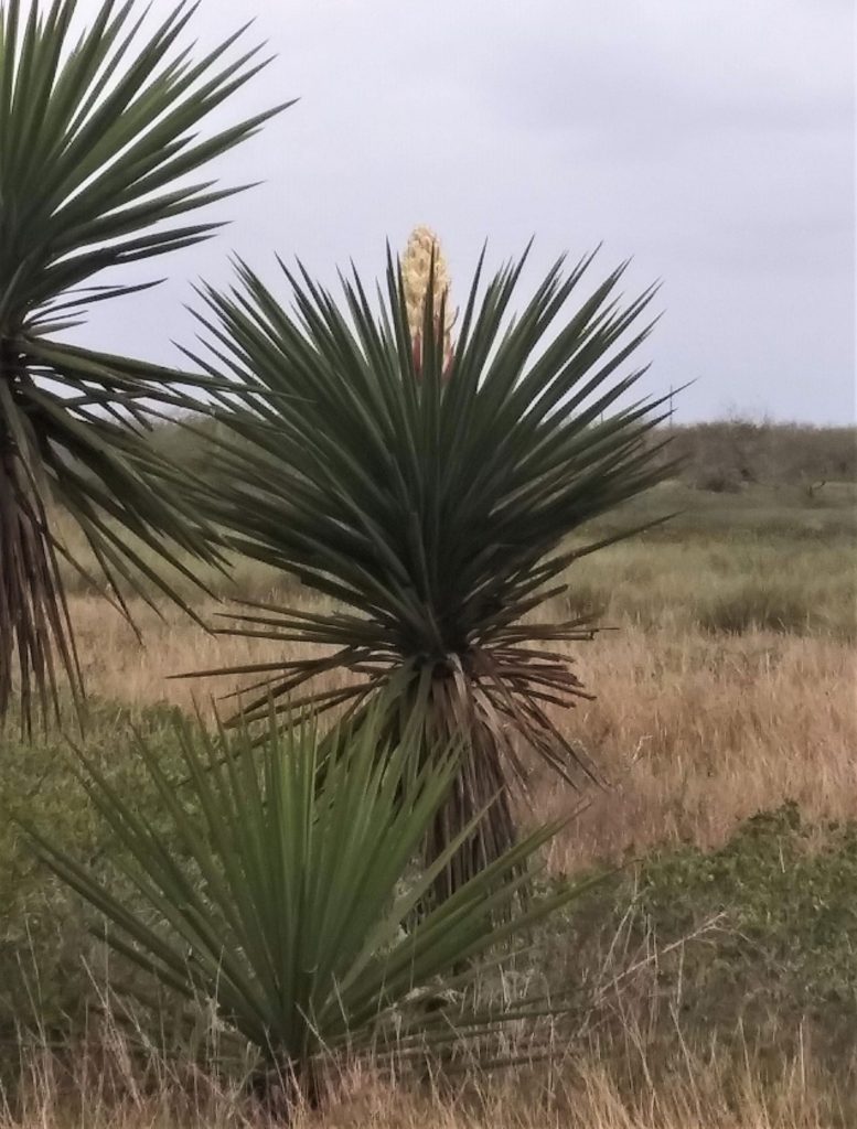
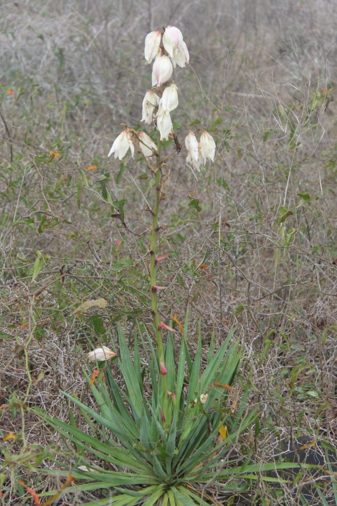
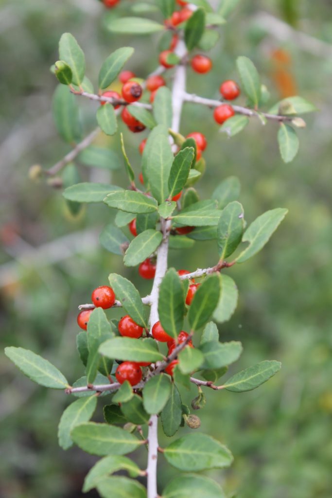
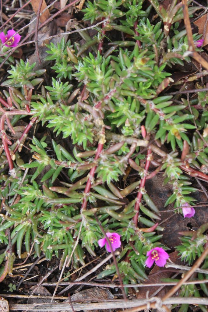
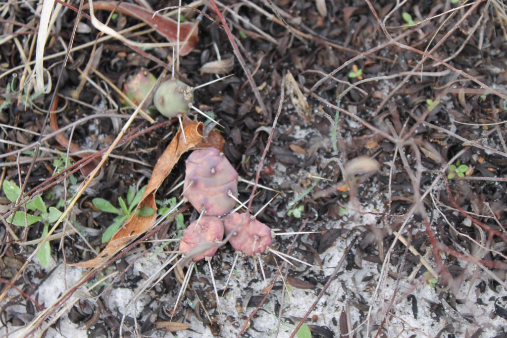
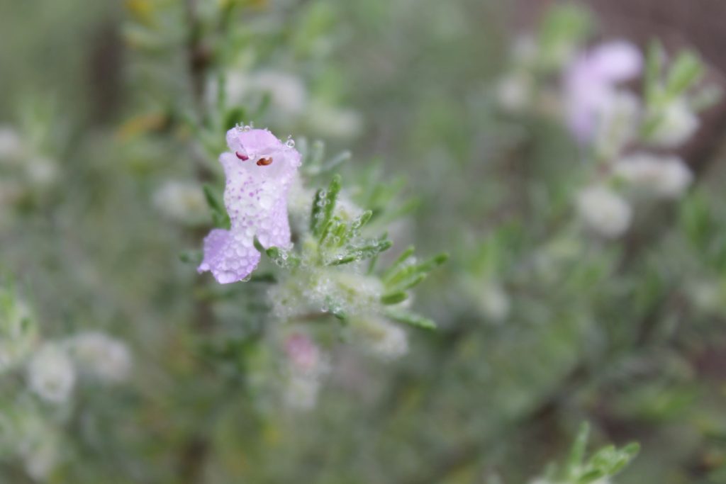
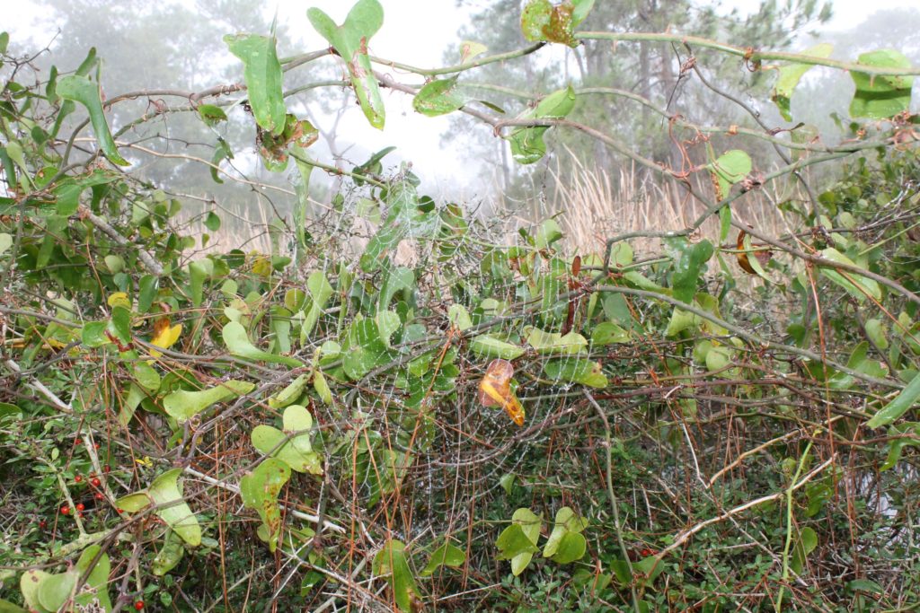
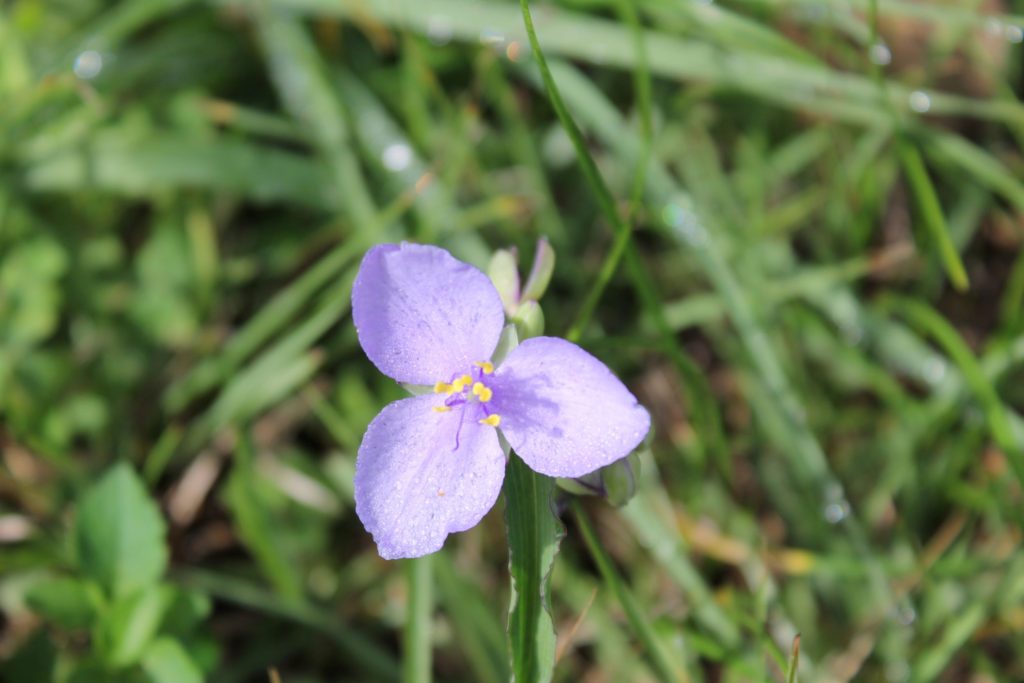
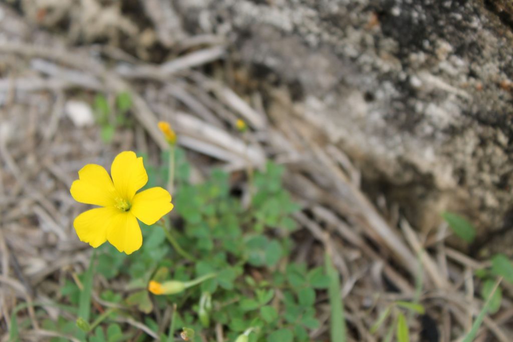
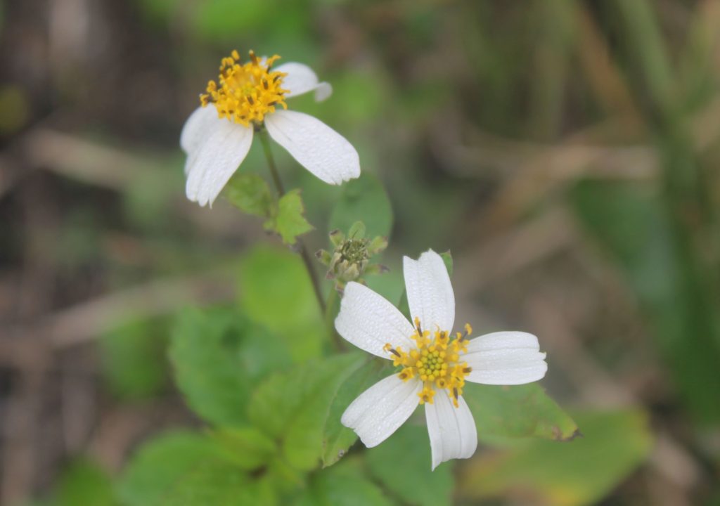
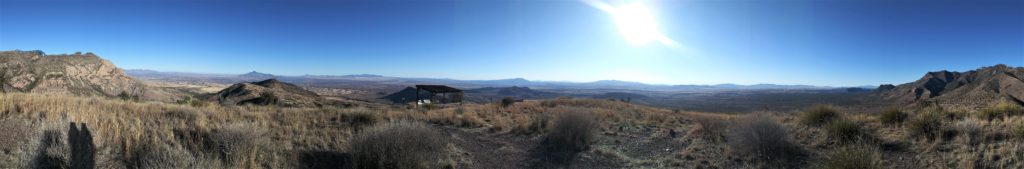
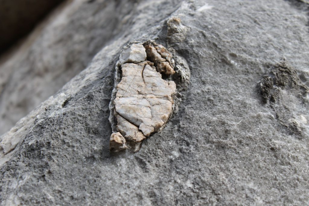
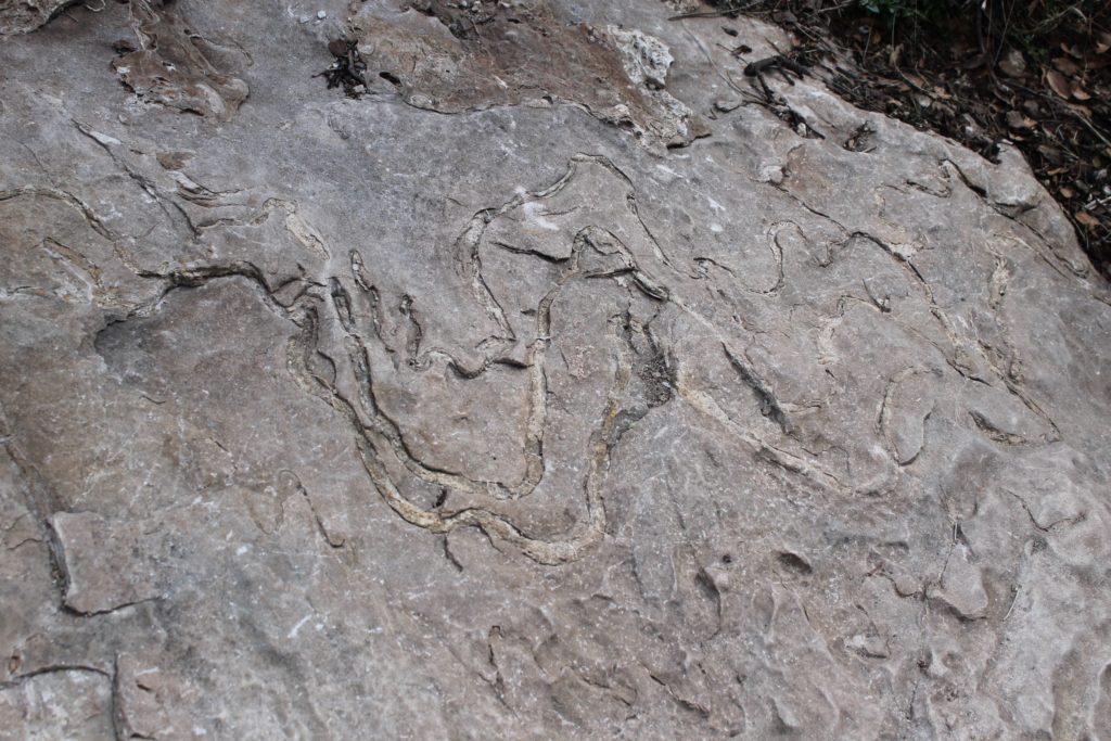
There are several miles of hiking trails at the Coronado National Monument with beautiful views of the Sonoran Desert. The National Park in the south part of Cochise County extends south to the Mexican border and includes the majority of a mountain range. The visitor center explains that the Coronodo Expedition came through this area in search of Quivira, the Seven Cities of Gold. Led by Francisco Vasquez De Coronado, the expedition started in Mexico and went into present day Kansas in 1540 by way of the Montezuma Pass located in this National Monument.

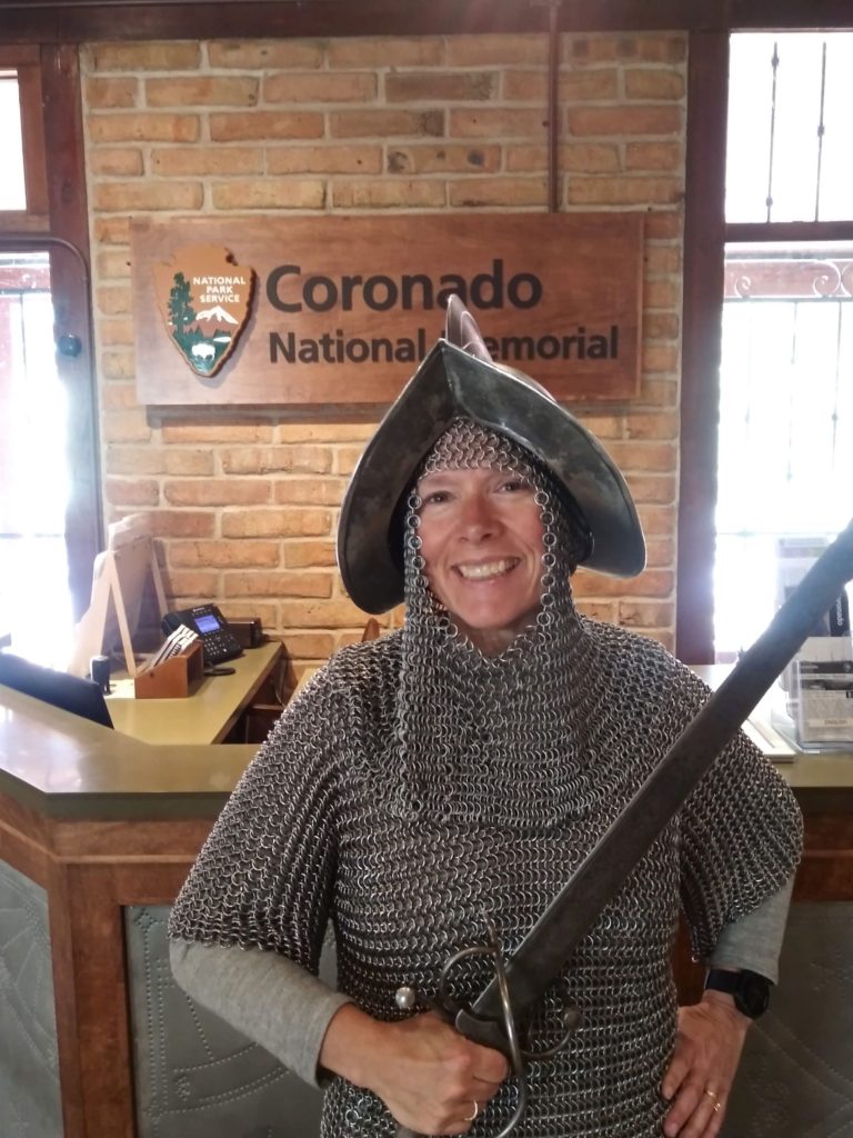
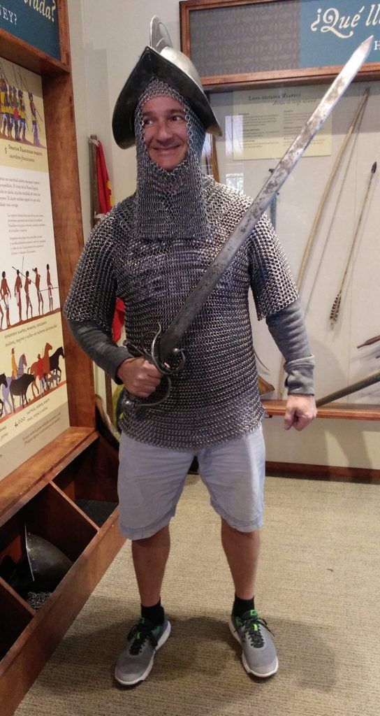
The visitor center provides information about the expedition, and how Spanish culture came to the region through the expedition. It also provides the opportunity to try on some replica Spanish chain mail that a foot soldier would have worn traipsing through these mountains… yes, we tried on the 57 lb garb…

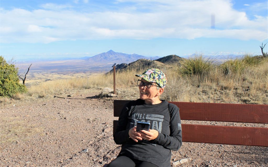
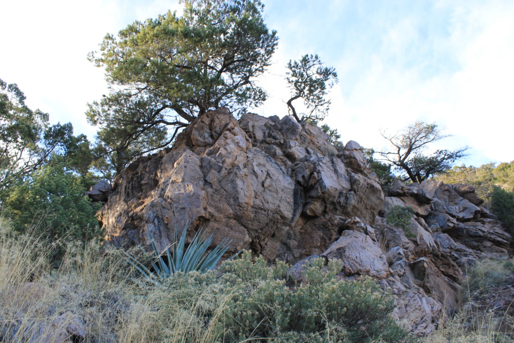
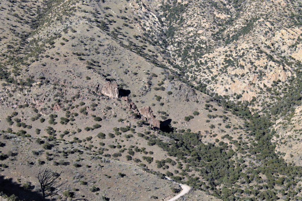
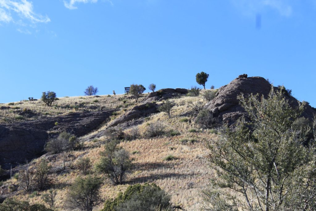
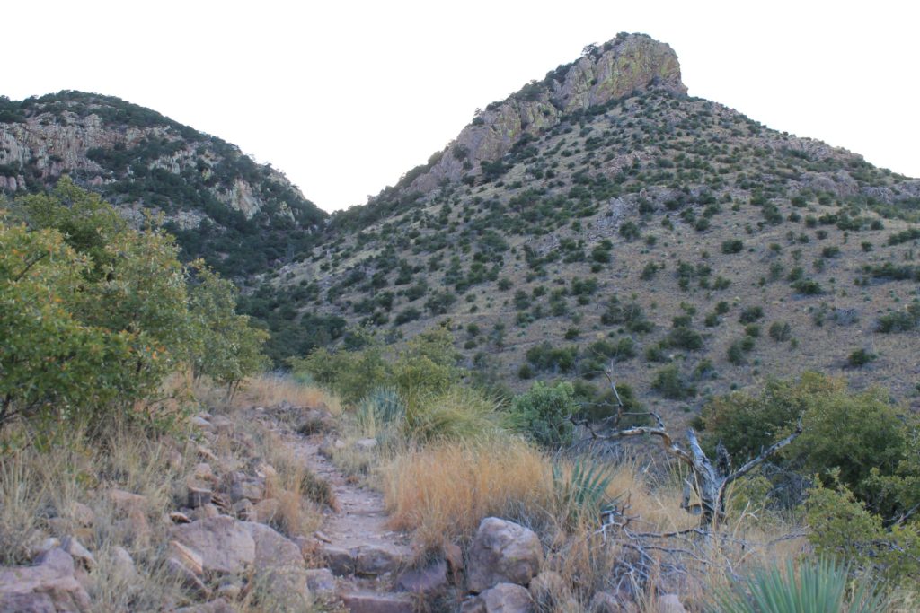
The park has a picnic area as well as several hiking trails, including one that ends at Coronado Overlook, one that ends at a Coronado Cave and another that will take you to the Mexican border. Unfortunately we did not have enough daylight to take that trail….guess we will have to save that one for next time…

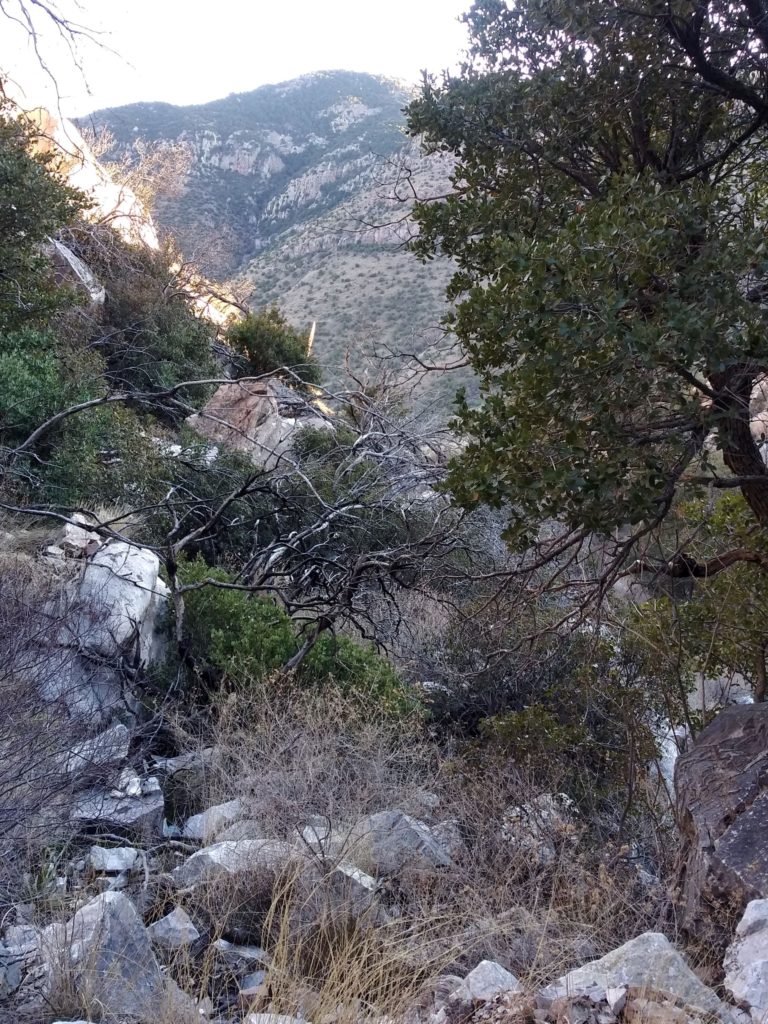
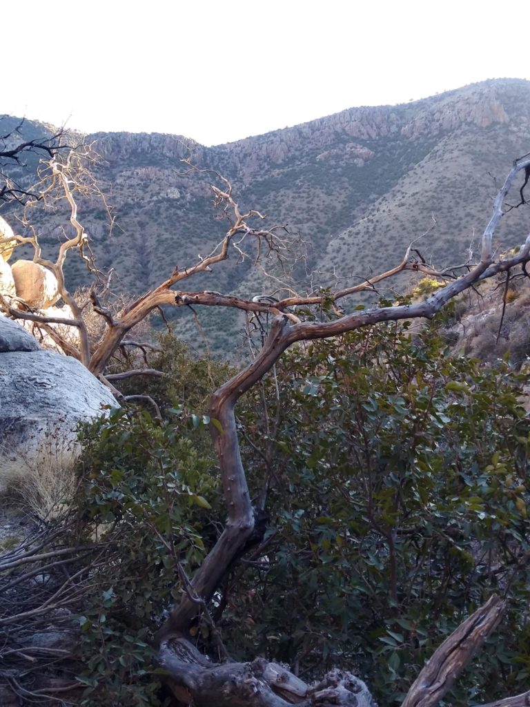
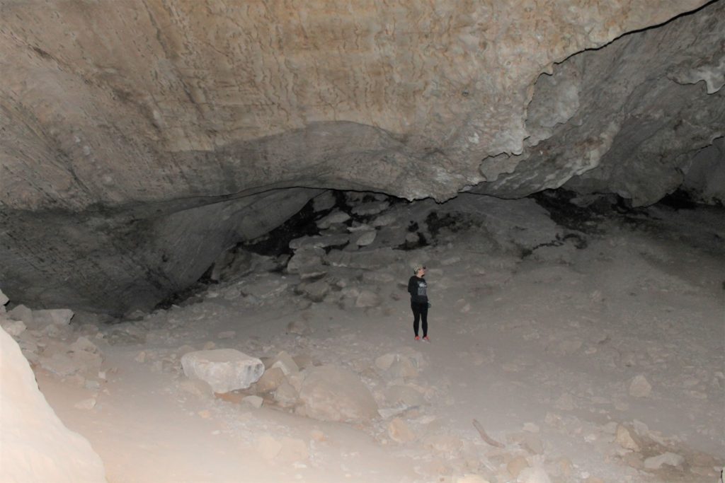
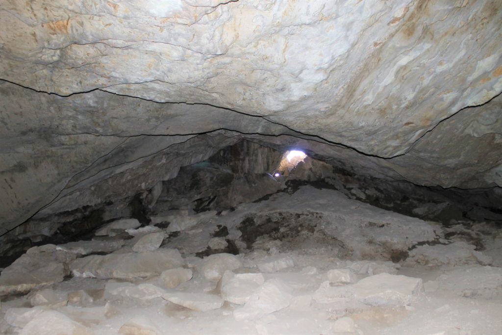
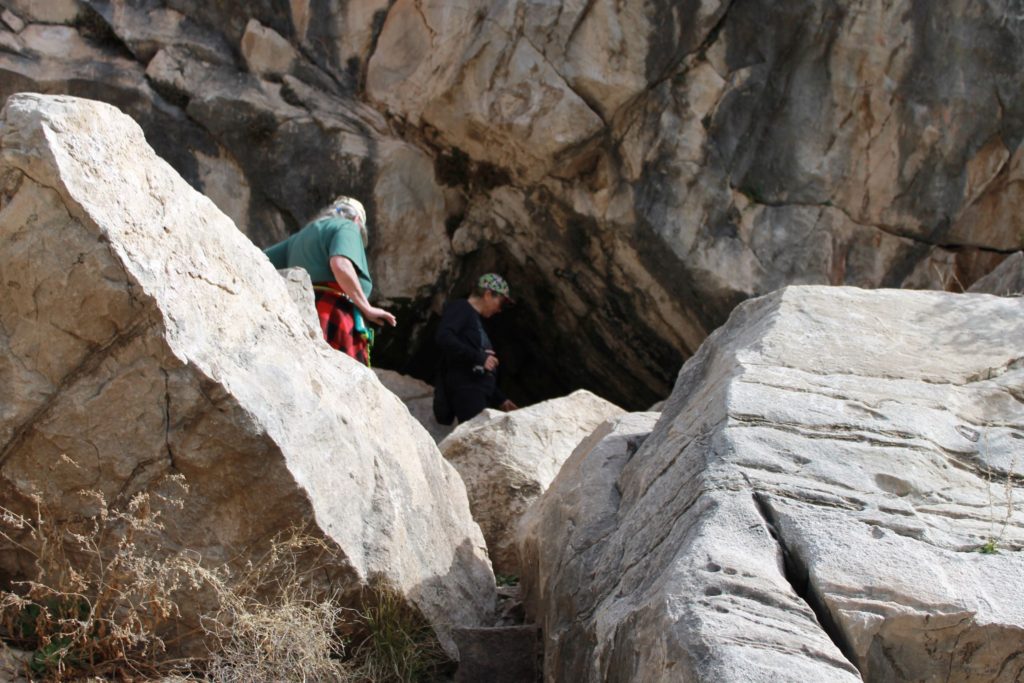
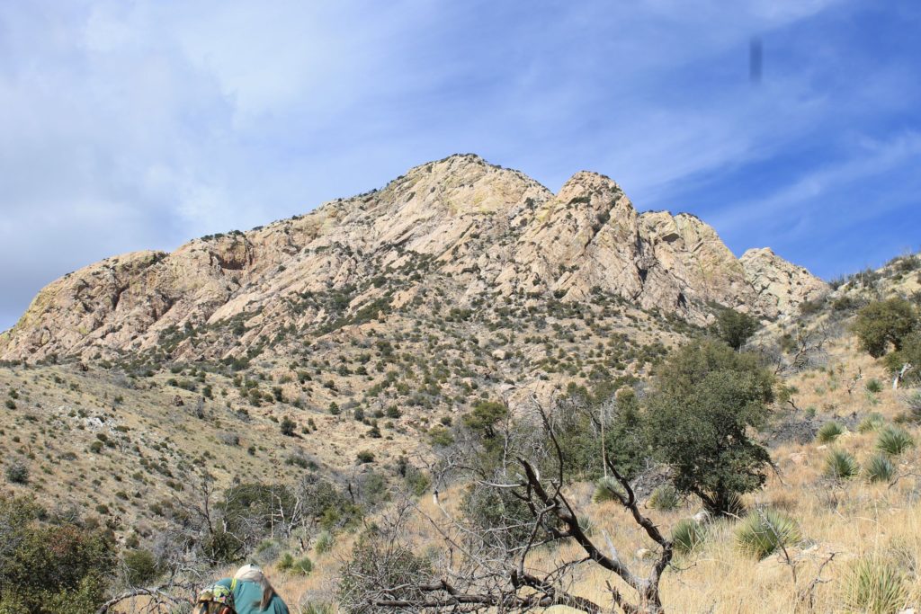
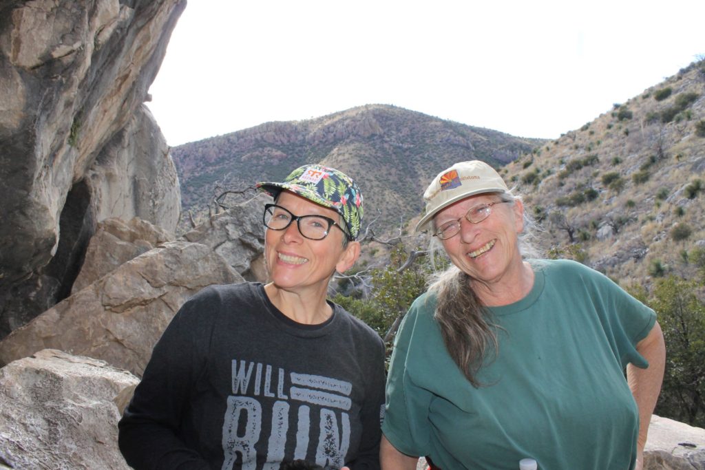
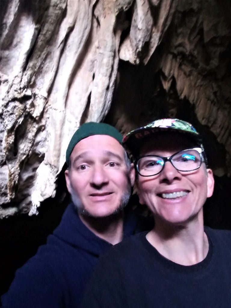
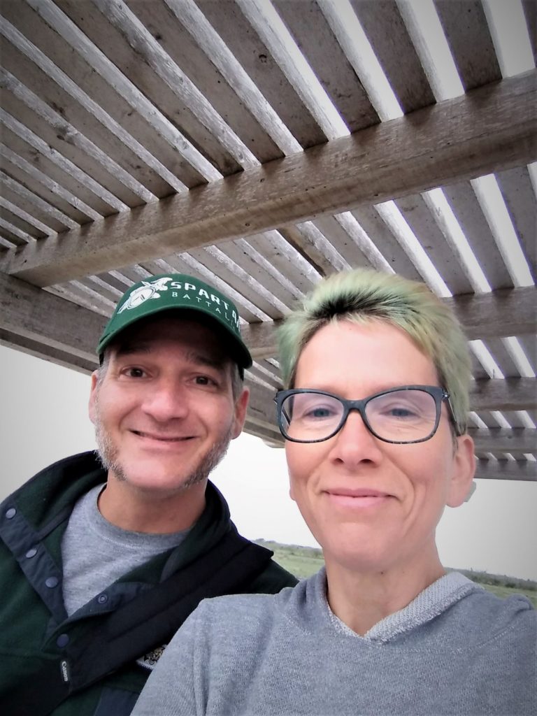
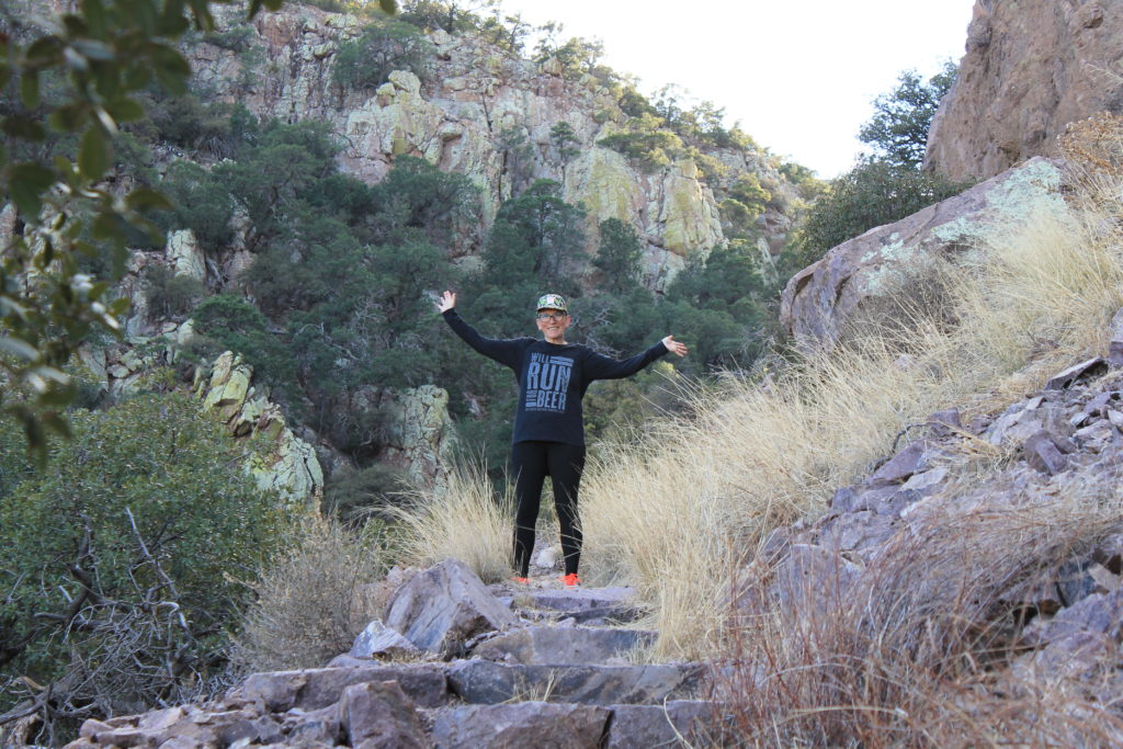
We visited on two separate days, and we experienced the overpass, the cave and the ridge trail. The overlook and the ridge trails were stunning. Unfortunately, our flashlights were not up to the challenge of cutting through the darkness of the cave, so we barely got into the opening before we had to turn around. We would love to revisit this park to explore a little more!

Hangin’ Out in Bisbee…

Bisbee, AZ is the county seat for Cochise county and is a really fun little town with tons of quirky character. The large copper mine that operated here for 100 years used to be the main attraction in town. The Queen Mine went dry in 1975, but you can still take a tour of the facility. Although we did not get a great picture, the Lavendar Pit is a really visible reminder of copper glory days gone by ( it is quite literally a GIANT hole in the ground). Now it seems that Bisbee bills serves as more of a tourist destination. Incidentally, Bisbee is only about half an hour from the famed town of Tombstone, AZ (home of the OK Corral shootout).

We spent a fun afternoon exploring Bisbee . Diane (Donna’s sister) generously served as tour guide for the day, and we learned a ton about this historic Arizona town. For example, there is an annual Stair Climb event (each October) that entails climbing over 1000 stairs. We did climb a few stairs….but nowhere near the full 1000!

“Iron Mike” is a statue in town that honors the “virile” copper miners, and just on example of the captivating scenery available. Everywhere we turned there were amazing examples of the quirky, artistic nature of this fun town. We cannot wait to visit again!

Among the many plants we saw while roaming around town was a pomegranate tree, which was new to both of us! We also really liked the purple fruit of the prickly pear cactus and the amazing size of the century plants.

We also visited Arizona’s smallest bar (room for only 4 patrons….located in what used to be Room 4 in the Silver King hotel). Friendly service…delicious drinks. We will be back to visit the “Room 4 Bar” the next time we are in town!

Finally, we took a few minutes to visit Warren Ballpark. Built in 1909 it is the oldest multi sport field in the United States.

Taking a Walk….in New Mexico.

Visitor Center at Mesilla State Park

We have found that driving four to six hours in a day is pretty reasonable if you stop every couple hours to get out and walk around. And we like to frequent State and National Parks if we can. That is how we found Messilla State Park, in Mesilla, NM.

The Park had a couple of hiking trails and we took advantage of one. It took us through the landscape by the Rio Grande River. The nature trails are self-guided and provide examples of regional flora.

The people at the visitor center were very friendly. One ranger, in particular, was very eager to share historical knowledge with us. He told us about much of the Civil War fighting that happened in the area with rich detail of the feeling of those involved and not involved. And when he found out we were headed further west, he shared more recent history about Poncho Villa, and the US reaction.

According to the ranger GEN Pershing was litigating the fighting against Poncho Villa, during the Mexican Revolution. He also informed us that it was one of the first military actions where motorized vehicles were used. He also quizzed us about the three prominent WWII generals who ‘cut their teeth’ out west. Two fought with Pershing as young lieutenants and one of the two actually crossed into Mexico. The third was known for his involvement in the Veracruz operation. Between Donna and I we got all three correct. Bradley, Patton, and MacArthur

It was a very interesting stop, and we enjoyed the conversation and the scenery. The Ranger suggested we make it to Poncho Villa State Park. We’ll have to check that out next time.

….and what stop in New Mexico would be complete without a UFO??? We found this one at the New Mexico Welcome Center…and it made us laugh!

Kerrville, Texas…KOA and Louise Hays Park

My kind of potted plant……

After leaving Brownsville, Google Maps didn’t provide many options for RV parks in Western Texas. We did find the Kerrville KOA Journey, which turned out to be a very nice campground just on the outskirts of Kerrville, TX. The campground was very clean and neat. We had reserved one spot, but the owner helpfully suggested a different one a bit further from the main road, and it worked out nicely. The camp store was open until 8PM, and it had a surprisingly good selection of grocery and convenience store items. There was also a laundromat that was clean and tidy. Plenty of washers and driers to support the park. Definitely a good place to stay if you find yourself west of San Antonio.

Since we stayed a couple nights, we took time to explore Kerrville a bit. And the major attraction we found was the Louise Hays Park in downtown Kerrville ( https://www.kerrvilletx.gov/829/Louise-Hays-Park ). Robert S. Hays donated the 35 acres along the Guadeloupe River to the city for the park on two conditions: it be named for his wife, and it be built in a single day. The city and 2000 workers met his conditions. The scenic and serene park includes Tranquility Island in the middle of the Guadeloupe. There are plenty of amenities, including picnic areas, playgrounds, and an amphitheater, as well as over seven miles of trails.

Wildlife is plentiful throughout the park (a herd of deer accompanied us on our first visit), and they were less than concerned with our presence. The other prominent creatures were a number of water fowl. Mallards, geese, and other birds were floating down the river, or roosting in the massive cypress trees.

An old dam creates a nice area and small water fall in the river. We saw several people with young ones fishing along the banks when we were out for a jog in the park. Further away from the city center, we saw lots of stone cairns and stone people. Not sure exactly what they are, but they were very interesting.

The park was very nice, and it is apparently the venue for the city’s Independence Day celebrations. It is definitely a park that the city and Robert and Louise Hays should be proud of!

Brownsville, TX

Brownsville, TX is the southern-most point of the Lone Star State. Why would someone from Michigan go there? Because on a cold day, it’s 60F. Also, because there is a population of mid-westerners who are winter Texans, and one of them is a friend of ours.

We arrived at the 4 Seasons RV Resort on Monday. Our friend, Jon (along with his friend Danny) met us at the gate and escorted us to our camp spot. We spent the next few days relaxing and exploring the area. On Tuesday, Donna and I trekked out to the Palo Alto Battlefield National Park. On Wednesday, Cindy and her friend, Sherry, took Donna shopping. Jon, Danny and I visited the “library”. And on Thursday we met with Ruben and Dorena, a couple of friends from Donna’s work, who took us border shopping in Progresso, Mexico.

We didn’t make it to Boca Chica, so we will have to come back. The cloudy weather didn’t lend itself to a beach visit, so it wasn’t a big miss. We spent the rest of the time visiting with Jon and Cindy. There were a few beers drunk and we may have regaled one or more war stories from our time in the service. Overall it was a good visit.

The 4 Seasons MH and RV Resort is a 55+ park. The people all seemed very friendly, enjoying their winter in Texas. We arrived during fun week, and there were a host of tournaments, including darts, cards, boccie ball, shuffleboard, and pickle ball. We did not participate, but it looked like the resort was doing a good job keeping the residents entertained. The camp spot was big enough for our rig and the dolly. And it was full hook-ups. And the staff was super nice. http://www.4seasonsmhrvresort.com/

Palo Alto Battlefield National Historical Park, Brownsville, TX

The Palo Alto Battlefield is on the outskirts of Brownsville, and site of the first battle of the Mexican-American War in 1846. General Zachary Taylor (which should ring a bell, if you’re following our posts) and 2,300 men were heading to Fort Texas as reinforcement. General Mariano Arista and his 3,200 men were trying to block the reinforcement effort by the US. Check out the National Park website for more details (https://www.nps.gov/paal/index.htm ).

This battle was a field artillery fight, and fortunately for the US forces, they had better range. They fielded 6 and 16 pound guns while the Mexican guns were 4 pounders. The battlefield has several placards that feature survivors’ quotes regarding the devastation the US Flying Artillery wreaked on the Mexican Troops. The battle lasted the day, and the Mexican troops retreated from the field.

Interestingly, there were some notable US people involved in this fight. I recognized 2nd Lieutenants George Meade and Ulysses Grant as well as Zachary Taylor. Two future presidents, and the General that oversaw the Army of the Potomac’s victory at Gettysburg.

Another not so famous officer was James Duncan. He was a field artillery officer. A lot of people have goals, and this fine gentleman and I share a similar facial hair goal… Though I feel he has more practice… what do you think?

The prairie in which the battle was fought has been transformed due to property improvement and invasive species. Mesquite and Prickly Pears are a couple of the invasive species in the park area. The National Park Service is working to return the area to its natural state at the time of battle.

On our way out of the RV Park, Jon told us to watch out for the Nilgai. If you know Jon, you understand that we were confused about whether he was serious… As one of the invaders to the Park area, the Niglai is mentioned on one of the placards. This species of Asian antelope was brought to the US as zoo animls in the 1920’s and 1930’s and then apparently released.

As we approached the last cannon display at the park (about half a mile from the park office), Kevin spotted something on the horizon. We did not know if Nilgai are typically aggressive, so we grabbed our phones and Googled as we slowed our pace. We also pulled out the camera and snapped a few shots. Our concerns assuaged, we made it to the final cannon. It turns out there were a herd of Nilgai and a herd of White Tail Deer in the area. So cool!

Lake Texana, TX

Our travel is not planned out in extensive detail…which results in finding new campgrounds at an acceptable travel distance only a day or two ahead of time. This has worked out pretty well so far. This tactic found us at the Texana Campground near Edna, Texas.

The campground is on Lake Texana, a man-made lake near Edna, TX. The campground was large and very spacious with miles of hiking trails, and plenty of water access for fishing, boating and wildlife observation. An extensive day use area offered picnic tables, boat launch, nature center (with regular programming), and kayak rentals. The lake seemed to be down a few feet during our visit; we assume it is because of the season. The creek/river that feeds the lake seemed to be low as well. But we could see the potential for great camping during more traditional times of year.

Our minor research indicates that Lake Texana is named for the town whose site was flooded to create the lake. Texana was formed in 1832 and used to be the county seat in the late 1800’s. In 1882 it was a major port. However, Texana turned down the railroad when it came through, and the nearby town of Edna decided to host the railroad. Following that decision Texana rapidly declined and was abandoned by 1884. When authorities made the decision to create a lake for a local powerplant the town was already long-gone. (https://tshaonline.org/handbook/online/articles/hvt22 ) Before the flooding began in 1968, archeologists investigated the area, and all they found were a few cisterns and and footings – nothing of interest or historical significance. The dam was complete in 1980 and the area opened as a state park in 1981. In 2012 and the Lavaca-Navidad River Authority assumed management responsibility.

We saw a couple of armadillos tromping around on one of our hikes. We had seen armadillos before (while assigned to Fort Hood), but we were not expecting them to move the way they do! They look like large armored field mice and sort of “bounce” much like mice. Though there were many signs warning about alligators, we fortunately did not observe any. Again, likely due to the timing of our visit. We did see lots of water fowl, and the occasional fish. We also had a welcome crew of deer, just grazing in the nearby camp sites.

Texana Campground appeared to be primarily a “locals” campground; we saw only two other vehicles with out-of-state license plates while we were there. Camp staff and other campers were very friendly, the facilities were clean, with generous size campsites (many with full hook-ups). While we would not go out of our way to return….it was a nice, quiet place to spend the weekend.

In-between….Fort Pickens to Texana

Upon leaving Camp Pickens, we traveled through Alabama and Louisiana and on into Texas. We drove about six hours on the 16th and another five hours on the 17th and arrived at Texana Campground near Edna, Texas on the 17th. From Mobile to New Orleans we meandered along on US-90 rather than I-10 in order to enjoy a more scenic drive (totally Donna’s idea, by the way!).

On the 16th, we saw some sights from the motor home, such as the USS Alabama near the Mobile Bay, as well as lots of the Gulf, various bayous, airboats, and whatnot (and we crossed some lloooonnnggg stretches of road built over the water…). We stopped a couple times to stretch our legs. The first stop was at Biloxi, MS. We got out and walked the beach, which was complete with white sand. It was also quite devoid of people. Donna found a couple of cool shells (one with a critter still inside) and a jellyfish or two, but the shells were not nearly as big as the ones we found at Edisto. And there was a disappointing amount of garbage on the beach, which is likely the result of it being a city beach, but still…..pick up your trash, people!!!

On the 17th, we stopped at the Texas Welcome Center. The welcome center had a very nice boardwalk out into the Blue Elbow Swamp. We didn’t see much wildlife, just one egret and an alligator. The swamp information indicated there may be a variety of wildlife to see, including turtles, alligators, frogs, etc. Most likely our visit being in winter led to the lack of sights? It was a cool stop, nonetheless.

Fort Pickens Area, Pensacola Beach, FL

Looking back at Fort Pickens from one of the nearby batteries

On our way out of Old Town, we tried a National Park Campsite, sticking with the Gulf Shores Theme. We stayed two nights at Fort Pickens Campground near Pensacola, Florida.

Fort Pickens is another former US Army Coastal protection fort. Completed in 1834, It is slightly older than Fort Zachary Taylor. The fort is located on the northwest side of Pensacola Beach.

The campground is located southeast of Fort Pickens between the fort and Battery Langdon. It was very nice, and the staff was friendly. Restrooms and showers were available. The campground had some rustic sites for tent camping and other sites with water and electric. The sites were very clean and roomy.

This campground, as well as the surrounding Fort Pickens area, offered plenty of recreational activities. Hiking and biking trails wound around the numerous battery positions on the island, including Fort Pickens and Batteries Langdon, Worth, Cooper, 234, Pensacola (inside Fort Pickens), Cullum, Sevier, Van Swearington, Payne, and Trueman. We made it to all except Langdon, Cooper and 234. We hiked roughly 7 miles from the campsite to and around the fort and nearby batteries.

Fort Pickens is enormous. It is a five sided post with (Kevin counted) 88 artillery mounts in the original design. According to the park website, the Fort provided 205 guns to protect the Pensacola Bay, and the nearby Naval Yard (https://www.nps.gov/guis/learn/historyculture/fort-pickens.htm ). Later, an upgrade to more modern coastal rifled guns was added. You can still see the paths in the floor that were used to traverse (swing side to side) the guns. An 1899 fire/explosion blew out one entire corner of the fort, which was not replaced. Looking at the remaining evidence of the blast is pretty sobering.

The fort was completed in five years (1829-1834). It was named for Brigadier General Andrew Pickens who fought with distinction in the Revolutionary War. CPT William H. Chase, the US Army Corps of Engineers officer in charge of the construction, employed slave labor, paying the wages to the slave owners. He also forced negotiations for low-cost materials for the project. It is amazing that the brick and mortar building of such enormity was completed that quickly.

Predictably, we took an overabundance of photos. Donna cannot resist the flowers…or buildings…or the cool colors on the aged brickwork….or the birds on the beach…or pretty much any opportunity to take an interesting picture! Feel free to scroll through the various photo galleries on this (and other) blog posts. Or don’t….your choice!

Langdon Beach (located, predictably, near Battery Langdon) offered access to extensive beach access along the Gulf of Mexico. A very nice covered pavilion and indoor bathrooms make this a really enjoyable beach experience. We enjoyed our foggy (and slightly blustery) stroll along the sand, listening to waves crash, wading in the water, looking at shells, and catching a few other fun sights.

Despite the haze that clung over our time at Fort Pickens Area National Park, it is definitely a destination that could keep a camper busy for a couple weeks. Lots to do and explore.

Scenery along the trail to the Fort

Old Town, FL…visiting and exploring

While we addressed a LOT of maintenance items (and by “we” I mean Kevin and Chris) during our stop in Old Town….we also managed to visit, play cards and do a little exploring. Well…it was mostly Martha and I that explored… (Martha is my sister, for those of you who don’t know my entire family). Oh – I should probably also mention that Old Town is located in North/Central Florida…not terribly far from Gainesville.

Kevin and I took advantage of a nearby trail that crossed the Suwanee River for our morning runs (Nature Coast State Trail). It was really, really nice to have a convenient place for exercise that also offered some great scenery.

Stopping for a selfie (that’s the Suwanee River in the background).
Footbridge over the Suwanee River near Old Town, Florida
Nature Coast State Trail….a very cool resource!!!

Martha and I visited a cool quilt museum/shop, and a couple of fresh water springs located pretty close to Old Town: Poe Springs and Hart Springs. I had not realized there are SO MANY springs in Florida. We will definitely have to visit more of them next time. Both springs had awesome trails that offered plenty of photo opportunities (and hey, I rarely turn down a photo opportunity!). I was really fascinated with all the bald cypress…which you can clearly see by all the photos I took!! The bald cypress, along with the Spanish Moss hanging everywhere out of live oak trees gave the landscape an amazing otherworldly appearance. Hart Springs also boasts plenty of camping sites and kayak rentals; it looks very nice with many recent renovations and updates. Definitely a place worth checking out for camping with the RV (or rustic camping, if that’s your thing).

We also had a blast enjoying a little wine & cherry brandy while playing several rounds of euchre with Martha & Chris. Speed (their great dane) is still not sure he likes us; we kept telling him he was missing out on some amazing belly rubs….but he was not buying it. Maybe next time….